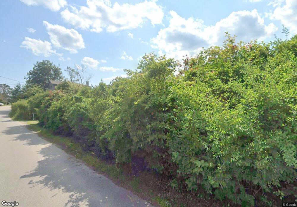
20 Lester Orcutt Blvd Unit 5 Blvd Unit 5 Biddeford, ME 04005
Estimated Value: $423,000 - $645,185
3
Beds
2
Baths
1,421
Sq Ft
$390/Sq Ft
Est. Value
About This Home
This home is located at 20 Lester Orcutt Blvd Unit 5 Blvd Unit 5, Biddeford, ME 04005 and is currently estimated at $554,046, approximately $389 per square foot. 20 Lester Orcutt Blvd Unit 5 Blvd Unit 5 is a home located in York County with nearby schools including John F Kennedy Memorial School, Biddeford Primary School, and Biddeford Intermediate School.
Ownership History
Date
Name
Owned For
Owner Type
Purchase Details
Closed on
Apr 3, 2018
Sold by
Christine J Spadafor T
Bought by
Petrovek Anastasia and Petrovek Steven
Current Estimated Value
Purchase Details
Closed on
Sep 21, 2012
Sold by
C Spadaford Clay Ft
Bought by
Christine J Spadafor T
Purchase Details
Closed on
May 9, 2005
Sold by
Spadador Christine J
Bought by
C Spadafor Clay Ft
Create a Home Valuation Report for This Property
The Home Valuation Report is an in-depth analysis detailing your home's value as well as a comparison with similar homes in the area
Home Values in the Area
Average Home Value in this Area
Purchase History
| Date | Buyer | Sale Price | Title Company |
|---|---|---|---|
| Petrovek Anastasia | -- | -- | |
| Christine J Spadafor T | -- | -- | |
| C Spadafor Clay Ft | -- | -- |
Source: Public Records
Tax History Compared to Growth
Tax History
| Year | Tax Paid | Tax Assessment Tax Assessment Total Assessment is a certain percentage of the fair market value that is determined by local assessors to be the total taxable value of land and additions on the property. | Land | Improvement |
|---|---|---|---|---|
| 2024 | $5,816 | $409,000 | $272,300 | $136,700 |
| 2023 | $4,714 | $359,300 | $272,300 | $87,000 |
| 2022 | $5,980 | $364,400 | $290,400 | $74,000 |
| 2021 | $5,837 | $320,200 | $264,000 | $56,200 |
| 2020 | $6,322 | $315,300 | $264,000 | $51,300 |
| 2019 | $6,300 | $315,300 | $264,000 | $51,300 |
| 2018 | $6,211 | $315,300 | $264,000 | $51,300 |
| 2017 | $6,328 | $315,300 | $264,000 | $51,300 |
| 2016 | $6,262 | $315,300 | $264,000 | $51,300 |
| 2015 | $7,118 | $365,600 | $304,000 | $61,600 |
| 2014 | $6,943 | $365,600 | $304,000 | $61,600 |
| 2013 | -- | $521,500 | $457,800 | $63,700 |
Source: Public Records
Map
Nearby Homes
- 17 B
- 0 Tide Water Dr Unit 1486386
- Lot Portland Rd
- 1-3 Daisy Ln
- 250 Drews Mill Rd
- TBD Whispering Willow Ln
- 00 Oak Ln
- 1 Tappan Island
- 1 Negro Island
- 3 Kyle Ln
- 368 South St
- 370 South St
- Lot 1 South St
- 369 South St
- 366 South St
- 367 South St
- Lot 2 South St
- 371 South St
- 4 Cathedral Oaks Dr
- 1 Cathedral Oaks Dr
