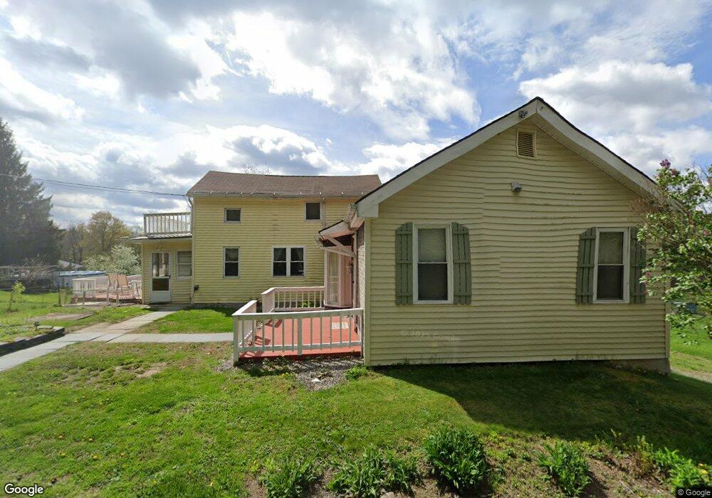
20 Lintner Rd Honesdale, PA 18431
Estimated Value: $222,000 - $261,000
3
Beds
1
Bath
1,563
Sq Ft
$154/Sq Ft
Est. Value
About This Home
This home is located at 20 Lintner Rd, Honesdale, PA 18431 and is currently estimated at $240,012, approximately $153 per square foot. 20 Lintner Rd is a home located in Wayne County with nearby schools including Honesdale High School.
Ownership History
Date
Name
Owned For
Owner Type
Purchase Details
Closed on
Mar 13, 2014
Sold by
Eroh George and Eroh Elizabeth
Bought by
Ciarrocchi Tamilyn B and Ciarrocchi Ronald A
Current Estimated Value
Home Financials for this Owner
Home Financials are based on the most recent Mortgage that was taken out on this home.
Original Mortgage
$44,000
Interest Rate
4.32%
Mortgage Type
New Conventional
Create a Home Valuation Report for This Property
The Home Valuation Report is an in-depth analysis detailing your home's value as well as a comparison with similar homes in the area
Home Values in the Area
Average Home Value in this Area
Purchase History
| Date | Buyer | Sale Price | Title Company |
|---|---|---|---|
| Ciarrocchi Tamilyn B | -- | None Available |
Source: Public Records
Mortgage History
| Date | Status | Borrower | Loan Amount |
|---|---|---|---|
| Closed | Ciarrocchi Ronald A | $75,000 | |
| Closed | Ciarrocchi Tamilyn B | $84,000 | |
| Closed | Ciarrocchi Tamilyn B | $55,000 | |
| Closed | Ciarrocchi Tamilyn B | $44,000 |
Source: Public Records
Tax History Compared to Growth
Tax History
| Year | Tax Paid | Tax Assessment Tax Assessment Total Assessment is a certain percentage of the fair market value that is determined by local assessors to be the total taxable value of land and additions on the property. | Land | Improvement |
|---|---|---|---|---|
| 2025 | $2,325 | $140,300 | $53,900 | $86,400 |
| 2024 | $2,218 | $140,300 | $53,900 | $86,400 |
| 2023 | $3,146 | $140,300 | $53,900 | $86,400 |
| 2022 | $1,956 | $81,200 | $28,600 | $52,600 |
| 2021 | $1,925 | $81,200 | $28,600 | $52,600 |
| 2020 | $1,925 | $81,200 | $28,600 | $52,600 |
| 2019 | $1,796 | $81,200 | $28,600 | $52,600 |
| 2018 | $1,747 | $81,200 | $28,600 | $52,600 |
| 2017 | $351 | $81,200 | $28,600 | $52,600 |
| 2016 | $1,298 | $81,200 | $28,600 | $52,600 |
| 2014 | -- | $81,200 | $28,600 | $52,600 |
Source: Public Records
Map
Nearby Homes
- 0 Bede Cir
- 33 Wanoka Ln
- 0 Owego Turnpike (Lot B)
- 3095 Lake Ariel Hwy
- 323 Spinner Rd
- 13 Millers Farm Ln
- 846 Terrace St
- 14 Summit View Ct
- 13 Summit View Ct
- 181 Whitney Lake Rd
- 18 Summit View Ct
- 22 Summit View Ct
- 27 Summit View Ct
- 28 Summit View Ct
- 104 Cherry View Ct
- 316 Laurel Dr
- 129 W Shore Dr
- 43 Bear Dr
- 6 Reid Ave
- 202 Deerfield Rd
- 20 Lintner Rd
- 8 Lintner Rd
- 2744 Lake Ariel Hwy
- 26 Lintner Rd
- 3 Spur Rd
- 35 Lintner Rd
- 40 Lintner Rd
- 30 Lintner Rd
- 2756 Lake Ariel Hwy
- 13 Spur Rd
- 13 Spur Rd
- 435 Middle Creek Rd
- 2766 Lake Ariel Hwy
- 21 Spur Rd
- 421 Middle Creek Rd
- 2751 Lake Ariel Hwy
- 2664 Lake Ariel Building D Hwy
- 5 Holiday Park Dr
- 2664 Lake Ariel Hwy
- 2664 Lake Ariel Hwy