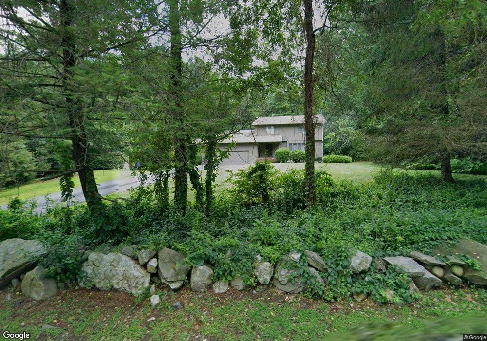
20 Locust Rd Chelmsford, MA 01824
Robin Hill NeighborhoodEstimated Value: $804,000 - $941,000
3
Beds
3
Baths
2,276
Sq Ft
$378/Sq Ft
Est. Value
About This Home
This home is located at 20 Locust Rd, Chelmsford, MA 01824 and is currently estimated at $861,087, approximately $378 per square foot. 20 Locust Rd is a home located in Middlesex County with nearby schools including Byam Elementary School, Parker Middle School, and Chelmsford High School.
Ownership History
Date
Name
Owned For
Owner Type
Purchase Details
Closed on
Oct 27, 2006
Sold by
Russo Paula K and Russo Richard R
Bought by
Moynihan Scott
Current Estimated Value
Home Financials for this Owner
Home Financials are based on the most recent Mortgage that was taken out on this home.
Original Mortgage
$376,000
Interest Rate
6.48%
Mortgage Type
Purchase Money Mortgage
Purchase Details
Closed on
Jun 12, 1987
Sold by
Sougnez Brian D
Bought by
Russo Richard R
Create a Home Valuation Report for This Property
The Home Valuation Report is an in-depth analysis detailing your home's value as well as a comparison with similar homes in the area
Home Values in the Area
Average Home Value in this Area
Purchase History
We collect this data history from publicly available records. To have your information removed, we recommend requesting removal directly through your county’s website.
| Date | Buyer | Sale Price | Title Company |
|---|---|---|---|
| Moynihan Scott | $470,000 | -- | |
| Russo Richard R | $260,000 | -- |
Source: Public Records
Mortgage History
We collect this data history from publicly available records. To have your information removed, we recommend requesting removal directly through your county’s website.
| Date | Status | Borrower | Loan Amount |
|---|---|---|---|
| Open | Russo Richard R | $340,000 | |
| Closed | Moynihan Scott | $376,000 | |
| Previous Owner | Russo Richard R | $50,000 | |
| Previous Owner | Russo Richard R | $30,000 |
Source: Public Records
Tax History
| Year | Tax Paid | Tax Assessment Tax Assessment Total Assessment is a certain percentage of the fair market value that is determined by local assessors to be the total taxable value of land and additions on the property. | Land | Improvement |
|---|---|---|---|---|
| 2025 | $9,961 | $716,600 | $363,400 | $353,200 |
| 2024 | $9,880 | $725,400 | $363,400 | $362,000 |
| 2023 | $9,300 | $647,200 | $370,100 | $277,100 |
| 2022 | $9,194 | $583,000 | $322,200 | $260,800 |
| 2021 | $8,600 | $546,400 | $295,800 | $250,600 |
| 2020 | $8,057 | $489,800 | $262,700 | $227,100 |
| 2019 | $7,770 | $475,200 | $271,400 | $203,800 |
| 2018 | $7,829 | $435,900 | $232,100 | $203,800 |
| 2017 | $8,302 | $463,300 | $217,700 | $245,600 |
| 2016 | $8,148 | $451,900 | $208,000 | $243,900 |
| 2015 | $7,847 | $419,600 | $189,200 | $230,400 |
| 2014 | $7,668 | $404,000 | $182,400 | $221,600 |
Source: Public Records
Map
Nearby Homes
- 84 Robin Hill Rd
- 69 Byam Rd
- 189 Littleton Rd Unit 19
- 189 Littleton Rd Unit 7
- 181 Littleton Rd Unit 123
- 93 High St
- 175 Littleton Rd Unit A-2
- 146 Acton Rd
- 26 Clover Hill Dr
- 12 Abbott Ln
- 8 Topeka Rd
- 9 Acton Rd Unit 6
- 9 Acton Rd Unit 8
- 360 Littleton Rd Unit C7
- 13 Warren Ave Unit B
- 15 R Warren Ave Unit 15R
- 15 Dakota Dr
- 45 First St
- 261 Pine Hill Rd
- 8 Galloway Rd
Your Personal Tour Guide
Ask me questions while you tour the home.