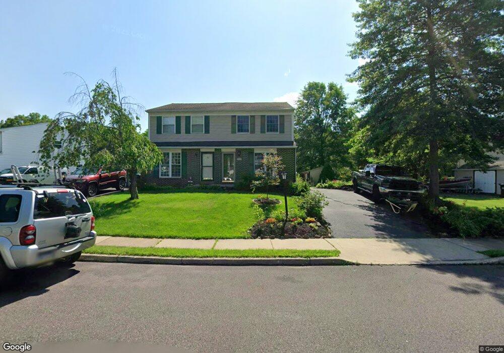
20 Lucky Ln Quakertown, PA 18951
Richland NeighborhoodEstimated Value: $276,000 - $335,000
2
Beds
2
Baths
1,344
Sq Ft
$227/Sq Ft
Est. Value
About This Home
This home is located at 20 Lucky Ln, Quakertown, PA 18951 and is currently estimated at $305,162, approximately $227 per square foot. 20 Lucky Ln is a home located in Bucks County with nearby schools including Quakertown Community Senior High School, United Friends School, and Faith Christian Academy K-6.
Ownership History
Date
Name
Owned For
Owner Type
Purchase Details
Closed on
Sep 25, 2002
Sold by
Colavita Claire C
Bought by
Buzzard Harry and Buzzard Susan
Current Estimated Value
Home Financials for this Owner
Home Financials are based on the most recent Mortgage that was taken out on this home.
Original Mortgage
$82,000
Interest Rate
6.27%
Mortgage Type
Seller Take Back
Purchase Details
Closed on
Jul 20, 1995
Sold by
Colavita Loucky J
Bought by
Colavita Claire C
Create a Home Valuation Report for This Property
The Home Valuation Report is an in-depth analysis detailing your home's value as well as a comparison with similar homes in the area
Home Values in the Area
Average Home Value in this Area
Purchase History
| Date | Buyer | Sale Price | Title Company |
|---|---|---|---|
| Buzzard Harry | $87,630 | -- | |
| Colavita Claire C | -- | -- |
Source: Public Records
Mortgage History
| Date | Status | Borrower | Loan Amount |
|---|---|---|---|
| Closed | Buzzard Harry | $82,000 |
Source: Public Records
Tax History Compared to Growth
Tax History
| Year | Tax Paid | Tax Assessment Tax Assessment Total Assessment is a certain percentage of the fair market value that is determined by local assessors to be the total taxable value of land and additions on the property. | Land | Improvement |
|---|---|---|---|---|
| 2025 | $3,243 | $16,080 | $4,200 | $11,880 |
| 2024 | $3,243 | $16,080 | $4,200 | $11,880 |
| 2023 | $3,211 | $16,080 | $4,200 | $11,880 |
| 2022 | $3,156 | $16,080 | $4,200 | $11,880 |
| 2021 | $3,156 | $16,080 | $4,200 | $11,880 |
| 2020 | $3,156 | $16,080 | $4,200 | $11,880 |
| 2019 | $3,069 | $16,080 | $4,200 | $11,880 |
| 2018 | $2,962 | $16,080 | $4,200 | $11,880 |
| 2017 | $2,871 | $16,080 | $4,200 | $11,880 |
| 2016 | $2,871 | $16,080 | $4,200 | $11,880 |
| 2015 | -- | $16,080 | $4,200 | $11,880 |
| 2014 | -- | $16,080 | $4,200 | $11,880 |
Source: Public Records
Map
Nearby Homes
- 2060 Rohrbach Ln
- 56 Dewsbury Ln
- 94 Braithwaite Ln
- 4 Stonegate Village
- 202 Andover Ct Unit 202
- 112 Jefferson Ct
- 803 W Broad St
- 27 S 7th St
- 811 W Mill St
- Manchester Plan at Fallbrooke Farms - Single Family Homes
- Arcadia Plan at Millstone at Parkside
- Covington Plan at Millstone at Parkside
- Harrison Plan at Millstone at Parkside
- Nottingham Plan at Fallbrooke Farms - Single Family Homes
- Parker Plan at Fallbrooke Farms - Single Family Homes
- Andrews Plan at Millstone at Parkside
- Nottingham Plan at Millstone at Parkside
- Arcadia Plan at Fallbrooke Farms - Single Family Homes
- Hawthorne Plan at Millstone at Parkside
- Augusta Plan at Fallbrooke Farms - Single Family Homes