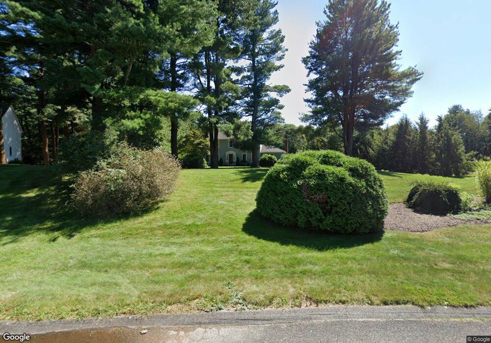
20 Lyndon Rd Wrentham, MA 02093
Estimated Value: $808,214 - $991,000
4
Beds
3
Baths
2,370
Sq Ft
$389/Sq Ft
Est. Value
About This Home
This home is located at 20 Lyndon Rd, Wrentham, MA 02093 and is currently estimated at $922,554, approximately $389 per square foot. 20 Lyndon Rd is a home located in Norfolk County with nearby schools including Delaney Elementary School, Charles E Roderick, and Foxborough Regional Charter School.
Ownership History
Date
Name
Owned For
Owner Type
Purchase Details
Closed on
Aug 30, 1996
Sold by
Miles John R and Miles Mary E
Bought by
Doherty Rt
Current Estimated Value
Home Financials for this Owner
Home Financials are based on the most recent Mortgage that was taken out on this home.
Original Mortgage
$162,000
Interest Rate
8.18%
Mortgage Type
Purchase Money Mortgage
Create a Home Valuation Report for This Property
The Home Valuation Report is an in-depth analysis detailing your home's value as well as a comparison with similar homes in the area
Home Values in the Area
Average Home Value in this Area
Purchase History
| Date | Buyer | Sale Price | Title Company |
|---|---|---|---|
| Doherty Rt | $262,000 | -- |
Source: Public Records
Mortgage History
| Date | Status | Borrower | Loan Amount |
|---|---|---|---|
| Open | Doherty Rt | $158,500 | |
| Closed | Doherty Rt | $162,000 |
Source: Public Records
Tax History Compared to Growth
Tax History
| Year | Tax Paid | Tax Assessment Tax Assessment Total Assessment is a certain percentage of the fair market value that is determined by local assessors to be the total taxable value of land and additions on the property. | Land | Improvement |
|---|---|---|---|---|
| 2025 | $8,017 | $691,700 | $303,500 | $388,200 |
| 2024 | $7,789 | $649,100 | $303,500 | $345,600 |
| 2023 | $7,670 | $607,800 | $275,900 | $331,900 |
| 2022 | $7,376 | $539,600 | $257,400 | $282,200 |
| 2021 | $6,834 | $485,700 | $224,800 | $260,900 |
| 2020 | $6,880 | $482,800 | $200,000 | $282,800 |
| 2019 | $6,646 | $470,700 | $200,000 | $270,700 |
| 2018 | $6,784 | $476,400 | $200,200 | $276,200 |
| 2017 | $6,675 | $468,400 | $196,300 | $272,100 |
| 2016 | $6,535 | $457,600 | $190,700 | $266,900 |
| 2015 | $6,398 | $427,100 | $183,300 | $243,800 |
| 2014 | $6,557 | $428,300 | $176,300 | $252,000 |
Source: Public Records
Map
Nearby Homes
- 1 Lorraine Metcalf Dr
- 270 Dedham St
- 362 East St
- 25 Foxboro Rd
- 65 Pond St
- 10 Nature View Dr
- 15 Nature View Dr
- 10 W Birch Rd
- 0 W Birch Rd
- 7 Hill St Unit 10
- 3 Oak Rd
- 71 Pond St
- 20 Valley St Unit 20
- 246 Forest Grove Ave
- 11 Goodwin Dr
- 483 Thurston St
- 319 Taunton St
- 120 Hawes St
- 131 Creek St Unit 7
- 45 King St
- 30 Lyndon Rd
- 40 Lyndon Rd
- 98 Winter St
- 15 Lyndon Rd
- 25 Lyndon Rd
- 84 Winter St
- 2 Lyndon Rd
- 5 Lyndon Rd
- 50 Lyndon Rd
- 49 Vernon Ave
- 15 Charles Samuel Way
- 10 Charles Samuel Way
- 92 Winter St
- 60 Lyndon Rd
- 101 Winter St
- 113 Winter St
- 113 Winter St Unit 113
- 113 Winter St Unit 115
- 117 Winter St Unit 119
- 85 Winter St