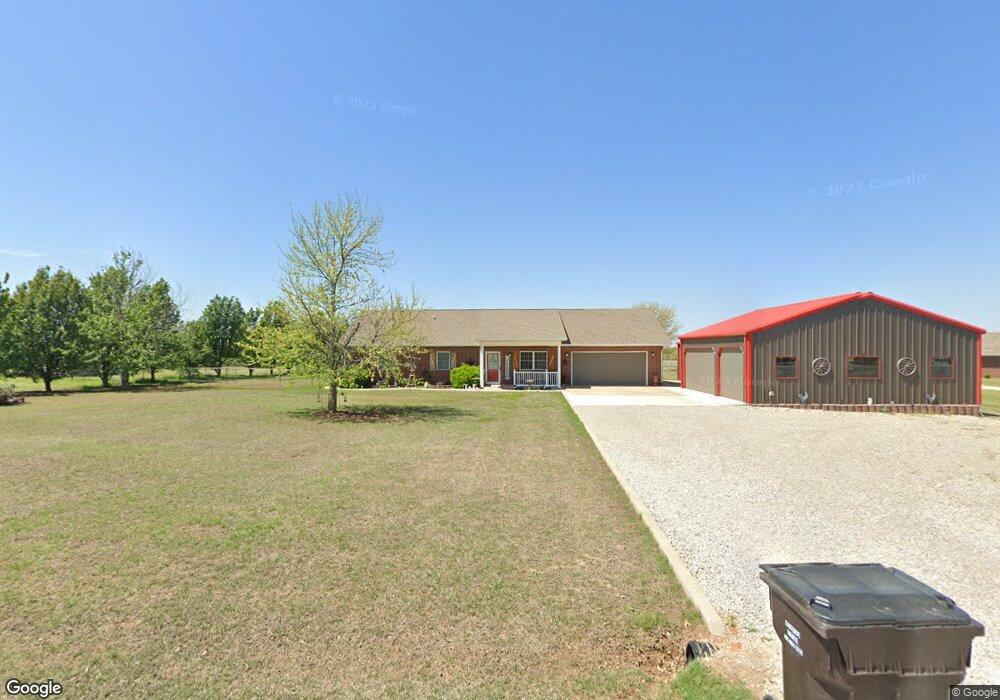
20 Lynette St Shawnee, OK 74804
Estimated Value: $271,000 - $317,000
4
Beds
3
Baths
1,380
Sq Ft
$213/Sq Ft
Est. Value
About This Home
This home is located at 20 Lynette St, Shawnee, OK 74804 and is currently estimated at $294,016, approximately $213 per square foot. 20 Lynette St is a home located in Pottawatomie County with nearby schools including Dale Elementary School, Dale Middle School, and Dale High School.
Ownership History
Date
Name
Owned For
Owner Type
Purchase Details
Closed on
Apr 7, 2005
Sold by
Jo Ellen Inc
Bought by
Rigney Todd and Rigney Shawna
Current Estimated Value
Home Financials for this Owner
Home Financials are based on the most recent Mortgage that was taken out on this home.
Original Mortgage
$87,147
Outstanding Balance
$52,651
Interest Rate
5.78%
Mortgage Type
USDA
Estimated Equity
$241,365
Purchase Details
Closed on
Nov 8, 2004
Sold by
Mlynek Phillip Olen and Mlynek Wanda Muriel
Bought by
Mlynek Michael Scott and Mlynek Jennifer Lynn
Create a Home Valuation Report for This Property
The Home Valuation Report is an in-depth analysis detailing your home's value as well as a comparison with similar homes in the area
Home Values in the Area
Average Home Value in this Area
Purchase History
| Date | Buyer | Sale Price | Title Company |
|---|---|---|---|
| Rigney Todd | -- | None Available | |
| Mlynek Michael Scott | -- | None Available |
Source: Public Records
Mortgage History
| Date | Status | Borrower | Loan Amount |
|---|---|---|---|
| Open | Rigney Todd | $87,147 |
Source: Public Records
Tax History Compared to Growth
Tax History
| Year | Tax Paid | Tax Assessment Tax Assessment Total Assessment is a certain percentage of the fair market value that is determined by local assessors to be the total taxable value of land and additions on the property. | Land | Improvement |
|---|---|---|---|---|
| 2024 | $2,496 | $23,580 | $1,200 | $22,380 |
| 2023 | $2,496 | $23,028 | $1,192 | $21,836 |
| 2022 | $2,193 | $22,358 | $1,183 | $21,175 |
| 2021 | $1,719 | $16,742 | $1,136 | $15,606 |
| 2020 | $1,665 | $15,780 | $1,064 | $14,716 |
| 2019 | $1,676 | $15,321 | $1,011 | $14,310 |
| 2018 | $1,606 | $14,874 | $977 | $13,897 |
| 2017 | $1,501 | $14,441 | $715 | $13,726 |
| 2016 | $1,274 | $14,022 | $693 | $13,329 |
| 2015 | $1,206 | $13,613 | $748 | $12,865 |
| 2014 | $1,206 | $13,216 | $741 | $12,475 |
Source: Public Records
Map
Nearby Homes
- 36656 Garrett's Lake Rd
- 36236 Prairie Ridge Ct
- 36021 Prairie Rdg Rd
- 70 Kristen Ct
- 120 Acres Hwy 140 & Hwy 177 Rd
- 35407 Westech Rd
- 33604 Timber Dr
- 9959 Hickory Hollow Rd
- 5557 Coker Rd
- 12803 Gaddy Rd
- 15 Gaddy Rd
- 43300 Wolverine Rd
- 9202 Cleo Ln
- 10697 Chandler Way
- 10693 Chandler Way
- 0 Highway Dr
- 42900 Wolverine Rd
- 15 Florene Dr
- 129 Lake Shore Dr
- 121 Lake Shore Dr