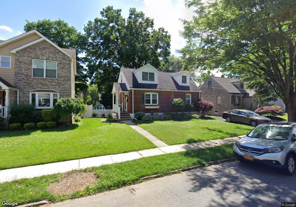
20 Macarthur St Cranford, NJ 07016
Estimated Value: $721,136 - $802,000
Studio
2
Baths
1,544
Sq Ft
$499/Sq Ft
Est. Value
About This Home
This home is located at 20 Macarthur St, Cranford, NJ 07016 and is currently estimated at $770,034, approximately $498 per square foot. 20 Macarthur St is a home located in Union County with nearby schools including Cranford Sr High School, Featherbed Lane School of Clark, and St Michael School.
Ownership History
Date
Name
Owned For
Owner Type
Purchase Details
Closed on
Jun 1, 2021
Sold by
Milner Celia E and Nishitani Ikuko
Bought by
Pagano Frank and Pagano Vanessa
Current Estimated Value
Home Financials for this Owner
Home Financials are based on the most recent Mortgage that was taken out on this home.
Original Mortgage
$444,000
Outstanding Balance
$401,987
Interest Rate
2.9%
Mortgage Type
New Conventional
Estimated Equity
$368,047
Purchase Details
Closed on
Mar 13, 2017
Sold by
Leonard Cathy Ann
Bought by
Milner Colin E and Nishant Ikuko
Home Financials for this Owner
Home Financials are based on the most recent Mortgage that was taken out on this home.
Original Mortgage
$400,900
Interest Rate
4.19%
Mortgage Type
New Conventional
Purchase Details
Closed on
Jul 16, 1993
Bought by
Leonard and Cathy Ann
Create a Home Valuation Report for This Property
The Home Valuation Report is an in-depth analysis detailing your home's value as well as a comparison with similar homes in the area
Home Values in the Area
Average Home Value in this Area
Purchase History
| Date | Buyer | Sale Price | Title Company |
|---|---|---|---|
| Pagano Frank | $555,000 | Sunnyside Title Agency Llc | |
| Redacted Upon Request | $555,000 | Sunnyside Title | |
| Milner Colin E | $422,000 | Nrt Title Agency Llc | |
| Leonard | $164,000 | -- |
Source: Public Records
Mortgage History
| Date | Status | Borrower | Loan Amount |
|---|---|---|---|
| Open | Redacted Upon Request | $444,000 | |
| Closed | Redacted Upon Request | $444,000 | |
| Previous Owner | Milner Colin E | $400,900 |
Source: Public Records
Tax History
| Year | Tax Paid | Tax Assessment Tax Assessment Total Assessment is a certain percentage of the fair market value that is determined by local assessors to be the total taxable value of land and additions on the property. | Land | Improvement |
|---|---|---|---|---|
| 2025 | $11,728 | $173,000 | $75,800 | $97,200 |
| 2024 | $11,534 | $173,000 | $75,800 | $97,200 |
| 2023 | $11,534 | $173,000 | $75,800 | $97,200 |
| 2022 | $11,439 | $173,000 | $75,800 | $97,200 |
| 2021 | $10,632 | $161,500 | $75,800 | $85,700 |
| 2020 | $10,598 | $161,500 | $75,800 | $85,700 |
| 2019 | $10,530 | $161,500 | $75,800 | $85,700 |
| 2018 | $10,339 | $161,500 | $75,800 | $85,700 |
| 2017 | $9,984 | $161,500 | $75,800 | $85,700 |
| 2016 | $9,621 | $161,500 | $75,800 | $85,700 |
| 2015 | $9,369 | $161,500 | $75,800 | $85,700 |
| 2014 | $9,176 | $161,500 | $75,800 | $85,700 |
Source: Public Records
Map
Nearby Homes
- 7 Colin Kelly St
- 302 New York Ave
- 17 Cherokee Rd
- 122 Central Ave
- 1921 Grandview Ave
- 19 Munsee Dr
- 301 Denman Rd
- 106 Frazee Ct
- 13 Roger Ave
- 331 West Ln
- 2 Roger Ave
- 262 Valley Rd
- 2849 Verona Ave
- 205 West Ln
- 501 Centennial Ave
- 431 Raritan Rd
- 45 Lexington Blvd
- 275 Valley Rd
- 272 Westfield Ave
- 85 Fulton St
- 20 Macarthur Ave
- 22 Macarthur St
- 18 Macarthur Ave
- 22 Macarthur Ave
- 16 Macarthur Ave
- 24 Macarthur Ave
- 19 Macarthur St
- 21 Pershing Ave
- 19 Pershing Ave
- 23 Pershing Ave
- 19 Macarthur Ave
- 21 Macarthur Ave
- 14 Macarthur Ave
- 15 Macarthur Ave
- 26 Macarthur Ave
- 17 Pershing Ave
- 25 Pershing Ave
- 23 Macarthur St
- 15 Pershing Ave
- 13 Macarthur Ave
Your Personal Tour Guide
Ask me questions while you tour the home.