20 Mackady Ct Westport, MA 02790
Brownell/Giffords Corner NeighborhoodEstimated Value: $707,546 - $754,000
3
Beds
--
Bath
1,804
Sq Ft
$406/Sq Ft
Est. Value
About This Home
This home is located at 20 Mackady Ct, Westport, MA 02790 and is currently estimated at $732,637, approximately $406 per square foot. 20 Mackady Ct is a home located in Bristol County with nearby schools including Alice A. Macomber Primary School, Westport Elementary School, and Westport Middle-High School.
Ownership History
Date
Name
Owned For
Owner Type
Purchase Details
Closed on
Sep 7, 2005
Sold by
Westport Co Inc and Long James J
Bought by
Friar Daniel L and Friar Jennifer J
Current Estimated Value
Create a Home Valuation Report for This Property
The Home Valuation Report is an in-depth analysis detailing your home's value as well as a comparison with similar homes in the area
Home Values in the Area
Average Home Value in this Area
Purchase History
| Date | Buyer | Sale Price | Title Company |
|---|---|---|---|
| Friar Daniel L | $150,000 | -- |
Source: Public Records
Mortgage History
| Date | Status | Borrower | Loan Amount |
|---|---|---|---|
| Open | Friar Daniel L | $178,000 | |
| Closed | Friar Daniel L | $180,000 |
Source: Public Records
Tax History Compared to Growth
Tax History
| Year | Tax Paid | Tax Assessment Tax Assessment Total Assessment is a certain percentage of the fair market value that is determined by local assessors to be the total taxable value of land and additions on the property. | Land | Improvement |
|---|---|---|---|---|
| 2025 | $4,480 | $601,400 | $217,700 | $383,700 |
| 2024 | $4,486 | $580,300 | $203,900 | $376,400 |
| 2023 | $4,390 | $538,000 | $187,500 | $350,500 |
| 2022 | $3,871 | $472,300 | $171,200 | $301,100 |
| 2021 | $3,871 | $449,100 | $158,100 | $291,000 |
| 2020 | $3,742 | $443,900 | $152,900 | $291,000 |
| 2019 | $4,004 | $484,200 | $152,900 | $331,300 |
| 2018 | $3,422 | $418,900 | $151,600 | $267,300 |
| 2017 | $3,359 | $421,500 | $151,600 | $269,900 |
| 2016 | $3,260 | $412,100 | $151,600 | $260,500 |
| 2015 | $3,159 | $398,300 | $147,800 | $250,500 |
Source: Public Records
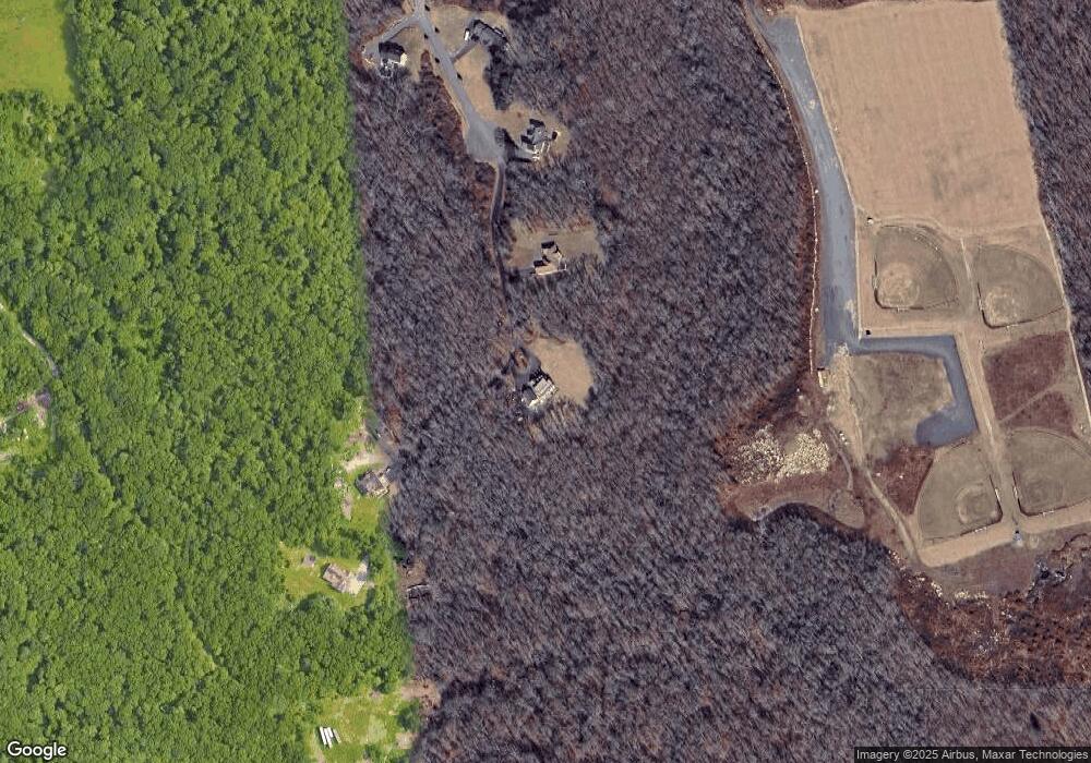
Map
Nearby Homes
- 4 Main Rd
- 6 Angel Ct
- 771 Sanford Rd
- 218 American Legion Hwy
- 118 Charlotte White Rd
- 47 Devol Ave
- Lot 0 Marcotte
- 33 Moniz Dr
- 40 Robert St
- 27 Dias Ave
- 0 Hidden Glen Ln
- 118 Charlotte White Rd Extension
- 8 Strawberry Ln
- 47 Robert St
- 47 Fallon Dr
- 978 Sodom Rd
- 51 Newton St
- 308 Robert St
- 9 Kyle Jacob Rd
- 0 Tickle Rd Unit 73453134
- 14 Mackady Ct
- 9 Mackady Ct
- 11 Mackady Ct
- 8 Mackady Ct
- 32 Mackady Ct
- 7 Mackady Ct
- 463 American Legion Hwy
- 3 Mackady Ct
- 519 American Legion Hwy Unit 6
- 519 American Legion Hwy Unit Bldg 2
- 519 American Legion Hwy Unit Bldg 5
- 519 American Legion Hwy Unit 5
- 519 American Legion Hwy Unit 2
- 519 American Legion Hwy Unit 6 A
- 519 American Legion Hwy Unit 4
- 519 American Legion Hwy Unit 1 6
- 519 American Legion Hwy Unit 3
- 519 American Legion Hwy Unit 11
- 519 American Legion Hwy Unit Bldg 7
- 515 American Legion Hwy