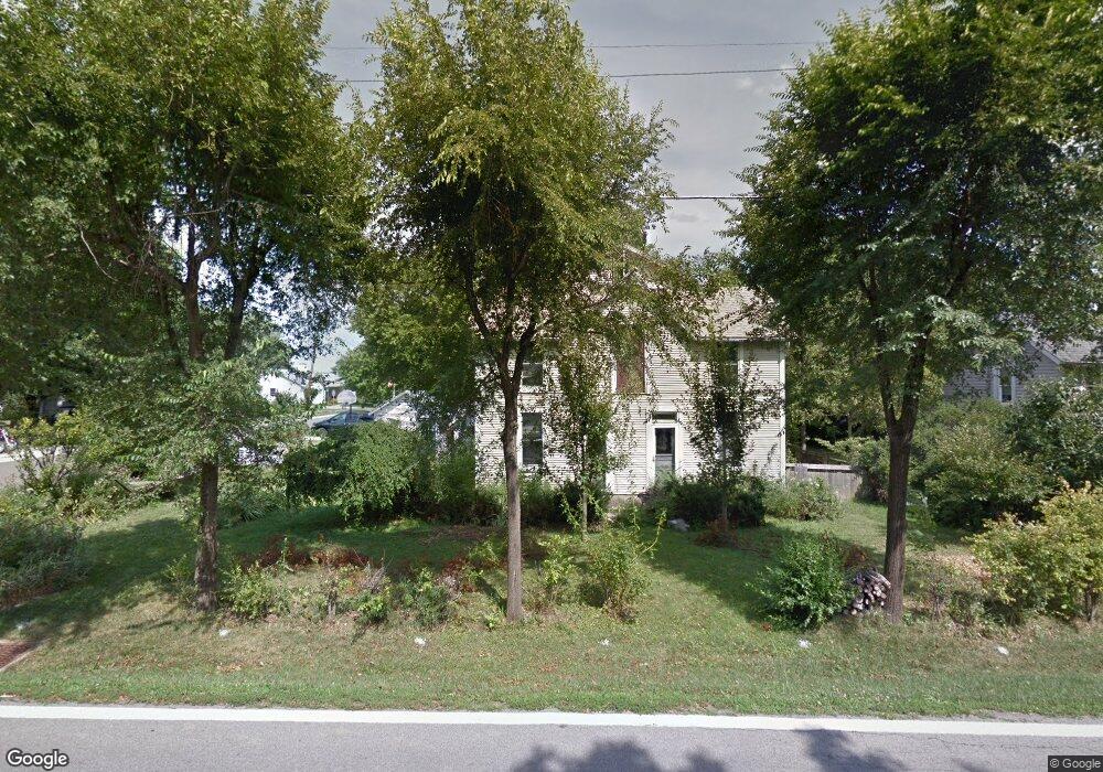
20 Main St Orient, OH 43146
Estimated Value: $143,000 - $256,000
2
Beds
1
Bath
2,000
Sq Ft
$105/Sq Ft
Est. Value
About This Home
This home is located at 20 Main St, Orient, OH 43146 and is currently estimated at $210,912, approximately $105 per square foot. 20 Main St is a home located in Pickaway County.
Ownership History
Date
Name
Owned For
Owner Type
Purchase Details
Closed on
Mar 17, 2022
Sold by
Blevins Celia R
Bought by
Shoemaker Chad E
Current Estimated Value
Purchase Details
Closed on
Jun 13, 1996
Sold by
Gulick Guy S
Bought by
Lawless William E and Durrett Tonia L
Home Financials for this Owner
Home Financials are based on the most recent Mortgage that was taken out on this home.
Original Mortgage
$79,959
Interest Rate
8.05%
Mortgage Type
FHA
Purchase Details
Closed on
Sep 12, 1991
Sold by
Carfrey Fern May
Bought by
Gulick Guy S
Purchase Details
Closed on
Sep 1, 1991
Create a Home Valuation Report for This Property
The Home Valuation Report is an in-depth analysis detailing your home's value as well as a comparison with similar homes in the area
Home Values in the Area
Average Home Value in this Area
Purchase History
| Date | Buyer | Sale Price | Title Company |
|---|---|---|---|
| Shoemaker Chad E | -- | None Listed On Document | |
| Lawless William E | $80,000 | -- | |
| Gulick Guy S | $27,500 | -- | |
| -- | $27,500 | -- |
Source: Public Records
Mortgage History
| Date | Status | Borrower | Loan Amount |
|---|---|---|---|
| Previous Owner | Lawless William E | $79,959 |
Source: Public Records
Tax History
| Year | Tax Paid | Tax Assessment Tax Assessment Total Assessment is a certain percentage of the fair market value that is determined by local assessors to be the total taxable value of land and additions on the property. | Land | Improvement |
|---|---|---|---|---|
| 2025 | $2,240 | $43,400 | $2,940 | $40,460 |
| 2024 | $2,240 | $43,400 | $2,940 | $40,460 |
| 2023 | $1,632 | $43,400 | $2,940 | $40,460 |
| 2022 | $1,420 | $34,680 | $2,500 | $32,180 |
| 2021 | $1,424 | $31,200 | $2,500 | $28,700 |
| 2020 | $1,282 | $31,200 | $2,500 | $28,700 |
| 2019 | $1,058 | $25,030 | $2,500 | $22,530 |
| 2018 | $975 | $25,030 | $2,500 | $22,530 |
| 2017 | $1,315 | $25,030 | $2,500 | $22,530 |
| 2016 | $949 | $23,670 | $2,490 | $21,180 |
| 2015 | $949 | $23,670 | $2,490 | $21,180 |
| 2014 | $950 | $23,670 | $2,490 | $21,180 |
| 2013 | $988 | $23,670 | $2,490 | $21,180 |
Source: Public Records
Map
Nearby Homes
- 472 Creekside Dr
- 505 Conley Dr
- 305 Cherry Hills Rd
- 282 Olympic Loop
- 24 Erin Hills Rd
- 290 Olympic Loop
- 358 Oakmont Dr
- 62 Chambers Bay Rd
- 277 Olympic Loop
- 298 Shady Hollow Dr
- 359 Oakmont Dr
- 304 Cherry Hills Rd
- 305 Olympic Loop
- 56 Chambers Bay Rd
- 507 Walker Pointe Dr
- 513 Heidish Dr
- 239 Peters Run Ct
- 263 Cavanaugh Dr
- 66 Genoa Cir
- 38 Waterman Ave
Your Personal Tour Guide
Ask me questions while you tour the home.