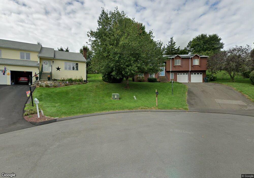
20 Mainstruck Cir Oakville, CT 06779
Estimated Value: $466,000 - $484,000
3
Beds
3
Baths
1,703
Sq Ft
$279/Sq Ft
Est. Value
About This Home
This home is located at 20 Mainstruck Cir, Oakville, CT 06779 and is currently estimated at $475,151, approximately $279 per square foot. 20 Mainstruck Cir is a home located in Litchfield County with nearby schools including John Trumbull Primary School, Swift Middle School, and Watertown High School.
Ownership History
Date
Name
Owned For
Owner Type
Purchase Details
Closed on
Sep 26, 2003
Sold by
Raisbrick Jonathan and Raisbrick Dana
Bought by
Schultz Jonathan and Schultz Shelley
Current Estimated Value
Home Financials for this Owner
Home Financials are based on the most recent Mortgage that was taken out on this home.
Original Mortgage
$247,400
Interest Rate
6.29%
Mortgage Type
Purchase Money Mortgage
Purchase Details
Closed on
Mar 31, 1994
Sold by
Mainstruck Alexander
Bought by
Ralstrick Jonathan
Create a Home Valuation Report for This Property
The Home Valuation Report is an in-depth analysis detailing your home's value as well as a comparison with similar homes in the area
Home Values in the Area
Average Home Value in this Area
Purchase History
| Date | Buyer | Sale Price | Title Company |
|---|---|---|---|
| Schultz Jonathan | $309,250 | -- | |
| Ralstrick Jonathan | $170,000 | -- |
Source: Public Records
Mortgage History
| Date | Status | Borrower | Loan Amount |
|---|---|---|---|
| Open | Ralstrick Jonathan | $247,254 | |
| Closed | Ralstrick Jonathan | $247,400 | |
| Previous Owner | Ralstrick Jonathan | $153,000 | |
| Previous Owner | Ralstrick Jonathan | $162,000 |
Source: Public Records
Tax History Compared to Growth
Tax History
| Year | Tax Paid | Tax Assessment Tax Assessment Total Assessment is a certain percentage of the fair market value that is determined by local assessors to be the total taxable value of land and additions on the property. | Land | Improvement |
|---|---|---|---|---|
| 2025 | $8,802 | $293,020 | $50,190 | $242,830 |
| 2024 | $8,313 | $293,020 | $50,190 | $242,830 |
| 2023 | $6,959 | $188,800 | $51,100 | $137,700 |
| 2022 | $6,597 | $188,800 | $51,100 | $137,700 |
| 2021 | $6,525 | $188,800 | $51,100 | $137,700 |
| 2020 | $6,266 | $188,800 | $51,100 | $137,700 |
| 2019 | $6,266 | $188,800 | $51,100 | $137,700 |
| 2018 | $6,053 | $180,200 | $56,200 | $124,000 |
| 2017 | $5,745 | $180,200 | $56,200 | $124,000 |
| 2016 | $5,566 | $180,200 | $56,200 | $124,000 |
| 2015 | $5,424 | $180,200 | $56,200 | $124,000 |
| 2014 | $5,247 | $180,200 | $56,200 | $124,000 |
Source: Public Records
Map
Nearby Homes
- 0 Slade St
- 180 Norway St
- 99 Norway St
- 238 Sylvan Lake Rd
- 93 Sunnyside Ave
- 127 Sunnyside Ave
- 116 Bushnell Ave
- 741 Echo Lake Rd
- 30 Linden St
- 133 Franklin Ave
- 111 Fairview Ave
- 21 Ridgeway Ave
- Falls Ave Falls Ave
- 464 French St
- 23 Prospect Ave
- 19 Henry St
- 81 Riverside St
- 54 Buckingham St
- 136 Morro St
- 83 Jason Ave