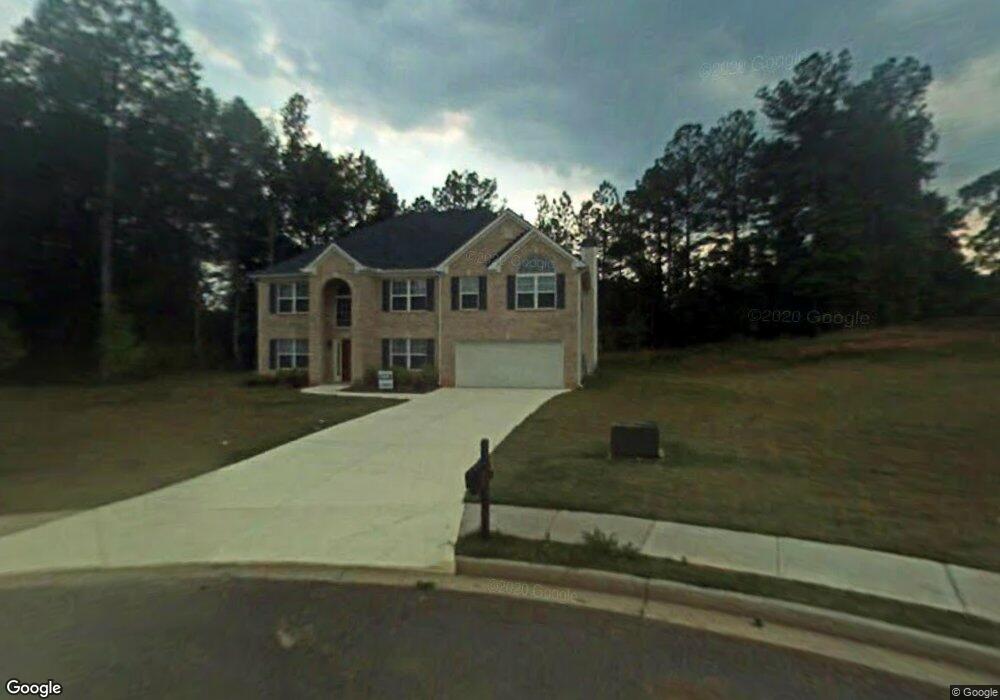
20 Malloy Ct Covington, GA 30014
Estimated Value: $358,000 - $393,000
5
Beds
5
Baths
3,204
Sq Ft
$119/Sq Ft
Est. Value
About This Home
This home is located at 20 Malloy Ct, Covington, GA 30014 and is currently estimated at $381,928, approximately $119 per square foot. 20 Malloy Ct is a home located in Newton County with nearby schools including Middle Ridge Elementary School, Clements Middle School, and Newton High School.
Ownership History
Date
Name
Owned For
Owner Type
Purchase Details
Closed on
Aug 27, 2008
Sold by
Bank Of North Georgia
Bought by
Norwood Lester
Current Estimated Value
Home Financials for this Owner
Home Financials are based on the most recent Mortgage that was taken out on this home.
Original Mortgage
$146,972
Outstanding Balance
$95,080
Interest Rate
6.21%
Mortgage Type
FHA
Estimated Equity
$286,848
Create a Home Valuation Report for This Property
The Home Valuation Report is an in-depth analysis detailing your home's value as well as a comparison with similar homes in the area
Home Values in the Area
Average Home Value in this Area
Purchase History
| Date | Buyer | Sale Price | Title Company |
|---|---|---|---|
| Norwood Lester | $148,500 | -- |
Source: Public Records
Mortgage History
| Date | Status | Borrower | Loan Amount |
|---|---|---|---|
| Open | Norwood Lester | $146,972 |
Source: Public Records
Tax History Compared to Growth
Tax History
| Year | Tax Paid | Tax Assessment Tax Assessment Total Assessment is a certain percentage of the fair market value that is determined by local assessors to be the total taxable value of land and additions on the property. | Land | Improvement |
|---|---|---|---|---|
| 2025 | $3,824 | $157,520 | $24,000 | $133,520 |
| 2024 | $3,895 | $157,640 | $24,000 | $133,640 |
| 2023 | $3,650 | $138,400 | $11,200 | $127,200 |
| 2022 | $2,420 | $93,040 | $11,200 | $81,840 |
| 2021 | $2,645 | $91,120 | $11,200 | $79,920 |
| 2020 | $2,916 | $90,680 | $11,200 | $79,480 |
| 2019 | $2,324 | $72,040 | $7,000 | $65,040 |
| 2018 | $2,183 | $67,480 | $7,000 | $60,480 |
| 2017 | $2,211 | $68,280 | $7,000 | $61,280 |
| 2016 | $1,985 | $61,720 | $4,400 | $57,320 |
| 2015 | $1,918 | $59,760 | $4,400 | $55,360 |
| 2014 | $1,913 | $59,760 | $0 | $0 |
Source: Public Records
Map
Nearby Homes
- 45 Wyndmont Way
- 80 Taunton Rd
- 130 Taunton Rd
- 10178 Allen Dr SW
- 10182 Blackwell St
- 10214 Allen Dr SW
- 10601 Flat Shoals Rd
- 10133 Morris Dr SW
- 9126 Griffin Ln SW
- 9102 Morris Dr SW
- 9107 Morris Dr SW
- 105 Sara Dr
- 9184 Thrash St SW
- 9142 Ford St SW
- 25 Lena Ct
- 8330 N Sterling Lakes Dr
- 130 Ella Dr
- 9248 Flat Shoals Rd SW
- 9200 Jefferson Ave SW
- 9182 SW Flat Shoals Rd None
- 30 Malloy Ct
- 30 Wyndmont Way
- 10 Malloy Ct
- 35 Malloy Ct
- 10453 Flat Shoals Rd
- 25 Malloy Ct
- 10467 Flat Shoals Rd
- 70 Wyndmont Way
- 55 Taunton Rd
- 35 Wyndmont Way
- 25 Wyndmont Way
- 55 Wyndmont Way
- 15 Wyndmont Way
- 65 Wyndmont Way
- 57 Taunton Rd
- 80 Wyndmont Way
- 75 Wyndmont Way
- 10420 Flat Shoals Rd
- 40 Taunton Rd
- 40 Taunton Rd