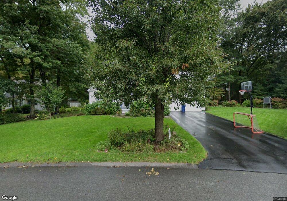
20 Malloy St Medway, MA 02053
Estimated Value: $729,629 - $817,000
3
Beds
3
Baths
1,978
Sq Ft
$394/Sq Ft
Est. Value
About This Home
This home is located at 20 Malloy St, Medway, MA 02053 and is currently estimated at $779,657, approximately $394 per square foot. 20 Malloy St is a home located in Norfolk County with nearby schools including John D. McGovern Elementary School, Burke-Memorial Elementary, and Medway Middle School.
Ownership History
Date
Name
Owned For
Owner Type
Purchase Details
Closed on
May 24, 2002
Sold by
Feeney Michael J
Bought by
Monaghan Michael P and Monaghan Laura S
Current Estimated Value
Home Financials for this Owner
Home Financials are based on the most recent Mortgage that was taken out on this home.
Original Mortgage
$284,800
Interest Rate
7.01%
Mortgage Type
Purchase Money Mortgage
Purchase Details
Closed on
Nov 30, 1998
Sold by
Dougherty Brian and Dougherty Lynn M
Bought by
Feeney Michael J
Home Financials for this Owner
Home Financials are based on the most recent Mortgage that was taken out on this home.
Original Mortgage
$216,000
Interest Rate
6.83%
Mortgage Type
Purchase Money Mortgage
Purchase Details
Closed on
Dec 31, 1991
Sold by
Brisson William C
Bought by
Dougherty Brian and Dougherty Lynn M
Home Financials for this Owner
Home Financials are based on the most recent Mortgage that was taken out on this home.
Original Mortgage
$148,500
Interest Rate
8.62%
Mortgage Type
Purchase Money Mortgage
Create a Home Valuation Report for This Property
The Home Valuation Report is an in-depth analysis detailing your home's value as well as a comparison with similar homes in the area
Home Values in the Area
Average Home Value in this Area
Purchase History
| Date | Buyer | Sale Price | Title Company |
|---|---|---|---|
| Monaghan Michael P | $356,000 | -- | |
| Feeney Michael J | $216,000 | -- | |
| Dougherty Brian | $165,000 | -- |
Source: Public Records
Mortgage History
| Date | Status | Borrower | Loan Amount |
|---|---|---|---|
| Open | Dougherty Brian | $285,600 | |
| Closed | Monaghan Michael P | $284,800 | |
| Previous Owner | Dougherty Brian | $216,000 | |
| Previous Owner | Dougherty Brian | $25,000 | |
| Previous Owner | Dougherty Brian | $148,500 |
Source: Public Records
Tax History Compared to Growth
Tax History
| Year | Tax Paid | Tax Assessment Tax Assessment Total Assessment is a certain percentage of the fair market value that is determined by local assessors to be the total taxable value of land and additions on the property. | Land | Improvement |
|---|---|---|---|---|
| 2025 | $8,976 | $629,900 | $290,400 | $339,500 |
| 2024 | $9,071 | $629,900 | $290,400 | $339,500 |
| 2023 | $8,636 | $541,800 | $240,600 | $301,200 |
| 2022 | $8,418 | $497,200 | $213,600 | $283,600 |
| 2021 | $8,384 | $480,200 | $197,000 | $283,200 |
| 2020 | $7,959 | $454,800 | $182,500 | $272,300 |
| 2019 | $7,645 | $450,500 | $182,500 | $268,000 |
| 2018 | $7,693 | $435,600 | $174,200 | $261,400 |
| 2017 | $7,580 | $423,000 | $168,000 | $255,000 |
| 2016 | $7,163 | $395,500 | $161,800 | $233,700 |
| 2015 | $6,913 | $379,000 | $149,300 | $229,700 |
| 2014 | $6,681 | $354,600 | $149,300 | $205,300 |
Source: Public Records
Map
Nearby Homes
- 22 Sunset Dr
- 3 Meryl St
- 14 Heritage Dr
- 12 Lovering St
- 280 Village St Unit D2
- 106 Holliston St
- 36 Lovering St
- 50 Main St
- 4 Shaw St
- 176 Main St Unit 3
- 28 Wellington St
- 20 Broad St Unit 6
- 20 Broad St Unit A
- 20 Broad St Unit 4
- 14 Sanford St Unit 15
- 9 Sanford St
- 220 Main St Unit 220
- 21 Riverside Rd
- 5 Fales St
- 841 Lincoln St
- 2 Orchard St
- 18 Malloy St
- 17 Malloy St
- 15 Malloy St
- 4 Orchard St
- 16 Malloy St
- 18 Henry St
- 89 Main St Unit 101
- 89 Main St Unit D
- 89 Main St Unit 214
- 89 Main St Unit 111
- 89 Main St Unit 109
- 89 Main St Unit 205
- 89 Main St Unit B
- 89 Main St Unit 107
- 89 Main St Unit 204
- 89 Main St Unit 302
- 89 Main St Unit 215
- 89 Main St Unit 206
- 89 Main St Unit 300