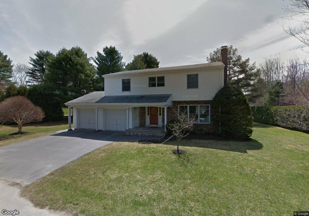
20 Manning Ave Lewiston, ME 04240
Estimated Value: $406,060 - $422,000
4
Beds
3
Baths
2,179
Sq Ft
$190/Sq Ft
Est. Value
About This Home
This home is located at 20 Manning Ave, Lewiston, ME 04240 and is currently estimated at $415,015, approximately $190 per square foot. 20 Manning Ave is a home with nearby schools including Raymond A. Geiger Elementary School, Lewiston High School, and Central Maine Christian Academy.
Create a Home Valuation Report for This Property
The Home Valuation Report is an in-depth analysis detailing your home's value as well as a comparison with similar homes in the area
Home Values in the Area
Average Home Value in this Area
Tax History Compared to Growth
Tax History
| Year | Tax Paid | Tax Assessment Tax Assessment Total Assessment is a certain percentage of the fair market value that is determined by local assessors to be the total taxable value of land and additions on the property. | Land | Improvement |
|---|---|---|---|---|
| 2025 | $5,260 | $160,460 | $32,040 | $128,420 |
| 2024 | $4,875 | $153,460 | $32,040 | $121,420 |
| 2023 | $4,604 | $153,460 | $32,040 | $121,420 |
| 2022 | $4,374 | $153,460 | $32,040 | $121,420 |
| 2021 | $4,337 | $153,460 | $32,040 | $121,420 |
| 2020 | $4,400 | $153,460 | $32,040 | $121,420 |
| 2019 | $4,437 | $153,460 | $32,040 | $121,420 |
| 2018 | $4,400 | $153,460 | $32,040 | $121,420 |
| 2017 | $4,300 | $153,460 | $32,040 | $121,420 |
| 2016 | $4,149 | $150,660 | $32,040 | $118,620 |
| 2015 | $4,124 | $150,660 | $32,040 | $118,620 |
| 2014 | $4,006 | $150,660 | $32,040 | $118,620 |
| 2013 | $3,983 | $150,660 | $32,040 | $118,620 |
Source: Public Records
Map
Nearby Homes
- 16 Manning Ave
- 21 Bristol Rd
- 17 Manning Ave
- Lot 33 0 Bristol Rd
- 25 Manning Ave
- 32 S Surry Ln
- 12 Manning Ave
- 18 Bristol Rd
- 26 Manning Ave
- 2 Wicklow Place
- Lot 17/7 Buttonwood Ln
- 9 Sutton Place
- 30 S Surry Ln
- 17 Bristol Rd
- 6 Sutton Place
- 1 Wicklow Place
- 10 Sutton Place
- 21 Buttonwood Ln
- 6 Wicklow Place
- 1 Buttonwood Ln