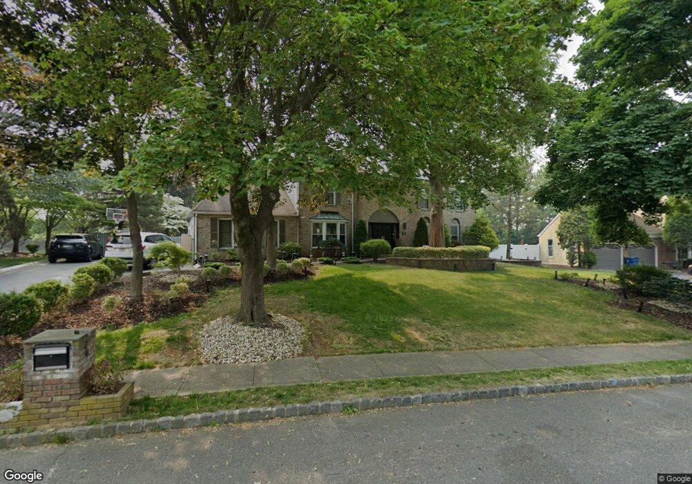
20 Manor Dr Marlboro, NJ 07746
Estimated Value: $965,000 - $1,034,000
4
Beds
3
Baths
2,698
Sq Ft
$375/Sq Ft
Est. Value
About This Home
This home is located at 20 Manor Dr, Marlboro, NJ 07746 and is currently estimated at $1,010,674, approximately $374 per square foot. 20 Manor Dr is a home located in Monmouth County with nearby schools including Frank J. Dugan Elementary School, Marlboro Middle School, and Marlboro High School.
Ownership History
Date
Name
Owned For
Owner Type
Purchase Details
Closed on
Sep 22, 2003
Sold by
Lerman Melvin
Bought by
Shehata Medhat
Current Estimated Value
Home Financials for this Owner
Home Financials are based on the most recent Mortgage that was taken out on this home.
Original Mortgage
$480,000
Interest Rate
5.81%
Purchase Details
Closed on
Jun 13, 1994
Sold by
Anchor Mortgage Services
Bought by
Lerman Melvin and Lerman Joan
Home Financials for this Owner
Home Financials are based on the most recent Mortgage that was taken out on this home.
Original Mortgage
$254,000
Interest Rate
8.55%
Create a Home Valuation Report for This Property
The Home Valuation Report is an in-depth analysis detailing your home's value as well as a comparison with similar homes in the area
Home Values in the Area
Average Home Value in this Area
Purchase History
| Date | Buyer | Sale Price | Title Company |
|---|---|---|---|
| Shehata Medhat | $600,000 | -- | |
| Lerman Melvin | $318,500 | -- |
Source: Public Records
Mortgage History
| Date | Status | Borrower | Loan Amount |
|---|---|---|---|
| Previous Owner | Shehata Medhat | $480,000 | |
| Previous Owner | Lerman Melvin | $254,000 |
Source: Public Records
Tax History Compared to Growth
Tax History
| Year | Tax Paid | Tax Assessment Tax Assessment Total Assessment is a certain percentage of the fair market value that is determined by local assessors to be the total taxable value of land and additions on the property. | Land | Improvement |
|---|---|---|---|---|
| 2025 | $14,413 | $577,900 | $289,600 | $288,300 |
| 2024 | $13,777 | $577,900 | $289,600 | $288,300 |
| 2023 | $13,777 | $577,900 | $289,600 | $288,300 |
| 2022 | $13,425 | $577,900 | $289,600 | $288,300 |
| 2021 | $13,292 | $577,900 | $289,600 | $288,300 |
| 2020 | $13,286 | $577,900 | $289,600 | $288,300 |
| 2019 | $13,292 | $577,900 | $289,600 | $288,300 |
| 2018 | $13,066 | $577,900 | $289,600 | $288,300 |
| 2017 | $12,812 | $577,900 | $289,600 | $288,300 |
| 2016 | $12,760 | $577,900 | $289,600 | $288,300 |
| 2015 | $12,561 | $577,500 | $289,600 | $287,900 |
| 2014 | $11,737 | $534,000 | $259,600 | $274,400 |
Source: Public Records
Map
Nearby Homes
- 254 Plum Dr
- 97 Tangerine Dr
- 25 Whistler Way
- 35 Old Mill Rd
- 27 Hummingbird Ct
- 118 Pelican Ct
- 11 Whistler Way
- 10 Surray Ct
- 26 Lansdale Dr
- 62 Murray Hill Terrace
- 69 Suffolk Way
- 620 Kirwan Ct
- 23 Woodpecker Way
- 72 Murray Hill Terrace
- 29 Coventry Terrace
- 3 Saxon Ct
- 87 Murray Hill Terrace
- 49 Barn Swallow Blvd
- 107 Clubhouse Ln
- 53 Barn Swallow Blvd