20 Many Oaks Cir Yarmouth Port, MA 02675
Yarmouth Port NeighborhoodEstimated Value: $704,009 - $777,000
3
Beds
2
Baths
1,540
Sq Ft
$483/Sq Ft
Est. Value
About This Home
This home is located at 20 Many Oaks Cir, Yarmouth Port, MA 02675 and is currently estimated at $744,002, approximately $483 per square foot. 20 Many Oaks Cir is a home located in Barnstable County with nearby schools including Dennis-Yarmouth Regional High School and St. Pius X. School.
Ownership History
Date
Name
Owned For
Owner Type
Purchase Details
Closed on
Oct 6, 2020
Sold by
Reilly Mark T
Bought by
Reilly Mark T and Cimetti Linda
Current Estimated Value
Home Financials for this Owner
Home Financials are based on the most recent Mortgage that was taken out on this home.
Original Mortgage
$238,000
Outstanding Balance
$170,690
Interest Rate
2.8%
Mortgage Type
New Conventional
Estimated Equity
$573,312
Purchase Details
Closed on
Dec 8, 1993
Sold by
Obrien Michael S and Obrien Paula M
Bought by
Reilly Mark T
Home Financials for this Owner
Home Financials are based on the most recent Mortgage that was taken out on this home.
Original Mortgage
$121,500
Interest Rate
6.78%
Mortgage Type
Purchase Money Mortgage
Create a Home Valuation Report for This Property
The Home Valuation Report is an in-depth analysis detailing your home's value as well as a comparison with similar homes in the area
Home Values in the Area
Average Home Value in this Area
Purchase History
| Date | Buyer | Sale Price | Title Company |
|---|---|---|---|
| Reilly Mark T | -- | None Available | |
| Reilly Mark T | $130,000 | -- |
Source: Public Records
Mortgage History
| Date | Status | Borrower | Loan Amount |
|---|---|---|---|
| Open | Reilly Mark T | $238,000 | |
| Previous Owner | Reilly Mark T | $190,000 | |
| Previous Owner | Reilly Mark T | $186,000 | |
| Previous Owner | Reilly Mark T | $121,500 |
Source: Public Records
Tax History Compared to Growth
Tax History
| Year | Tax Paid | Tax Assessment Tax Assessment Total Assessment is a certain percentage of the fair market value that is determined by local assessors to be the total taxable value of land and additions on the property. | Land | Improvement |
|---|---|---|---|---|
| 2025 | $4,586 | $647,700 | $173,100 | $474,600 |
| 2024 | $4,331 | $586,800 | $150,600 | $436,200 |
| 2023 | $4,260 | $525,300 | $136,900 | $388,400 |
| 2022 | $4,044 | $440,500 | $130,600 | $309,900 |
| 2021 | $3,765 | $393,800 | $130,600 | $263,200 |
| 2020 | $3,734 | $373,400 | $138,300 | $235,100 |
| 2019 | $3,432 | $339,800 | $138,300 | $201,500 |
| 2018 | $3,259 | $316,700 | $115,200 | $201,500 |
| 2017 | $3,173 | $316,700 | $115,200 | $201,500 |
| 2016 | $3,069 | $307,500 | $106,000 | $201,500 |
| 2015 | $2,891 | $287,900 | $101,400 | $186,500 |
Source: Public Records
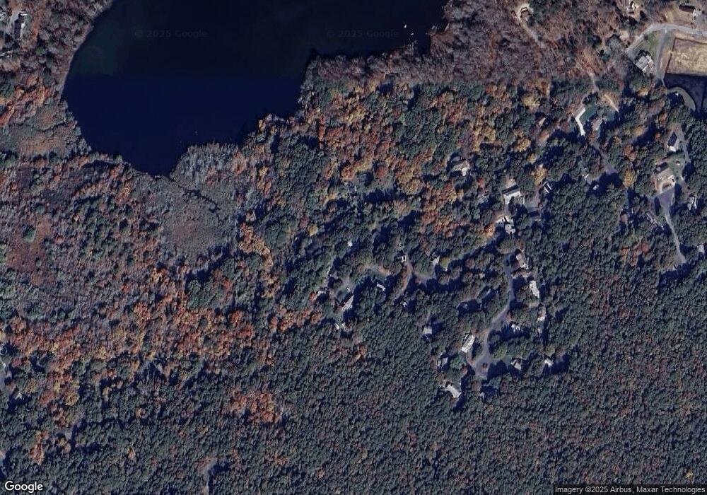
Map
Nearby Homes
- 0 Weir Rd Unit 2029093
- 0 Weir Rd Unit 2002625
- 0 Weir Rd Unit 9904550
- 0 Weir Rd Unit 9904547
- 0 Weir Rd Unit 9901346
- 0 Weir Rd Unit 2 2020632
- 0 Weir Rd
- 22 Many Oaks Cir
- 18 Many Oaks Cir
- 21 Many Oaks Cir
- 24 Many Oaks Cir
- 280 Weir Rd
- 23 Many Oaks Cir
- 275 Weir Rd
- 9 Many Oaks Cir
- 19 Many Oaks Cir
- 8 Many Oaks Cir
- 270 Weir Rd
- 11 Many Oaks Cir
- 15 Many Oaks Cir