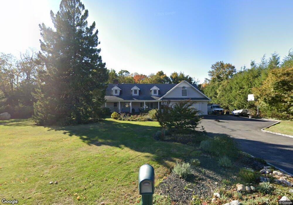
20 Maple Rd Setauket, NY 11733
Estimated Value: $834,669 - $941,000
3
Beds
1
Bath
1,752
Sq Ft
$500/Sq Ft
Est. Value
About This Home
This home is located at 20 Maple Rd, Setauket, NY 11733 and is currently estimated at $875,167, approximately $499 per square foot. 20 Maple Rd is a home located in Suffolk County with nearby schools including Setauket Elementary School, Paul J Gelinas Junior High School, and Ward Melville Senior High School.
Ownership History
Date
Name
Owned For
Owner Type
Purchase Details
Closed on
Dec 23, 1998
Sold by
Robley Cathleen
Bought by
Devaney Michael and Devaney Susan
Current Estimated Value
Home Financials for this Owner
Home Financials are based on the most recent Mortgage that was taken out on this home.
Original Mortgage
$138,000
Interest Rate
6.67%
Purchase Details
Closed on
Jun 3, 1997
Sold by
Mcinerney James J and Mcinerney Mary R
Bought by
Robley Cathleen
Create a Home Valuation Report for This Property
The Home Valuation Report is an in-depth analysis detailing your home's value as well as a comparison with similar homes in the area
Home Values in the Area
Average Home Value in this Area
Purchase History
| Date | Buyer | Sale Price | Title Company |
|---|---|---|---|
| Devaney Michael | $245,000 | Chicago Title Insurance Co | |
| Robley Cathleen | $230,000 | Chicago Title Insurance Co |
Source: Public Records
Mortgage History
| Date | Status | Borrower | Loan Amount |
|---|---|---|---|
| Closed | Devaney Michael | $138,000 |
Source: Public Records
Tax History
| Year | Tax Paid | Tax Assessment Tax Assessment Total Assessment is a certain percentage of the fair market value that is determined by local assessors to be the total taxable value of land and additions on the property. | Land | Improvement |
|---|---|---|---|---|
| 2024 | $16,523 | $4,190 | $450 | $3,740 |
| 2023 | $16,523 | $4,190 | $450 | $3,740 |
| 2022 | $14,878 | $4,190 | $450 | $3,740 |
| 2021 | $14,878 | $4,190 | $450 | $3,740 |
| 2020 | $15,357 | $4,190 | $450 | $3,740 |
| 2019 | $15,357 | $0 | $0 | $0 |
| 2018 | $14,576 | $4,190 | $450 | $3,740 |
| 2017 | $14,576 | $4,190 | $450 | $3,740 |
| 2016 | $15,312 | $4,450 | $450 | $4,000 |
| 2015 | -- | $4,450 | $450 | $4,000 |
| 2014 | -- | $4,450 | $450 | $4,000 |
Source: Public Records
Map
Nearby Homes
Your Personal Tour Guide
Ask me questions while you tour the home.