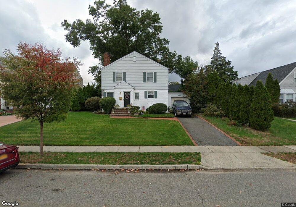
20 Maple St Garden City, NY 11530
Estimated Value: $1,036,384 - $1,254,000
--
Bed
2
Baths
1,516
Sq Ft
$755/Sq Ft
Est. Value
About This Home
This home is located at 20 Maple St, Garden City, NY 11530 and is currently estimated at $1,145,192, approximately $755 per square foot. 20 Maple St is a home located in Nassau County with nearby schools including Hemlock School, Stewart School, and Garden City Middle School.
Ownership History
Date
Name
Owned For
Owner Type
Purchase Details
Closed on
Aug 5, 1996
Sold by
Globenfelt Jack and Globenfelt Mary
Bought by
Carle Patrick and Carle Joanne
Current Estimated Value
Home Financials for this Owner
Home Financials are based on the most recent Mortgage that was taken out on this home.
Original Mortgage
$301,500
Outstanding Balance
$23,558
Interest Rate
8.08%
Estimated Equity
$1,121,634
Create a Home Valuation Report for This Property
The Home Valuation Report is an in-depth analysis detailing your home's value as well as a comparison with similar homes in the area
Home Values in the Area
Average Home Value in this Area
Purchase History
| Date | Buyer | Sale Price | Title Company |
|---|---|---|---|
| Carle Patrick | $335,000 | -- |
Source: Public Records
Mortgage History
| Date | Status | Borrower | Loan Amount |
|---|---|---|---|
| Open | Carle Patrick | $301,500 |
Source: Public Records
Tax History Compared to Growth
Tax History
| Year | Tax Paid | Tax Assessment Tax Assessment Total Assessment is a certain percentage of the fair market value that is determined by local assessors to be the total taxable value of land and additions on the property. | Land | Improvement |
|---|---|---|---|---|
| 2025 | $11,349 | $749 | $298 | $451 |
| 2024 | $1,687 | $749 | $298 | $451 |
| 2023 | $10,749 | $749 | $298 | $451 |
| 2022 | $10,749 | $749 | $298 | $451 |
| 2021 | $15,583 | $727 | $289 | $438 |
| 2020 | $11,394 | $1,199 | $1,128 | $71 |
| 2019 | $10,993 | $1,199 | $1,128 | $71 |
| 2018 | $10,242 | $1,199 | $0 | $0 |
| 2017 | $7,309 | $1,199 | $1,128 | $71 |
| 2016 | $9,109 | $1,199 | $1,128 | $71 |
| 2015 | $1,732 | $1,199 | $1,128 | $71 |
| 2014 | $1,732 | $1,199 | $1,128 | $71 |
| 2013 | $1,636 | $1,199 | $1,128 | $71 |
Source: Public Records
Map
Nearby Homes
- 68 Kenwood Rd
- 5 Birchwood Ct Unit 3 N
- 60 Pell Terrace
- 1 Birchwood Ct Unit 5 H
- 6 Birchwood Ct Unit 4N
- 6 Birchwood Ct Unit 3H
- 4 Birchwood Ct Unit 5A
- 2 Birchwood Ct Unit 1O
- 34 East Dr
- 84 2nd St Unit 80
- 87 Roosevelt Place
- 132 Arthur St
- 101 Clinton Ave Unit 1A
- 101 Clinton Ave Unit 2-J
- 100 Clinton Ave Unit 3-0
- 100 Clinton Ave Unit 1V
- 100 Clinton Ave Unit 2J
- 100 Clinton Ave Unit 2N
- 123 15th St Unit A-1
- 101 Lincoln Ave Unit 4K
- 18 Maple St
- 72 Bayberry Ave
- 189 Wetherill Rd
- 191 Wetherill Rd
- 16 Maple St
- 187 Wetherill Rd
- 21 Maple St
- 19 Maple St
- 76 Bayberry Ave
- 185 Wetherill Rd
- 14 Maple St
- 17 Maple St
- 71 Bayberry Ave
- 201 Wetherill Rd
- 192 Wetherill Rd
- 15 Maple St
- 183 Wetherill Rd
- 190 Wetherill Rd
- 75 Bayberry Ave
- 188 Wetherill Rd