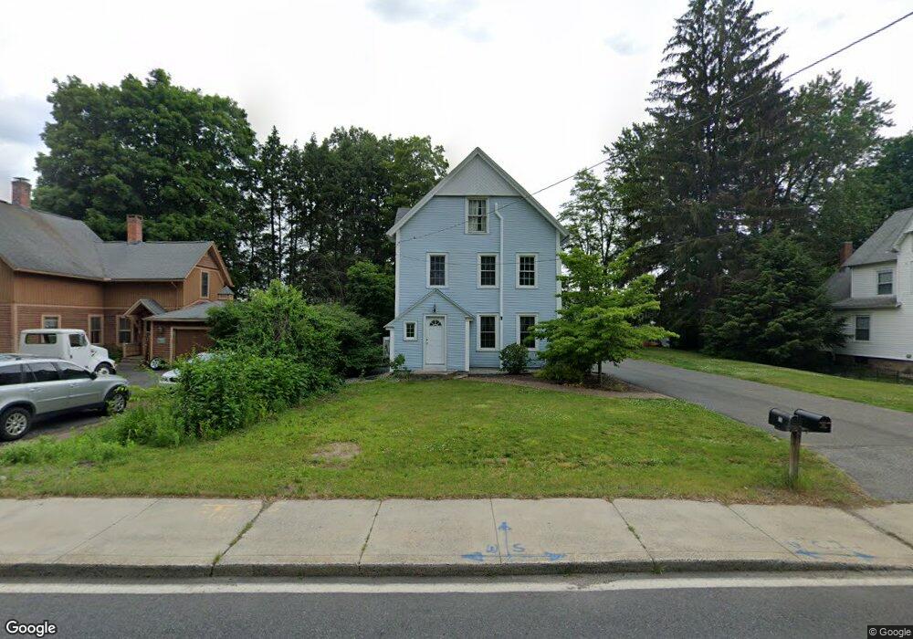
20 Maple St Wilbraham, MA 01095
Estimated Value: $321,456 - $410,000
3
Beds
2
Baths
1,990
Sq Ft
$181/Sq Ft
Est. Value
About This Home
This home is located at 20 Maple St, Wilbraham, MA 01095 and is currently estimated at $360,364, approximately $181 per square foot. 20 Maple St is a home located in Hampden County with nearby schools including Minnechaug Regional High School, St John The Baptist School, and Wilbraham & Monson Academy.
Ownership History
Date
Name
Owned For
Owner Type
Purchase Details
Closed on
Jun 27, 2024
Sold by
Trevallion Lance W
Bought by
Trevallion Erin F and Kellner Joseph C
Current Estimated Value
Purchase Details
Closed on
Dec 8, 1992
Sold by
Trevallion Lance W and Devens Therese D
Bought by
Trevallion Douglas M and Trevallion Martha
Home Financials for this Owner
Home Financials are based on the most recent Mortgage that was taken out on this home.
Original Mortgage
$112,625
Interest Rate
8.22%
Mortgage Type
Purchase Money Mortgage
Create a Home Valuation Report for This Property
The Home Valuation Report is an in-depth analysis detailing your home's value as well as a comparison with similar homes in the area
Home Values in the Area
Average Home Value in this Area
Purchase History
| Date | Buyer | Sale Price | Title Company |
|---|---|---|---|
| Trevallion Erin F | -- | None Available | |
| Trevallion Erin F | -- | None Available | |
| Trevallion Douglas M | $132,500 | -- | |
| Trevallion Douglas M | $132,500 | -- |
Source: Public Records
Mortgage History
| Date | Status | Borrower | Loan Amount |
|---|---|---|---|
| Previous Owner | Trevallion Douglas M | $150,000 | |
| Previous Owner | Trevallion Douglas M | $105,000 | |
| Previous Owner | Trevallion Douglas M | $112,625 |
Source: Public Records
Tax History
| Year | Tax Paid | Tax Assessment Tax Assessment Total Assessment is a certain percentage of the fair market value that is determined by local assessors to be the total taxable value of land and additions on the property. | Land | Improvement |
|---|---|---|---|---|
| 2025 | $4,577 | $256,000 | $89,800 | $166,200 |
| 2024 | $4,473 | $241,800 | $89,800 | $152,000 |
| 2023 | $5,229 | $252,800 | $89,800 | $163,000 |
| 2022 | $5,229 | $255,200 | $89,800 | $165,400 |
| 2021 | $4,640 | $202,100 | $84,800 | $117,300 |
| 2020 | $4,523 | $202,100 | $84,800 | $117,300 |
| 2019 | $4,406 | $202,100 | $84,800 | $117,300 |
| 2018 | $4,576 | $202,100 | $84,800 | $117,300 |
| 2017 | $4,446 | $202,100 | $84,800 | $117,300 |
| 2016 | $3,985 | $184,500 | $94,300 | $90,200 |
| 2015 | $3,852 | $184,500 | $94,300 | $90,200 |
Source: Public Records
Map
Nearby Homes
- 36 Maple St
- 16 Maple St
- 1 Aspen Dr
- 35 Lake Dr
- 4 Hillcrest Dr
- 3076 Boston Rd
- 104 High Pine Cir
- 37 Balsam Hill Rd
- 38 King Dr
- 44 Balsam Hill Rd
- 22 Balsam Hill Rd
- 46 Washington Rd
- Lot 88 Turning Leaf Equinox Pass
- 67 Hill Terrace
- 225 Maynard Rd
- 229 Miller St Unit F-13
- 229 Miller St Unit C-1
- 229 Miller St Unit G-3
- 474-480 Mountain Rd
- 20 Old Orchard Rd
Your Personal Tour Guide
Ask me questions while you tour the home.