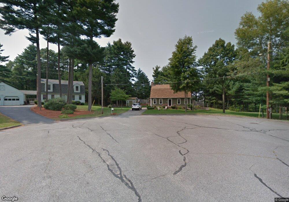
20 Marylyns Way Walpole, MA 02081
Estimated Value: $800,000 - $1,010,000
3
Beds
3
Baths
2,496
Sq Ft
$368/Sq Ft
Est. Value
About This Home
This home is located at 20 Marylyns Way, Walpole, MA 02081 and is currently estimated at $918,664, approximately $368 per square foot. 20 Marylyns Way is a home located in Norfolk County with nearby schools including Elm Street School, Eleanor N. Johnson Middle School, and Walpole High School.
Ownership History
Date
Name
Owned For
Owner Type
Purchase Details
Closed on
Sep 30, 1996
Sold by
Bubnys Dalia V and Bubnys Edward L
Bought by
Deery Hugh J
Current Estimated Value
Purchase Details
Closed on
Jul 14, 1992
Sold by
Coleman Joseph G and Coleman Catherine
Bought by
Bubnys Edward L and Bubnys Dalia
Create a Home Valuation Report for This Property
The Home Valuation Report is an in-depth analysis detailing your home's value as well as a comparison with similar homes in the area
Home Values in the Area
Average Home Value in this Area
Purchase History
| Date | Buyer | Sale Price | Title Company |
|---|---|---|---|
| Deery Hugh J | $173,000 | -- | |
| Bubnys Edward L | $167,000 | -- |
Source: Public Records
Mortgage History
| Date | Status | Borrower | Loan Amount |
|---|---|---|---|
| Open | Bubnys Edward L | $137,000 | |
| Closed | Bubnys Edward L | $137,650 |
Source: Public Records
Tax History Compared to Growth
Tax History
| Year | Tax Paid | Tax Assessment Tax Assessment Total Assessment is a certain percentage of the fair market value that is determined by local assessors to be the total taxable value of land and additions on the property. | Land | Improvement |
|---|---|---|---|---|
| 2025 | $9,977 | $777,600 | $324,700 | $452,900 |
| 2024 | $9,639 | $729,100 | $312,200 | $416,900 |
| 2023 | $9,176 | $660,600 | $271,500 | $389,100 |
| 2022 | $8,596 | $594,500 | $251,500 | $343,000 |
| 2021 | $8,447 | $569,200 | $237,200 | $332,000 |
| 2020 | $8,107 | $540,800 | $223,700 | $317,100 |
| 2019 | $7,035 | $465,900 | $215,200 | $250,700 |
| 2018 | $6,259 | $409,900 | $207,700 | $202,200 |
| 2017 | $6,080 | $396,600 | $199,800 | $196,800 |
| 2016 | $5,908 | $379,700 | $192,100 | $187,600 |
| 2015 | $5,735 | $365,300 | $183,100 | $182,200 |
| 2014 | $5,489 | $348,300 | $183,100 | $165,200 |
Source: Public Records
Map
Nearby Homes
- 1391 Main St Unit 304
- 1391 Main St Unit 208
- 1391 Main St Unit 305
- 1391 Main St Unit 308
- 1648 Main St
- 13 Sandtrap Cir Unit 14
- 11 Sandtrap Cir Unit 15
- 20 Sandtrap Cir Unit 4
- 18 Sandtrap Cir Unit 3
- 17 Sandtrap Cir Unit 12
- 15 Sandtrap Cir Unit 13
- 10 Sandtrap Cir Unit 2
- 31 Sandtrap Cir Unit 5
- 127 Clear Pond Dr
- 66 Oak St
- 137 Clear Pond Dr
- 16 Magpie Cir Unit 16
- 8 Autumn Ln
- 14 Tiger Terrace Unit 29
- 18 Teal Cir
- 16 Marylyns Way
- 19 Marylyns Way
- Lot 66 8 York Cir
- Lot 92 3 York Cir
- 999 Confidential Dr
- 999 Confidencial St
- Lot 3 & 4 Kevin's Way
- Lot 3 &4 Kevin's Way
- Lot 19 Boulder Trail
- Lot 17 Boulder Trail
- LT-118 Mill Brook Ave
- 6 S Lewis Park Dr
- Lot 1A Johnson Dr
- 61 Pollen Rd
- Lot 91 7 York Cir
- 12 Marylyns Way
- 15 Marylyns Way
- 8 Marylyns Way
- 11 Marylyns Way
- 1537 Main St