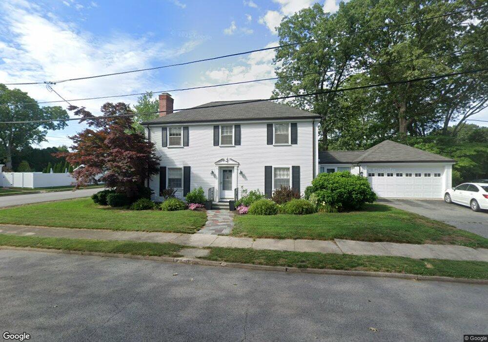
20 Massasoit Ave Pawtucket, RI 02861
Darlington NeighborhoodEstimated Value: $602,000 - $703,000
3
Beds
2
Baths
2,615
Sq Ft
$242/Sq Ft
Est. Value
About This Home
This home is located at 20 Massasoit Ave, Pawtucket, RI 02861 and is currently estimated at $631,529, approximately $241 per square foot. 20 Massasoit Ave is a home located in Providence County with nearby schools including St Cecilia School and Saint Teresa Catholic Elementary School.
Ownership History
Date
Name
Owned For
Owner Type
Purchase Details
Closed on
Feb 2, 1999
Sold by
Soule Edith B and Sharrett Edith
Bought by
Quinn David J and Quinn Mary
Current Estimated Value
Create a Home Valuation Report for This Property
The Home Valuation Report is an in-depth analysis detailing your home's value as well as a comparison with similar homes in the area
Home Values in the Area
Average Home Value in this Area
Purchase History
| Date | Buyer | Sale Price | Title Company |
|---|---|---|---|
| Quinn David J | $230,000 | -- |
Source: Public Records
Mortgage History
| Date | Status | Borrower | Loan Amount |
|---|---|---|---|
| Open | Quinn David J | $119,000 | |
| Closed | Quinn David J | $130,000 | |
| Closed | Quinn David J | $135,000 |
Source: Public Records
Tax History
| Year | Tax Paid | Tax Assessment Tax Assessment Total Assessment is a certain percentage of the fair market value that is determined by local assessors to be the total taxable value of land and additions on the property. | Land | Improvement |
|---|---|---|---|---|
| 2025 | $6,081 | $462,400 | $147,300 | $315,100 |
| 2024 | $5,706 | $462,400 | $147,300 | $315,100 |
| 2023 | $6,471 | $382,000 | $112,600 | $269,400 |
| 2022 | $6,334 | $382,000 | $112,600 | $269,400 |
| 2021 | $6,334 | $382,000 | $112,600 | $269,400 |
| 2020 | $6,305 | $301,800 | $105,600 | $196,200 |
| 2019 | $6,305 | $301,800 | $105,600 | $196,200 |
| 2018 | $6,075 | $301,800 | $105,600 | $196,200 |
| 2017 | $6,868 | $302,300 | $99,700 | $202,600 |
| 2016 | $6,617 | $302,300 | $99,700 | $202,600 |
| 2015 | $6,617 | $302,300 | $99,700 | $202,600 |
| 2014 | $6,837 | $296,500 | $87,200 | $209,300 |
Source: Public Records
Map
Nearby Homes
- 1150 Newman Ave
- 245 Manton St
- 64 Brookdale Blvd
- 242 Manton St
- 242 Manton #41 St
- 91 Seabiscuit Place
- 619 Armistice Blvd
- 128 Warwick Rd
- 57 Whirlaway Place
- 70 Whittier Rd
- 40 Camac St
- 400 Newport Ave
- 66 1st St
- 43 Warwick Rd
- 66 State St
- 127 Ricard St
- 38 Lowell Ave
- 3 Hutchinson Ave
- 40 Rosemere Rd
- 99 Roosevelt St
Your Personal Tour Guide
Ask me questions while you tour the home.