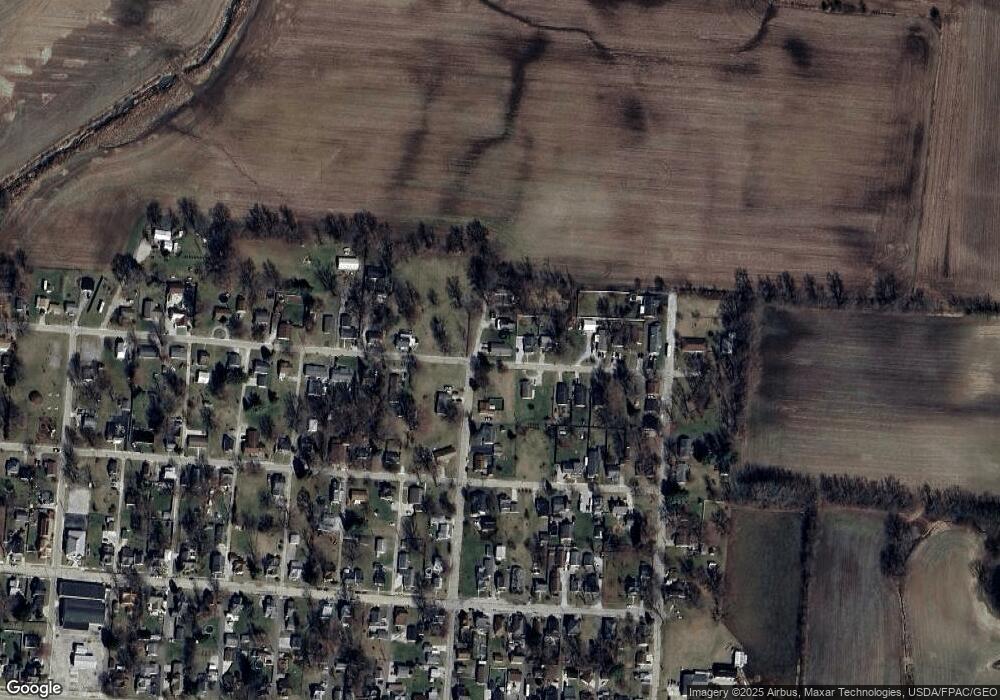
20 Maxon St Jamestown, OH 45335
Estimated Value: $188,000 - $218,046
3
Beds
2
Baths
1,260
Sq Ft
$165/Sq Ft
Est. Value
About This Home
This home is located at 20 Maxon St, Jamestown, OH 45335 and is currently estimated at $208,012, approximately $165 per square foot. 20 Maxon St is a home with nearby schools including Greeneview Elementary School, Greeneview Middle School, and Greeneview High School.
Ownership History
Date
Name
Owned For
Owner Type
Purchase Details
Closed on
Jun 3, 2019
Sold by
Sargent Dennis
Bought by
Sargent Dennis and The Cozetta V Sargent Irrevocable Trust
Current Estimated Value
Purchase Details
Closed on
Nov 7, 2018
Sold by
D L Sargent Llc
Bought by
Sargent Denny and Cozetta V Sargent Revocable Trust
Home Financials for this Owner
Home Financials are based on the most recent Mortgage that was taken out on this home.
Original Mortgage
$129,000
Outstanding Balance
$113,198
Interest Rate
4.7%
Mortgage Type
New Conventional
Estimated Equity
$94,814
Purchase Details
Closed on
May 20, 2016
Sold by
Dl Sargent Llc
Bought by
Hughes Dustin M
Purchase Details
Closed on
May 1, 2016
Sold by
Hughes Dustin M
Bought by
Dl Sargent Llc
Purchase Details
Closed on
Mar 21, 2016
Sold by
Hughes Dustin M
Bought by
D L Sargent Llc
Purchase Details
Closed on
Nov 4, 2013
Sold by
Sargent Denny
Bought by
Dl Sargent Llc
Purchase Details
Closed on
Sep 13, 2007
Sold by
Mbd Executive Holdings Llc
Bought by
Sargent Denny
Home Financials for this Owner
Home Financials are based on the most recent Mortgage that was taken out on this home.
Original Mortgage
$105,000
Interest Rate
6.71%
Mortgage Type
Construction
Purchase Details
Closed on
Oct 31, 2006
Sold by
Reed Rebecca J and Reed George H
Bought by
Mbd Executive Holdings Llc
Purchase Details
Closed on
Apr 22, 2004
Sold by
Reed Gordon L
Bought by
Reed George H and Reed Rebecca J
Purchase Details
Closed on
Sep 16, 2002
Sold by
Estate Of Eleanor V Reed
Bought by
Reed Gordon L
Create a Home Valuation Report for This Property
The Home Valuation Report is an in-depth analysis detailing your home's value as well as a comparison with similar homes in the area
Home Values in the Area
Average Home Value in this Area
Purchase History
| Date | Buyer | Sale Price | Title Company |
|---|---|---|---|
| Sargent Dennis | -- | None Available | |
| Sargent Denny | -- | None Available | |
| Hughes Dustin M | -- | None Available | |
| Dl Sargent Llc | -- | None Available | |
| D L Sargent Llc | -- | None Available | |
| Hughes Dustin M | -- | None Available | |
| Dl Sargent Llc | -- | None Available | |
| Sargent Denny | $20,000 | Attorney | |
| Mbd Executive Holdings Llc | $40,000 | None Available | |
| Reed George H | -- | -- | |
| Reed Gordon L | -- | -- |
Source: Public Records
Mortgage History
| Date | Status | Borrower | Loan Amount |
|---|---|---|---|
| Open | Sargent Denny | $129,000 | |
| Previous Owner | Sargent Denny | $105,000 |
Source: Public Records
Tax History Compared to Growth
Tax History
| Year | Tax Paid | Tax Assessment Tax Assessment Total Assessment is a certain percentage of the fair market value that is determined by local assessors to be the total taxable value of land and additions on the property. | Land | Improvement |
|---|---|---|---|---|
| 2024 | $2,266 | $57,880 | $3,050 | $54,830 |
| 2023 | $2,266 | $57,880 | $3,050 | $54,830 |
| 2022 | $1,841 | $42,020 | $3,050 | $38,970 |
| 2021 | $1,855 | $42,020 | $3,050 | $38,970 |
| 2020 | $1,444 | $42,020 | $3,050 | $38,970 |
| 2019 | $1,444 | $2,440 | $2,440 | $0 |
| 2018 | $134 | $2,440 | $2,440 | $0 |
| 2017 | $131 | $2,440 | $2,440 | $0 |
| 2016 | $123 | $2,290 | $2,290 | $0 |
| 2015 | $121 | $2,290 | $2,290 | $0 |
| 2014 | $114 | $2,290 | $2,290 | $0 |
Source: Public Records
Map
Nearby Homes
- 8 N Sycamore St
- 21 E Xenia St
- 8 S Sycamore St
- 23 Verity St
- 280 S Charleston Rd
- 0 Adams St Unit 943175
- 24 S Limestone St
- 4 Verity St
- 26 S Limestone St
- 21 S Buckles Ave
- 10 Maplewood Dr
- 0 Brickel Rd Unit 1850484
- 14 Brookside St
- 6345 Old Us Route 35 E
- 0 Apache Trail Unit 941961
- 204 Ivy Creek Cove
- 621 Quarry Rd
- 643 Brickel Rd
- 12.139ac Cherry Grove Rd
- 4533 Navajo Trail
