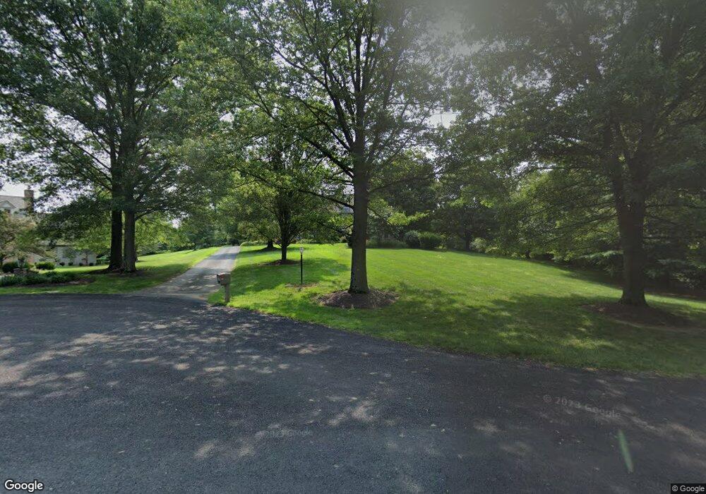
20 Mcmullan Farm Ln West Chester, PA 19382
Estimated Value: $1,084,000 - $1,450,000
5
Beds
5
Baths
5,660
Sq Ft
$231/Sq Ft
Est. Value
About This Home
This home is located at 20 Mcmullan Farm Ln, West Chester, PA 19382 and is currently estimated at $1,308,388, approximately $231 per square foot. 20 Mcmullan Farm Ln is a home located in Chester County with nearby schools including Hillendale Elementary School, Charles F. Patton Middle School, and Unionville High School.
Ownership History
Date
Name
Owned For
Owner Type
Purchase Details
Closed on
Aug 19, 1998
Sold by
Debrunier Bernard and Debrunier Grace
Bought by
Barron Patrick I and Barron Eleanor V
Current Estimated Value
Purchase Details
Closed on
Aug 9, 1994
Sold by
Megill Wayne C
Bought by
Debrunier Bernard and Debrunier Grace
Home Financials for this Owner
Home Financials are based on the most recent Mortgage that was taken out on this home.
Original Mortgage
$375,000
Interest Rate
5.37%
Create a Home Valuation Report for This Property
The Home Valuation Report is an in-depth analysis detailing your home's value as well as a comparison with similar homes in the area
Home Values in the Area
Average Home Value in this Area
Purchase History
| Date | Buyer | Sale Price | Title Company |
|---|---|---|---|
| Barron Patrick I | $615,000 | Commonwealth Land Title | |
| Debrunier Bernard | $528,000 | -- |
Source: Public Records
Mortgage History
| Date | Status | Borrower | Loan Amount |
|---|---|---|---|
| Previous Owner | Debrunier Bernard | $375,000 |
Source: Public Records
Tax History Compared to Growth
Tax History
| Year | Tax Paid | Tax Assessment Tax Assessment Total Assessment is a certain percentage of the fair market value that is determined by local assessors to be the total taxable value of land and additions on the property. | Land | Improvement |
|---|---|---|---|---|
| 2025 | $14,227 | $374,490 | $111,690 | $262,800 |
| 2024 | $14,227 | $374,490 | $111,690 | $262,800 |
| 2023 | $13,770 | $374,490 | $111,690 | $262,800 |
| 2022 | $13,482 | $374,490 | $111,690 | $262,800 |
| 2021 | $13,149 | $374,490 | $111,690 | $262,800 |
| 2020 | $13,114 | $374,490 | $111,690 | $262,800 |
| 2019 | $12,871 | $374,490 | $111,690 | $262,800 |
| 2018 | $14,969 | $436,800 | $111,690 | $325,110 |
| 2017 | $14,654 | $436,800 | $111,690 | $325,110 |
| 2016 | $2,354 | $436,800 | $111,690 | $325,110 |
| 2015 | $2,354 | $436,800 | $111,690 | $325,110 |
| 2014 | $2,354 | $436,800 | $111,690 | $325,110 |
Source: Public Records
Map
Nearby Homes
- 2005 W Street Rd
- 7 Evergreen Ct
- 1702 W Street Rd
- 2 Bittersweet Dr
- 523 Radek Ct
- 7 Bittersweet Dr
- 501 Orchard Ln
- 14 Sloan Rd
- 506 Willow Glen Rd
- 734 Denton Hollow Rd
- 4 Sloan Rd
- 700 Patrick Henry Cir
- 4 W Pennsbury Way
- 519 Baltimore Pike
- 1601 Brintons Bridge Rd
- 1758 Lenni Dr
- 1105 & 1107 Meetinghouse Rd
- 1740 Lenape Rd
- 1559 Washington Ln
- 1501 Washington Ln
- 24 Mcmullan Farm Ln
- 16 Mcmullan Farm Ln
- 23 Mcmullan Farm Ln
- 21 Mcmullan Farm Ln
- 19 Mcmullan Farm Ln
- 12 Mcmullan Farm Ln
- 15 Mcmullan Farm Ln
- 17 Mcmullan Farm Ln
- 9 Misty Meadow Dr
- 13 Mcmullan Farm Ln
- 11 Mcmullan Farm Ln
- 10 Misty Meadow Dr
- 8 Mcmullan Farm Ln
- 9 Mcmullan Farm Ln
- 7 Misty Meadow Dr
- 1601 Pocopson Rd
- 4 Mcmullan Farm Ln
- 7 Mcmullan Farm Ln
- 8 Misty Meadow Dr
- 4 Misty Meadow Dr