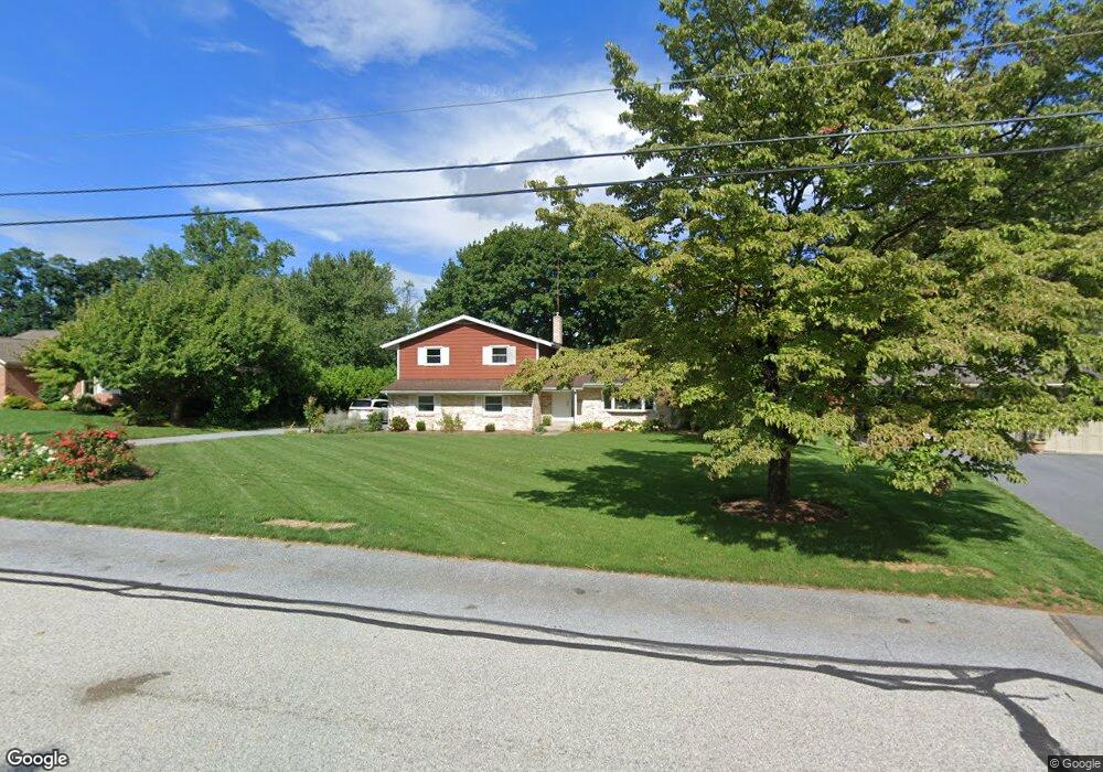
20 Meadow Ln Smoketown, PA 17576
Fertility NeighborhoodEstimated Value: $336,000 - $475,000
3
Beds
3
Baths
1,564
Sq Ft
$262/Sq Ft
Est. Value
About This Home
This home is located at 20 Meadow Ln, Smoketown, PA 17576 and is currently estimated at $410,399, approximately $262 per square foot. 20 Meadow Ln is a home located in Lancaster County with nearby schools including Smoketown Elementary School, Gerald G. Huesken Middle School, and Conestoga Valley High School.
Ownership History
Date
Name
Owned For
Owner Type
Purchase Details
Closed on
Oct 30, 2014
Sold by
Glick David B and Glick Susan Anne
Bought by
King Benuel S and King Melinda B
Current Estimated Value
Home Financials for this Owner
Home Financials are based on the most recent Mortgage that was taken out on this home.
Original Mortgage
$180,800
Outstanding Balance
$134,565
Interest Rate
3.25%
Mortgage Type
Adjustable Rate Mortgage/ARM
Estimated Equity
$275,834
Create a Home Valuation Report for This Property
The Home Valuation Report is an in-depth analysis detailing your home's value as well as a comparison with similar homes in the area
Home Values in the Area
Average Home Value in this Area
Purchase History
| Date | Buyer | Sale Price | Title Company |
|---|---|---|---|
| King Benuel S | $226,000 | None Available |
Source: Public Records
Mortgage History
| Date | Status | Borrower | Loan Amount |
|---|---|---|---|
| Open | King Benuel S | $180,800 |
Source: Public Records
Tax History Compared to Growth
Tax History
| Year | Tax Paid | Tax Assessment Tax Assessment Total Assessment is a certain percentage of the fair market value that is determined by local assessors to be the total taxable value of land and additions on the property. | Land | Improvement |
|---|---|---|---|---|
| 2025 | $3,948 | $195,000 | $57,300 | $137,700 |
| 2024 | $3,948 | $195,000 | $57,300 | $137,700 |
| 2023 | $3,857 | $195,000 | $57,300 | $137,700 |
| 2022 | $3,761 | $195,000 | $57,300 | $137,700 |
| 2021 | $3,628 | $195,000 | $57,300 | $137,700 |
| 2020 | $3,628 | $195,000 | $57,300 | $137,700 |
| 2019 | $3,550 | $195,000 | $57,300 | $137,700 |
| 2018 | $5,224 | $195,000 | $57,300 | $137,700 |
| 2017 | $4,061 | $187,600 | $53,500 | $134,100 |
| 2016 | $4,013 | $187,600 | $53,500 | $134,100 |
| 2015 | $1,025 | $187,600 | $53,500 | $134,100 |
| 2014 | $2,687 | $187,600 | $53,500 | $134,100 |
Source: Public Records
Map
Nearby Homes
- 2506 Old Philadelphia Pike
- 2596 Old Philadelphia Pike
- 323 Enterprise Dr
- 2439 Ellendale Dr
- 2453 Lincoln Hwy E
- 2315 Old Philadelphia Pike
- 103 Fairhill Dr
- 2328 Rockvale Rd
- 455 Garland Cir
- 71 Black Oak Dr Unit 71
- 502 Country Meadows Dr
- 25 Homestead Dr
- 166 Huntingwood Dr
- 248 Wolgemuth Dr
- 822 Gail Place
- 92 Glendale Dr
- 464 Eastwood Ln
- 466 Eastwood Ln
- 3099 Irishtown Rd
- 403 Eastwood Ln