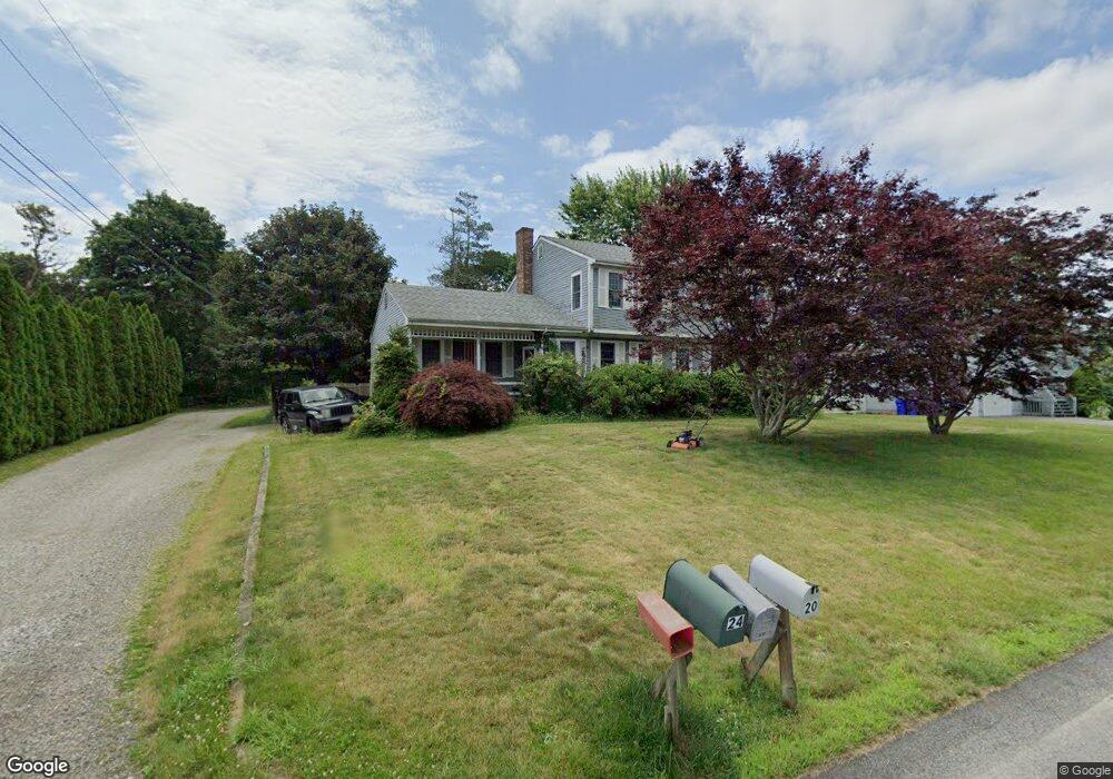
20 Michael Dr Bristol, RI 02809
Northeast Bristol NeighborhoodEstimated Value: $675,279 - $790,000
4
Beds
3
Baths
2,340
Sq Ft
$324/Sq Ft
Est. Value
About This Home
This home is located at 20 Michael Dr, Bristol, RI 02809 and is currently estimated at $757,570, approximately $323 per square foot. 20 Michael Dr is a home located in Bristol County with nearby schools including Mt. Hope High School, Highlander Charter Middle and High School, and East Bay Career Academy.
Create a Home Valuation Report for This Property
The Home Valuation Report is an in-depth analysis detailing your home's value as well as a comparison with similar homes in the area
Home Values in the Area
Average Home Value in this Area
Tax History
| Year | Tax Paid | Tax Assessment Tax Assessment Total Assessment is a certain percentage of the fair market value that is determined by local assessors to be the total taxable value of land and additions on the property. | Land | Improvement |
|---|---|---|---|---|
| 2025 | $5,224 | $378,000 | $157,000 | $221,000 |
| 2024 | $5,224 | $378,000 | $157,000 | $221,000 |
| 2023 | $5,050 | $378,000 | $157,000 | $221,000 |
| 2022 | $4,914 | $378,000 | $157,000 | $221,000 |
| 2021 | $5,403 | $375,700 | $159,500 | $216,200 |
| 2020 | $5,286 | $375,700 | $159,500 | $216,200 |
| 2019 | $5,155 | $375,700 | $159,500 | $216,200 |
| 2018 | $5,500 | $357,600 | $145,900 | $211,700 |
| 2017 | $4,655 | $312,000 | $129,100 | $182,900 |
| 2016 | $4,608 | $312,000 | $129,100 | $182,900 |
| 2015 | $4,377 | $312,000 | $129,100 | $182,900 |
| 2014 | $4,631 | $354,630 | $158,000 | $196,630 |
Source: Public Records
Map
Nearby Homes
- 677 Metacom Ave Unit 64
- 5 Saint Theresa Ave
- 669 Metacom Ave Unit 25
- 7 Hawthorne Ave
- 0 Overhill Lot 1 Rd Unit 1405163
- 22 Harrison St
- 1270 Hope St
- 3 Knowlton Ct
- 7 Knowlton Ct
- 5 Knowlton Ct
- 1382 Hope St
- 4 Read Ave
- 506 Clarks Row
- 556 Metacom Ave
- 30 Sowams Dr
- 1 Knowlton Ct
- 1220 Hope St
- 461 North Ln
- 417 North Ln
- 596 Metacom Ave
Your Personal Tour Guide
Ask me questions while you tour the home.