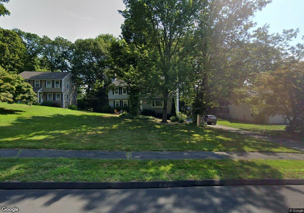
20 Michael Dr Farmington, CT 06032
Estimated Value: $610,860 - $686,000
4
Beds
3
Baths
2,359
Sq Ft
$281/Sq Ft
Est. Value
About This Home
This home is located at 20 Michael Dr, Farmington, CT 06032 and is currently estimated at $661,965, approximately $280 per square foot. 20 Michael Dr is a home located in Hartford County with nearby schools including Union School, West Woods Upper Elementary School, and Irving A. Robbins Middle School.
Ownership History
Date
Name
Owned For
Owner Type
Purchase Details
Closed on
Mar 20, 2020
Sold by
Smith Randall J
Bought by
Smith Jessica N
Current Estimated Value
Home Financials for this Owner
Home Financials are based on the most recent Mortgage that was taken out on this home.
Original Mortgage
$254,600
Outstanding Balance
$224,070
Interest Rate
3.4%
Mortgage Type
New Conventional
Estimated Equity
$437,895
Purchase Details
Closed on
Apr 30, 2010
Sold by
Forgit Donald and Forgit Barbara
Bought by
Smith Randal J and Noddin Jessica L
Home Financials for this Owner
Home Financials are based on the most recent Mortgage that was taken out on this home.
Original Mortgage
$305,000
Interest Rate
5.24%
Mortgage Type
Purchase Money Mortgage
Create a Home Valuation Report for This Property
The Home Valuation Report is an in-depth analysis detailing your home's value as well as a comparison with similar homes in the area
Home Values in the Area
Average Home Value in this Area
Purchase History
| Date | Buyer | Sale Price | Title Company |
|---|---|---|---|
| Smith Jessica N | -- | None Available | |
| Smith Randal J | $384,000 | -- |
Source: Public Records
Mortgage History
| Date | Status | Borrower | Loan Amount |
|---|---|---|---|
| Open | Smith Jessica N | $254,600 | |
| Previous Owner | Smith Randal J | $305,000 | |
| Previous Owner | Smith Randal J | $75,000 | |
| Previous Owner | Smith Randal J | $78,000 | |
| Previous Owner | Smith Randal J | $10,000 |
Source: Public Records
Tax History Compared to Growth
Tax History
| Year | Tax Paid | Tax Assessment Tax Assessment Total Assessment is a certain percentage of the fair market value that is determined by local assessors to be the total taxable value of land and additions on the property. | Land | Improvement |
|---|---|---|---|---|
| 2025 | $8,620 | $323,820 | $96,390 | $227,430 |
| 2024 | $8,241 | $323,820 | $96,390 | $227,430 |
| 2023 | $7,840 | $323,820 | $96,390 | $227,430 |
| 2022 | $7,199 | $245,530 | $77,130 | $168,400 |
| 2021 | $7,074 | $245,530 | $77,130 | $168,400 |
| 2020 | $6,867 | $245,530 | $77,130 | $168,400 |
| 2019 | $6,867 | $245,530 | $77,130 | $168,400 |
| 2018 | $6,674 | $245,530 | $77,130 | $168,400 |
| 2017 | $6,319 | $236,840 | $98,000 | $138,840 |
| 2016 | $6,106 | $236,840 | $98,000 | $138,840 |
| 2015 | $5,923 | $236,840 | $98,000 | $138,840 |
| 2014 | $5,788 | $236,840 | $98,000 | $138,840 |
Source: Public Records
Map
Nearby Homes
- 14 Springwood Rd
- 54 Pinewood Dr
- 49 Northwoods Rd
- 20 Briarwood Rd
- 50 Northwoods Rd
- 1622 Farmington Ave Unit 4
- 267 New Britain Ave
- 243 New Britain Ave Unit 243
- 115 W Avon Rd
- 54 Westview Terrace
- 16 Greenbriar Dr Unit A
- 18 Greenbriar Dr Unit A
- 3 Heritage Dr
- 2 Muirfield Ln
- 26 Sunrise Dr
- 22 Heritage Dr Unit 22
- 24 Worthington Dr
- 3 Essex Ct
- 27 Westview Terrace
- 55 Depot Place