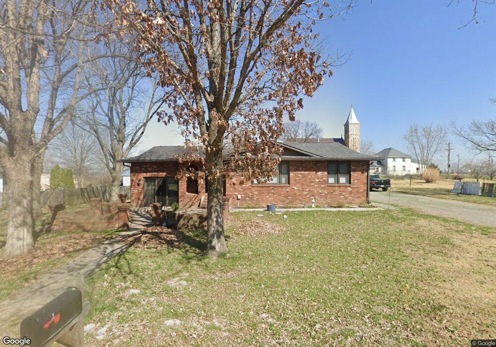
20 Middlebranch Benton, MO 63736
Estimated Value: $150,804 - $266,000
Studio
--
Bath
1,316
Sq Ft
$165/Sq Ft
Est. Value
About This Home
This home is located at 20 Middlebranch, Benton, MO 63736 and is currently estimated at $217,451, approximately $165 per square foot. 20 Middlebranch is a home with nearby schools including Kelso Elementary School.
Ownership History
Date
Name
Owned For
Owner Type
Purchase Details
Closed on
Jan 11, 2022
Sold by
Kern Kendall Robert and Kern Taylor
Bought by
Crook Christopher P and Farrow Sarah E
Current Estimated Value
Home Financials for this Owner
Home Financials are based on the most recent Mortgage that was taken out on this home.
Original Mortgage
$185,250
Outstanding Balance
$170,753
Interest Rate
3.12%
Mortgage Type
New Conventional
Estimated Equity
$46,698
Purchase Details
Closed on
May 18, 2018
Sold by
Kern David Wayne and Burger Nicholas Gerard
Bought by
Kern Kendall Robert
Create a Home Valuation Report for This Property
The Home Valuation Report is an in-depth analysis detailing your home's value as well as a comparison with similar homes in the area
Purchase History
| Date | Buyer | Sale Price | Title Company |
|---|---|---|---|
| Crook Christopher P | -- | United Land Title Llc | |
| Kern Kendall Robert | -- | None Available |
Source: Public Records
Mortgage History
| Date | Status | Borrower | Loan Amount |
|---|---|---|---|
| Open | Crook Christopher P | $185,250 |
Source: Public Records
Tax History
| Year | Tax Paid | Tax Assessment Tax Assessment Total Assessment is a certain percentage of the fair market value that is determined by local assessors to be the total taxable value of land and additions on the property. | Land | Improvement |
|---|---|---|---|---|
| 2025 | $563 | $13,160 | $0 | $0 |
| 2024 | $6 | $11,750 | $0 | $0 |
| 2023 | $562 | $11,750 | $0 | $0 |
| 2022 | $543 | $11,290 | $0 | $0 |
| 2021 | $558 | $11,290 | $0 | $0 |
| 2020 | $421 | $10,820 | $0 | $0 |
| 2019 | -- | $10,820 | $0 | $0 |
| 2018 | -- | $10,580 | $0 | $0 |
| 2017 | -- | $10,580 | $0 | $0 |
| 2014 | -- | $10,270 | $0 | $0 |
| 2011 | -- | $10,280 | $0 | $0 |
Source: Public Records
Map
Nearby Homes
- 1064 State Highway A
- 111 County Road 234
- 184 Country View Dr
- 106 Alexis Ln
- 22 N New Madrid St
- 121 E Missouri St
- 26655 US Highway 61
- 331 Chester St
- 430 Bertha E Dumey Dr
- 420 Bertha E Dumey Dr
- 435 Bertha E Dumey Dr
- 425 Bertha E Dumey Dr
- 225 Ervin L Dumey Dr
- 320 Bertha E Dumey Dr
- 330 Bertha E Dumey Dr
- 325 Bertha E Dumey Dr
- 340 Bertha E Dumey Dr
- 335 Bertha E Dumey Dr
- 111 County Highway 250
- 112 Park Rd
- 79 County Highway 234
- 629 County Highway 241
- 32 Middlebranch
- 7 County Highway 234
- 19 Middlebranch
- 31 Middlebranch
- 579 County Highway 241
- 613 County Highway 241
- 626 County Highway 241
- 607 County Highway 241
- 618 County Highway 241
- 5 Kern
- 6 Kern
- 21 Kern
- 50 Kern
- 961 State Highway A
- 127 County Highway 234
- 23 Kern
- 40 Kern
- 570 County Highway 241
Your Personal Tour Guide
Ask me questions while you tour the home.