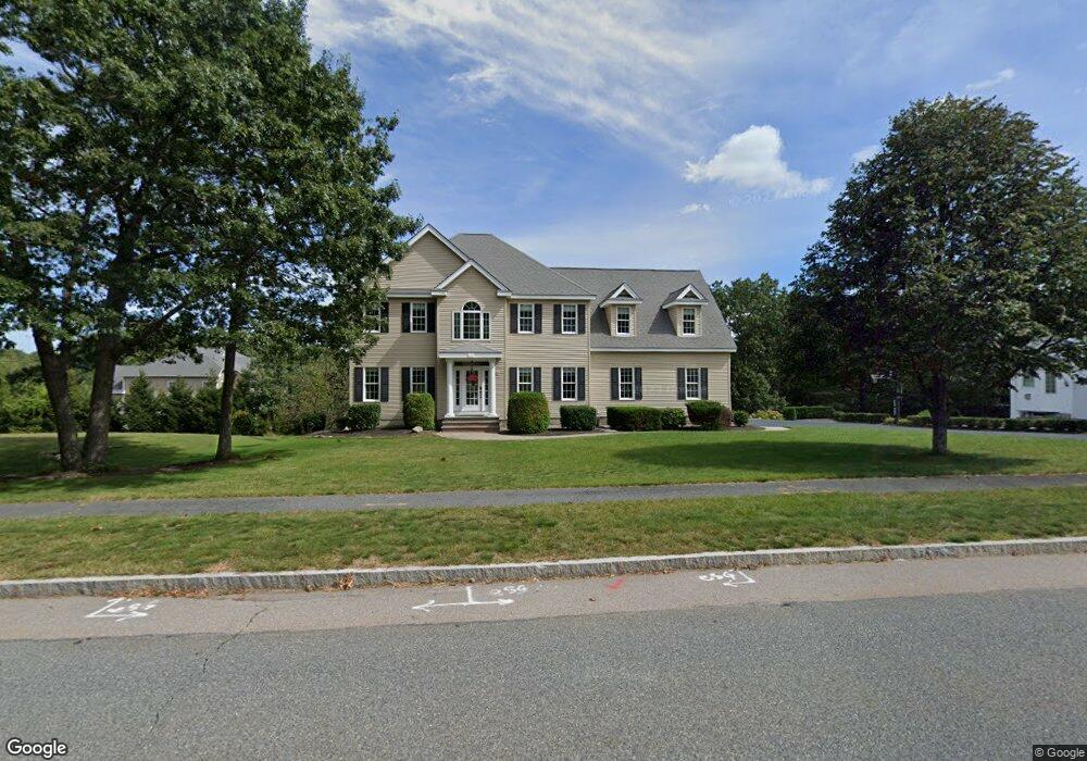
20 Mohawk Path Holliston, MA 01746
Estimated Value: $960,405 - $1,282,000
4
Beds
3
Baths
3,078
Sq Ft
$373/Sq Ft
Est. Value
About This Home
This home is located at 20 Mohawk Path, Holliston, MA 01746 and is currently estimated at $1,149,101, approximately $373 per square foot. 20 Mohawk Path is a home located in Middlesex County with nearby schools including Placentino Elementary School, Miller Elementary School, and Robert H. Adams Middle School.
Ownership History
Date
Name
Owned For
Owner Type
Purchase Details
Closed on
Oct 5, 2022
Sold by
Delponte Tracy A
Bought by
Mcdonald Delponte Ft and Mcdonald-Delponte
Current Estimated Value
Purchase Details
Closed on
Apr 29, 2016
Sold by
Delponte Robert M and Delponte Tracy A
Bought by
Mcdonald-Delponte Tracy A
Purchase Details
Closed on
Nov 17, 2005
Sold by
Highlands At Hollisto
Bought by
Delponte Robert M and Delponte Tracy A
Home Financials for this Owner
Home Financials are based on the most recent Mortgage that was taken out on this home.
Original Mortgage
$470,000
Interest Rate
6.07%
Mortgage Type
Purchase Money Mortgage
Create a Home Valuation Report for This Property
The Home Valuation Report is an in-depth analysis detailing your home's value as well as a comparison with similar homes in the area
Home Values in the Area
Average Home Value in this Area
Purchase History
| Date | Buyer | Sale Price | Title Company |
|---|---|---|---|
| Mcdonald Delponte Ft | -- | None Available | |
| Mcdonald Delponte Ft | -- | None Available | |
| Mcdonald-Delponte Tracy A | -- | -- | |
| Mcdonald-Delponte Tracy A | -- | -- | |
| Delponte Robert M | $657,975 | -- | |
| Delponte Robert M | $657,975 | -- |
Source: Public Records
Mortgage History
| Date | Status | Borrower | Loan Amount |
|---|---|---|---|
| Previous Owner | Delponte Robert M | $453,000 | |
| Previous Owner | Delponte Robert M | $470,000 |
Source: Public Records
Tax History
| Year | Tax Paid | Tax Assessment Tax Assessment Total Assessment is a certain percentage of the fair market value that is determined by local assessors to be the total taxable value of land and additions on the property. | Land | Improvement |
|---|---|---|---|---|
| 2025 | $12,255 | $836,500 | $272,500 | $564,000 |
| 2024 | $12,134 | $805,700 | $272,500 | $533,200 |
| 2023 | $11,764 | $763,900 | $272,500 | $491,400 |
| 2022 | $11,250 | $647,300 | $272,500 | $374,800 |
| 2021 | $11,287 | $632,300 | $257,500 | $374,800 |
| 2020 | $11,434 | $606,600 | $252,800 | $353,800 |
| 2019 | $11,268 | $598,400 | $245,200 | $353,200 |
| 2018 | $11,172 | $598,400 | $245,200 | $353,200 |
| 2017 | $11,077 | $598,100 | $257,900 | $340,200 |
| 2016 | $10,919 | $581,100 | $240,900 | $340,200 |
| 2015 | $10,432 | $538,300 | $193,800 | $344,500 |
Source: Public Records
Map
Nearby Homes
- 59 Brooksmont Dr Unit 59
- 3 Danforth Dr
- 1 Danforth Dr
- 241 Trailside Way
- 306 Trailside Way
- 147 Turner Rd Unit 80
- 62 Ashland St
- 1 Adams Ln Unit 1
- 9 Adams Ln Unit 9
- 26 Meeting House Path Unit 26
- 269 Concord St
- 363 Eliot St
- 74 Meeting House Path
- 2 Adams Rd Unit 2
- 9 Mountain Gate Rd
- 207 Eliot St
- 2 Arrowhead Cir Unit 2
- 45 Half Crown Cir
- 160 Winter St
- 102 Captain Eames Cir
- 24 Mohawk Path
- 5 Governor Prence Way
- 23 Mohawk Path
- 17 Mohawk Path
- 25 Govenor Prence Unit lot 25
- 9 Governor Prence Way
- 27 Mohawk Path
- 116 Governor Prence Way Unit lot 116
- 28 Mohawk Path
- 11 Mohawk Path
- 30 Mohawk Path
- 31 Mohawk Path
- 32 Mohawk Path
- 5 Mohawk Path
- 15 Governor Prence Way Unit Lot 28
- 0 Mohawk Path Unit Lot 108 70786182
- 0 Mohawk Path Unit Lot 107 70786640
- 0 Mohawk Path Unit Lot 112B
- 0 Mohawk Path Unit Lot 112
- 14 Governor Prence Way
Your Personal Tour Guide
Ask me questions while you tour the home.