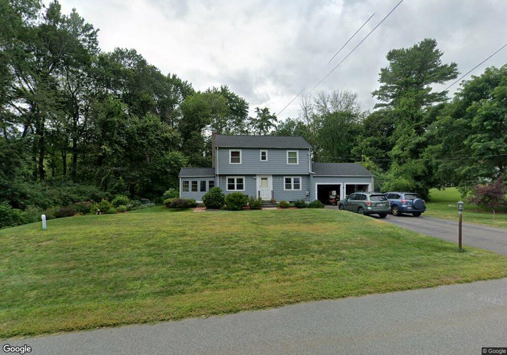
20 Morningside Ln Lincoln, MA 01773
Estimated Value: $1,164,804 - $1,422,000
3
Beds
2
Baths
2,700
Sq Ft
$477/Sq Ft
Est. Value
About This Home
This home is located at 20 Morningside Ln, Lincoln, MA 01773 and is currently estimated at $1,286,951, approximately $476 per square foot. 20 Morningside Ln is a home located in Middlesex County with nearby schools including Lincoln-Sudbury Regional High School, Tremont School, and Concord Academy.
Ownership History
Date
Name
Owned For
Owner Type
Purchase Details
Closed on
Nov 18, 2022
Sold by
Kim Yang J and Kim Jane J
Bought by
20 Morningside Lane Rt
Current Estimated Value
Purchase Details
Closed on
Aug 25, 1993
Sold by
Silverstein Fred P and Silverstein Mary J
Bought by
Kim Yang J and Kim Jane J
Home Financials for this Owner
Home Financials are based on the most recent Mortgage that was taken out on this home.
Original Mortgage
$160,000
Interest Rate
7.06%
Mortgage Type
Purchase Money Mortgage
Create a Home Valuation Report for This Property
The Home Valuation Report is an in-depth analysis detailing your home's value as well as a comparison with similar homes in the area
Home Values in the Area
Average Home Value in this Area
Purchase History
| Date | Buyer | Sale Price | Title Company |
|---|---|---|---|
| 20 Morningside Lane Rt | -- | None Available | |
| Kim Yang J | $270,000 | -- |
Source: Public Records
Mortgage History
| Date | Status | Borrower | Loan Amount |
|---|---|---|---|
| Previous Owner | Kim Yang J | $160,000 |
Source: Public Records
Tax History Compared to Growth
Tax History
| Year | Tax Paid | Tax Assessment Tax Assessment Total Assessment is a certain percentage of the fair market value that is determined by local assessors to be the total taxable value of land and additions on the property. | Land | Improvement |
|---|---|---|---|---|
| 2025 | $122 | $954,800 | $661,700 | $293,100 |
| 2024 | $12,090 | $937,900 | $648,700 | $289,200 |
| 2023 | $12,316 | $884,800 | $597,500 | $287,300 |
| 2022 | $11,945 | $800,100 | $540,100 | $260,000 |
| 2021 | $6,519 | $722,300 | $478,000 | $244,300 |
| 2020 | $11,064 | $720,300 | $478,000 | $242,300 |
| 2019 | $6,482 | $693,500 | $463,000 | $230,500 |
| 2018 | $9,432 | $693,500 | $463,000 | $230,500 |
| 2017 | $15,002 | $661,600 | $437,000 | $224,600 |
| 2016 | $9,018 | $644,600 | $424,000 | $220,600 |
| 2015 | $8,650 | $611,300 | $392,600 | $218,700 |
| 2014 | $8,021 | $556,600 | $351,700 | $204,900 |
Source: Public Records
Map
Nearby Homes
- 29 S Commons Unit D
- 5 South Commons Unit D
- 36 Indian Camp Ln Unit D
- 16 Old Cambridge Turnpike
- 22 Old Cambridge Turnpike
- 241 Shadyside Ave
- 646 Cambridge Turnpike
- 9 Garland Rd
- 10 Reiling Pond Rd
- 84 Davison Dr
- 69 Page Rd
- 22 Lincoln Rd
- 60 Baker Bridge Rd
- 16 Hatch Farm Ln
- 8 Stratford Way
- 10 Hatch Farm Ln
- 28 Hatch Farm Ln
- 44 Baker Bridge Rd
- 96 Independence Rd
- 644 Old Bedford Rd
- 23 Morningside Ln
- 26 Morningside Ln
- 26 Morningside Ln Unit 1
- 14 Morningside Ln
- 17 Morningside Ln
- 25 Morningside Ln
- 19 Morningside Ln
- 30 Morningside Ln
- 30 Morningside Ln
- 15 Morningside Ln
- 27 Morningside Ln
- 12 Morningside Ln
- 34 Morningside Ln
- 31 Morningside Ln
- 10 Bedford Ln
- 10 Morningside Ln
- 8 Brooks Hill Rd
- 6 Brooks Hill Rd
- 2 Sunnyside Ln
- 8 Bedford Ln