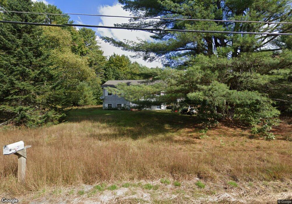
20 Morse Rd New Gloucester, ME 04260
Estimated Value: $291,751 - $352,000
3
Beds
1
Bath
864
Sq Ft
$374/Sq Ft
Est. Value
About This Home
This home is located at 20 Morse Rd, New Gloucester, ME 04260 and is currently estimated at $322,938, approximately $373 per square foot. 20 Morse Rd is a home located in Cumberland County with nearby schools including Gray-New Gloucester High School and Fiddlehead School of Arts & Science.
Ownership History
Date
Name
Owned For
Owner Type
Purchase Details
Closed on
Nov 3, 2005
Sold by
Hoffman Lelia M
Bought by
Kelly Johannes
Current Estimated Value
Home Financials for this Owner
Home Financials are based on the most recent Mortgage that was taken out on this home.
Original Mortgage
$132,000
Interest Rate
6%
Mortgage Type
Adjustable Rate Mortgage/ARM
Create a Home Valuation Report for This Property
The Home Valuation Report is an in-depth analysis detailing your home's value as well as a comparison with similar homes in the area
Home Values in the Area
Average Home Value in this Area
Purchase History
| Date | Buyer | Sale Price | Title Company |
|---|---|---|---|
| Kelly Johannes | -- | -- |
Source: Public Records
Mortgage History
| Date | Status | Borrower | Loan Amount |
|---|---|---|---|
| Closed | Kelly Johannes | $132,000 | |
| Closed | Kelly Johannes | $33,000 |
Source: Public Records
Tax History
| Year | Tax Paid | Tax Assessment Tax Assessment Total Assessment is a certain percentage of the fair market value that is determined by local assessors to be the total taxable value of land and additions on the property. | Land | Improvement |
|---|---|---|---|---|
| 2025 | $2,054 | $132,790 | $59,690 | $73,100 |
| 2024 | $1,977 | $132,790 | $59,690 | $73,100 |
| 2023 | $1,898 | $132,790 | $59,690 | $73,100 |
| 2022 | $1,833 | $132,790 | $59,690 | $73,100 |
| 2021 | $1,833 | $132,790 | $59,690 | $73,100 |
| 2020 | $1,813 | $132,790 | $59,690 | $73,100 |
| 2019 | $1,998 | $118,200 | $57,500 | $60,700 |
| 2018 | $1,552 | $118,200 | $57,500 | $60,700 |
| 2017 | $0 | $118,200 | $57,500 | $60,700 |
| 2016 | $1,738 | $118,200 | $57,500 | $60,700 |
| 2015 | $1,732 | $118,200 | $57,500 | $60,700 |
| 2014 | $1,714 | $118,200 | $57,500 | $60,700 |
| 2013 | $1,590 | $118,200 | $57,500 | $60,700 |
Source: Public Records
Map
Nearby Homes
- 86 Skips Way
- 3 First Mill Dr
- 0 Mayall
- Lot 21-29 Weymouth Rd
- 110 Bennett Rd
- 2 Ethan Way
- TBD Targett Rd
- 65 Blueberry Ln
- 26 Hemlock Ln
- 155 & 151 Gloucester Hill Rd
- 27 Bull Run
- 72 Shaw Brook Ln
- 17 Callaway Dr Unit 17
- 42 Wild Acres Rd
- 224 Shaker Rd
- 52 Colley Hill Rd
- 0 Colley Hill Rd
- 22 Gray Park
- 25 Yarmouth Rd
- 4 Chelsey Ln
- 14 Morse Rd
- 3 Morse Rd
- 12 Clearbrook Trail
- 73 Lewiston Rd
- 35 Morse Rd
- 0 Morse Rd Lot #2
- 0 Morse Rd Lot #3
- TBD Lewiston Rd Unit LOT B
- TBD Lewiston Rd
- 89 Lewiston Rd
- 85 Lewiston Rd
- 72 Lewiston Rd
- 54 Lewiston Rd
- 74 Lewiston Rd
- 9 Mccarthy Rd
- 9 Mccarthy Rd Unit 3
- 18 Clearbrook Trail
- 17 Clearbrook Trail
- 1 Senta Way
- 95 Lewiston Rd
Your Personal Tour Guide
Ask me questions while you tour the home.