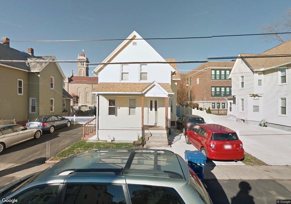
20 Moseley Ave West Springfield, MA 01089
Estimated Value: $252,000 - $305,000
4
Beds
2
Baths
1,450
Sq Ft
$188/Sq Ft
Est. Value
About This Home
This home is located at 20 Moseley Ave, West Springfield, MA 01089 and is currently estimated at $273,095, approximately $188 per square foot. 20 Moseley Ave is a home located in Hampden County with nearby schools including West Springfield High School, Hampden Charter School of Science West, and Libertas Academy Charter School.
Ownership History
Date
Name
Owned For
Owner Type
Purchase Details
Closed on
Dec 29, 2023
Sold by
Mostovoy Vladimir S and Mostovaya Kheli
Bought by
20 Moseley Avenue Rt and Medvedev
Current Estimated Value
Purchase Details
Closed on
Sep 20, 1996
Sold by
Waversak Anne Est and Wojcicki
Bought by
Mostovoy Vladimir S and Mostovaya Kheli
Home Financials for this Owner
Home Financials are based on the most recent Mortgage that was taken out on this home.
Original Mortgage
$28,000
Interest Rate
7.89%
Mortgage Type
Purchase Money Mortgage
Create a Home Valuation Report for This Property
The Home Valuation Report is an in-depth analysis detailing your home's value as well as a comparison with similar homes in the area
Home Values in the Area
Average Home Value in this Area
Purchase History
| Date | Buyer | Sale Price | Title Company |
|---|---|---|---|
| 20 Moseley Avenue Rt | -- | None Available | |
| Mostovoy Vladimir S | $32,000 | -- |
Source: Public Records
Mortgage History
| Date | Status | Borrower | Loan Amount |
|---|---|---|---|
| Previous Owner | Mostovoy Vladimir S | $28,000 |
Source: Public Records
Tax History Compared to Growth
Tax History
| Year | Tax Paid | Tax Assessment Tax Assessment Total Assessment is a certain percentage of the fair market value that is determined by local assessors to be the total taxable value of land and additions on the property. | Land | Improvement |
|---|---|---|---|---|
| 2025 | $3,451 | $232,100 | $84,000 | $148,100 |
| 2024 | $3,208 | $216,600 | $84,000 | $132,600 |
| 2023 | $3,043 | $195,800 | $84,000 | $111,800 |
| 2022 | $2,804 | $177,900 | $76,200 | $101,700 |
| 2021 | $2,552 | $151,000 | $60,600 | $90,400 |
| 2020 | $2,565 | $151,000 | $60,600 | $90,400 |
| 2019 | $2,561 | $151,000 | $60,600 | $90,400 |
| 2018 | $2,575 | $151,000 | $60,600 | $90,400 |
| 2017 | $2,575 | $151,000 | $60,600 | $90,400 |
| 2016 | $2,526 | $148,700 | $58,300 | $90,400 |
| 2015 | $2,351 | $138,400 | $57,200 | $81,200 |
| 2014 | $569 | $138,400 | $57,200 | $81,200 |
Source: Public Records
Map
Nearby Homes
- 37 Day St
- 44 Spring St
- 31 Russell St
- 220 New Bridge St
- 1010 Main St
- 95 Park Ave Unit 1
- 56 Exposition Terrace
- 2718 Main St
- 334 Elm St
- 49-53 Jefferson Ave
- Lot 10 Ahiska Rd
- 42 Ringgold St
- 369 Cold Spring Ave
- 482 Chestnut St
- 158 Chestnut St Unit 2G
- 385 Worthington St Unit 3D
- 140 Chestnut St Unit 204
- 140 Chestnut St Unit 819
- 140 Chestnut St Unit 706
- 140 Chestnut St Unit 210