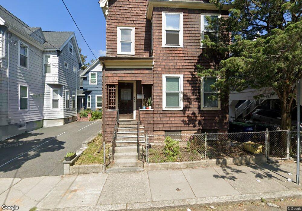
20 Mossland St Unit 1 Somerville, MA 02144
Porter Square NeighborhoodEstimated Value: $1,309,000 - $1,502,000
2
Beds
3
Baths
800
Sq Ft
$1,732/Sq Ft
Est. Value
About This Home
This home is located at 20 Mossland St Unit 1, Somerville, MA 02144 and is currently estimated at $1,385,333, approximately $1,731 per square foot. 20 Mossland St Unit 1 is a home located in Middlesex County with nearby schools including Somerville High School.
Ownership History
Date
Name
Owned For
Owner Type
Purchase Details
Closed on
May 9, 2017
Sold by
20 Mossland Street Rt
Bought by
20 Mossland T
Current Estimated Value
Create a Home Valuation Report for This Property
The Home Valuation Report is an in-depth analysis detailing your home's value as well as a comparison with similar homes in the area
Home Values in the Area
Average Home Value in this Area
Purchase History
| Date | Buyer | Sale Price | Title Company |
|---|---|---|---|
| 20 Mossland T | $830,000 | -- |
Source: Public Records
Property History
| Date | Event | Price | List to Sale | Price per Sq Ft |
|---|---|---|---|---|
| 06/26/2025 06/26/25 | Off Market | $2,900 | -- | -- |
| 06/18/2025 06/18/25 | Price Changed | $2,900 | -4.9% | $4 / Sq Ft |
| 06/10/2025 06/10/25 | For Rent | $3,050 | -- | -- |
Tax History Compared to Growth
Tax History
| Year | Tax Paid | Tax Assessment Tax Assessment Total Assessment is a certain percentage of the fair market value that is determined by local assessors to be the total taxable value of land and additions on the property. | Land | Improvement |
|---|---|---|---|---|
| 2025 | $11,274 | $1,033,400 | $585,500 | $447,900 |
| 2024 | $10,666 | $1,013,900 | $585,500 | $428,400 |
| 2023 | $10,443 | $1,010,000 | $585,500 | $424,500 |
| 2022 | $9,919 | $974,400 | $557,700 | $416,700 |
| 2021 | $9,471 | $929,400 | $553,600 | $375,800 |
| 2020 | $9,126 | $904,500 | $554,000 | $350,500 |
| 2019 | $8,674 | $806,100 | $504,300 | $301,800 |
| 2018 | $7,842 | $693,400 | $458,400 | $235,000 |
| 2017 | $7,706 | $660,300 | $432,500 | $227,800 |
| 2016 | $7,534 | $601,300 | $386,200 | $215,100 |
| 2015 | $7,141 | $566,300 | $356,600 | $209,700 |
Source: Public Records
Map
Nearby Homes
- 14 Mossland St
- 12 Mossland St
- 32-40 White St
- 749 Somerville Ave Unit 1
- 9 Carver St
- 1783 Massachusetts Ave Unit B
- 15-15A Forest St
- 3 Arlington St Unit 52
- 1963 Massachusetts Ave Unit 404
- 1 Richdale Ave Unit 2
- 8 Craigie St
- 20 Beech St
- 7 Beech St Unit 319
- 7 Beech St Unit 211
- 35 Ibbetson St
- 22 Lowell St Unit 3
- 12 Windsor Rd Unit 1
- 3 Fairlee St
- 22 Agassiz St
- 85 Lowell St
- 20 Mossland St
- 20 Mossland St Unit 3
- 16 Mossland St
- 16 Mossland St Unit 1
- 16 Mossland St Unit 16
- 18 Mossland St Unit 1
- 18 Mossland St
- 56 Elm St Unit 3
- 56 Elm St Unit 1
- 56 Elm St
- 56 Elm St Unit A
- 54 Elm St
- 54 Elm St Unit 2
- 54 Elm St Unit 1
- 58 Elm St
- 6 Holyoke Rd
- 17 Mossland St Unit 2
- 17 Mossland St Unit 1
- 8 Holyoke Rd Unit 1
- 8 Holyoke Rd