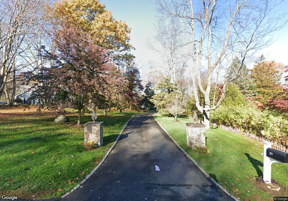
20 Mudry Farm Rd Brookfield, CT 06804
Estimated Value: $941,397 - $1,016,000
4
Beds
3
Baths
3,146
Sq Ft
$308/Sq Ft
Est. Value
About This Home
This home is located at 20 Mudry Farm Rd, Brookfield, CT 06804 and is currently estimated at $968,349, approximately $307 per square foot. 20 Mudry Farm Rd is a home located in Fairfield County with nearby schools including Whisconier Middle School, Brookfield High School, and Christian Life Academy.
Ownership History
Date
Name
Owned For
Owner Type
Purchase Details
Closed on
Jul 19, 2004
Sold by
Bloyd Marie
Bought by
Schmandt Michael and Schmandt Sabire
Current Estimated Value
Home Financials for this Owner
Home Financials are based on the most recent Mortgage that was taken out on this home.
Original Mortgage
$515,000
Interest Rate
4.37%
Purchase Details
Closed on
Aug 23, 1991
Sold by
High Ridge Realty
Bought by
Bloyd Richard and Bloyd Marie
Create a Home Valuation Report for This Property
The Home Valuation Report is an in-depth analysis detailing your home's value as well as a comparison with similar homes in the area
Home Values in the Area
Average Home Value in this Area
Purchase History
| Date | Buyer | Sale Price | Title Company |
|---|---|---|---|
| Schmandt Michael | $68,000 | -- | |
| Schmandt Michael | $68,000 | -- | |
| Bloyd Richard | $415,000 | -- |
Source: Public Records
Mortgage History
| Date | Status | Borrower | Loan Amount |
|---|---|---|---|
| Open | Bloyd Richard | $440,000 | |
| Closed | Bloyd Richard | $515,000 | |
| Previous Owner | Bloyd Richard | $240,000 |
Source: Public Records
Tax History
| Year | Tax Paid | Tax Assessment Tax Assessment Total Assessment is a certain percentage of the fair market value that is determined by local assessors to be the total taxable value of land and additions on the property. | Land | Improvement |
|---|---|---|---|---|
| 2025 | $14,374 | $496,850 | $158,380 | $338,470 |
| 2024 | $13,862 | $496,850 | $158,380 | $338,470 |
| 2023 | $13,360 | $497,400 | $158,930 | $338,470 |
| 2022 | $12,873 | $497,400 | $158,930 | $338,470 |
| 2021 | $11,530 | $428,420 | $176,520 | $251,900 |
| 2020 | $12,703 | $428,420 | $176,520 | $251,900 |
| 2019 | $12,484 | $428,420 | $176,520 | $251,900 |
| 2018 | $7,583 | $428,420 | $176,520 | $251,900 |
| 2017 | $11,300 | $414,070 | $176,520 | $237,550 |
| 2016 | $10,928 | $413,940 | $187,380 | $226,560 |
| 2015 | $10,638 | $413,940 | $187,380 | $226,560 |
| 2014 | $10,638 | $413,940 | $187,380 | $226,560 |
Source: Public Records
Map
Nearby Homes
- 70 Obtuse Hill Rd
- 6 Comstock Trail Unit 6
- 29 Ledgewood Dr
- 95 Obtuse Rd S
- 19 A Apache Dr
- 23 Sunset Hill Rd
- 99 Obtuse Hill Rd
- 5 Woodland Hills Terrace
- 20 Brookfield Meadows
- 27 Obtuse Rd S
- 1 Dunsinane Rd
- 112 A Stony Hill Rd
- 409 Northrop St
- 10 Elmwood Ct
- 2 Elmwood Ct
- 3 Bramble Way
- 3 Bramble Way Unit Homesite 77
- 5 Bramble Way Unit Homesite 76
- 7 Bramble Way Unit Homesite 75
- 7 Bramble Way
Your Personal Tour Guide
Ask me questions while you tour the home.