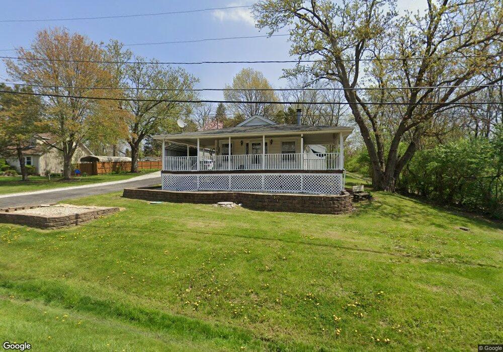
20 N Anderson Rd New Lenox, IL 60451
Estimated Value: $356,000 - $490,000
--
Bed
--
Bath
--
Sq Ft
1.49
Acres
About This Home
This home is located at 20 N Anderson Rd, New Lenox, IL 60451 and is currently estimated at $422,131. 20 N Anderson Rd is a home located in Will County with nearby schools including Bentley Elementary School, Arnold J Tyler School, and Alex M Martino Jr High School.
Ownership History
Date
Name
Owned For
Owner Type
Purchase Details
Closed on
Oct 28, 2010
Sold by
Jeschke Martin Joanne and Jeschke Manheim Barbara
Bought by
Jeschke Don
Current Estimated Value
Home Financials for this Owner
Home Financials are based on the most recent Mortgage that was taken out on this home.
Original Mortgage
$125,000
Interest Rate
4.27%
Mortgage Type
New Conventional
Purchase Details
Closed on
May 22, 2007
Sold by
Jeschke Melvin M
Bought by
Jeschke Melvin M and Jeschke Don
Create a Home Valuation Report for This Property
The Home Valuation Report is an in-depth analysis detailing your home's value as well as a comparison with similar homes in the area
Home Values in the Area
Average Home Value in this Area
Purchase History
| Date | Buyer | Sale Price | Title Company |
|---|---|---|---|
| Jeschke Don | -- | Fidelity National Title | |
| Jeschke Melvin M | -- | None Available |
Source: Public Records
Mortgage History
| Date | Status | Borrower | Loan Amount |
|---|---|---|---|
| Closed | Jeschke Don | $125,000 |
Source: Public Records
Tax History Compared to Growth
Tax History
| Year | Tax Paid | Tax Assessment Tax Assessment Total Assessment is a certain percentage of the fair market value that is determined by local assessors to be the total taxable value of land and additions on the property. | Land | Improvement |
|---|---|---|---|---|
| 2024 | $9,672 | $131,614 | $37,580 | $94,034 |
| 2023 | $9,672 | $119,976 | $34,257 | $85,719 |
| 2022 | $8,719 | $110,526 | $31,559 | $78,967 |
| 2021 | $8,277 | $103,946 | $29,680 | $74,266 |
| 2020 | $8,039 | $100,237 | $28,621 | $71,616 |
| 2019 | $7,688 | $97,129 | $27,734 | $69,395 |
| 2018 | $7,508 | $93,781 | $26,778 | $67,003 |
| 2017 | $7,126 | $91,085 | $26,008 | $65,077 |
| 2016 | $6,915 | $88,647 | $25,312 | $63,335 |
| 2015 | $6,232 | $85,856 | $24,515 | $61,341 |
| 2014 | $6,232 | $84,796 | $24,212 | $60,584 |
| 2013 | $6,232 | $85,939 | $24,538 | $61,401 |
Source: Public Records
Map
Nearby Homes
- 125 N Anderson Rd
- 1212 Georgias Way
- 1245 Georgias Way
- 1193 Georgias Way
- 214 Somerset Ct
- 1139 Georgias Way
- 1017 E Lincoln Hwy
- 513 Somerset Ln
- 449 Somerset Ln Unit 1
- 1125 Georgias Way
- 1351 E Lincoln Hwy
- 621 Chatfield Rd
- 1535 Glenbrooke Ln
- 641 Lisson Grove
- 1920 Tessington Ct
- 701 Bishops Gate
- 1931 Tessington Ct
- 821 Chatfield Rd
- 1108 Plaza Dr
- 12932 Carrington Ct
- 130 N Anderson Rd
- 110 N Anderson Rd
- 918 Herr Dr
- 117 Lincolnway Dr
- 121 Lincolnway Dr
- 113 Lincolnway Dr
- 924 Herr Dr
- 136 N Anderson Rd
- 103 Lincolnway Dr
- 915 Herr Dr
- 911 Herr Dr
- 140 N Anderson Rd
- 919 Herr Dr
- 933 Shirley Pkwy
- 932 Herr Dr
- 110 Lincolnway Dr
- 101 Lincolnway Dr
- 927 Herr Dr
- 937 Shirley Pkwy Unit 1
- 104 Lincolnway Dr Unit 1