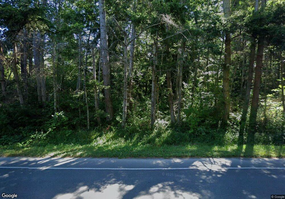
20 N Camano Ridge Rd Camano Island, WA 98282
Estimated Value: $885,956 - $998,000
2
Beds
2
Baths
1,820
Sq Ft
$521/Sq Ft
Est. Value
About This Home
This home is located at 20 N Camano Ridge Rd, Camano Island, WA 98282 and is currently estimated at $948,989, approximately $521 per square foot. 20 N Camano Ridge Rd is a home located in Island County with nearby schools including Utsalady Elementary School, Port Susan Middle School, and Stanwood High School.
Ownership History
Date
Name
Owned For
Owner Type
Purchase Details
Closed on
Jul 3, 2006
Sold by
Murray Wayne E
Bought by
Hester Ronald A and Hester Kerry A
Current Estimated Value
Home Financials for this Owner
Home Financials are based on the most recent Mortgage that was taken out on this home.
Original Mortgage
$172,000
Outstanding Balance
$140,232
Interest Rate
7%
Mortgage Type
New Conventional
Estimated Equity
$808,757
Create a Home Valuation Report for This Property
The Home Valuation Report is an in-depth analysis detailing your home's value as well as a comparison with similar homes in the area
Home Values in the Area
Average Home Value in this Area
Purchase History
| Date | Buyer | Sale Price | Title Company |
|---|---|---|---|
| Hester Ronald A | $469,950 | Chicago Title Co Island Div |
Source: Public Records
Mortgage History
| Date | Status | Borrower | Loan Amount |
|---|---|---|---|
| Open | Hester Ronald A | $172,000 |
Source: Public Records
Tax History Compared to Growth
Tax History
| Year | Tax Paid | Tax Assessment Tax Assessment Total Assessment is a certain percentage of the fair market value that is determined by local assessors to be the total taxable value of land and additions on the property. | Land | Improvement |
|---|---|---|---|---|
| 2024 | $6,034 | $801,964 | $340,000 | $461,964 |
| 2023 | $6,034 | $787,278 | $320,000 | $467,278 |
| 2022 | $5,591 | $720,676 | $300,000 | $420,676 |
| 2021 | $5,307 | $603,248 | $230,000 | $373,248 |
| 2020 | $4,872 | $554,767 | $190,000 | $364,767 |
| 2019 | $4,436 | $502,573 | $220,000 | $282,573 |
| 2018 | $4,541 | $458,328 | $175,000 | $283,328 |
| 2017 | $3,920 | $434,825 | $150,000 | $284,825 |
| 2016 | $3,640 | $416,931 | $150,000 | $266,931 |
| 2015 | -- | $371,876 | $101,920 | $269,956 |
| 2013 | -- | $377,924 | $101,920 | $276,004 |
Source: Public Records
Map
Nearby Homes
- 67 Gilbertson Rd
- 212 Grandview Ave
- 230 Rocky Mountain High Rd
- 0 xxxb S Dove Dr
- 304 S Dove Dr
- 0 xxxa S Dove Dr
- 441 Windsun Way
- 435 Thumper Ln
- 276 Melissa St
- 209 Burke Dr
- 870 Cedar Ln
- 435 NW Camano Dr
- 923 Olympic St
- 345 Seaview Ct
- 325 Melissa St
- 176 N Maple St
- 275 Maple St
- 139 N Maple St
- 329 Burke Dr
- 211 N Sunset Dr
- 72 N Camano Ridge Rd
- 467 Carp Lake Rd
- 26 S Camano Ridge Rd Unit 14
- 37 N Camano Ridge Rd
- 35 Blue Bird Ln
- 71 Blue Bird Ln
- 37 S Camano Ridge Rd
- 51 N Camano Ridge Rd
- 0 Camano Ridge Unit 1539046
- 0 Camano Ridge Unit 1421509
- 0 S Camano Ridge Rd Unit 910645
- 0 S Camano Ridge Rd Unit 789561
- 0 S Camano Ridge Rd Unit 29001927
- 0 S Camano Ridge Rd Unit 1047470
- 0 S Camano Ridge Rd Unit 1758425
- 0 S Camano Ridge Rd Unit 1758378
- 0 S Camano Ridge Rd Unit 18564030
- 0 S Camano Ridge Rd Unit 19244623
- 36 Blue Bird Ln
- 0 Gilbertson Rd
