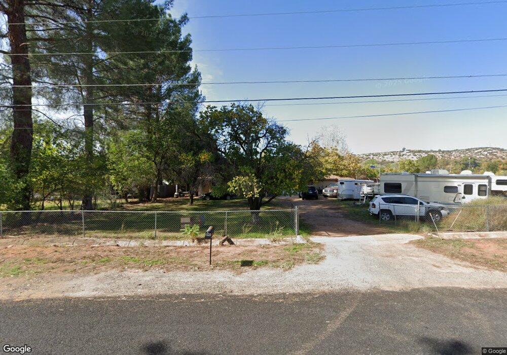
20 N Farm Circle Rd Cornville, AZ 86325
Estimated Value: $518,000 - $884,000
--
Bed
--
Bath
2,112
Sq Ft
$322/Sq Ft
Est. Value
About This Home
This home is located at 20 N Farm Circle Rd, Cornville, AZ 86325 and is currently estimated at $680,080, approximately $322 per square foot. 20 N Farm Circle Rd is a home located in Yavapai County with nearby schools including Oak Creek School, Cottonwood Community School, and Cottonwood Middle School.
Ownership History
Date
Name
Owned For
Owner Type
Purchase Details
Closed on
Jul 14, 2020
Sold by
Parry Norval W and Parry Jacquelyn K
Bought by
Parry Norval W and Parr Jacquelyn K
Current Estimated Value
Purchase Details
Closed on
Feb 9, 1999
Sold by
Jenson Richard F and Jenson Janet Rene
Bought by
Parry Norval W and Parry Jacqueline K
Purchase Details
Closed on
Jul 14, 1994
Sold by
Peoble James T and Peoble Irene
Bought by
Jenson Richard F and Jenson Janet Rene
Home Financials for this Owner
Home Financials are based on the most recent Mortgage that was taken out on this home.
Original Mortgage
$51,000
Interest Rate
8.38%
Create a Home Valuation Report for This Property
The Home Valuation Report is an in-depth analysis detailing your home's value as well as a comparison with similar homes in the area
Home Values in the Area
Average Home Value in this Area
Purchase History
| Date | Buyer | Sale Price | Title Company |
|---|---|---|---|
| Parry Norval W | -- | None Available | |
| Parry Norval W | $62,708 | First American Title | |
| Jenson Richard F | -- | Yavapai Title Company | |
| Peoble James T | -- | Yavapai Title Company |
Source: Public Records
Mortgage History
| Date | Status | Borrower | Loan Amount |
|---|---|---|---|
| Previous Owner | Jenson Richard F | $51,000 |
Source: Public Records
Tax History Compared to Growth
Tax History
| Year | Tax Paid | Tax Assessment Tax Assessment Total Assessment is a certain percentage of the fair market value that is determined by local assessors to be the total taxable value of land and additions on the property. | Land | Improvement |
|---|---|---|---|---|
| 2026 | $2,792 | $60,208 | -- | -- |
| 2024 | $2,682 | $57,579 | -- | -- |
| 2023 | $2,682 | $47,072 | $13,191 | $33,881 |
| 2022 | $2,636 | $34,642 | $7,559 | $27,083 |
| 2021 | $2,754 | $31,738 | $7,020 | $24,718 |
| 2020 | $2,703 | $0 | $0 | $0 |
| 2019 | $2,656 | $0 | $0 | $0 |
| 2018 | $2,548 | $0 | $0 | $0 |
| 2017 | $2,436 | $0 | $0 | $0 |
| 2016 | $2,375 | $0 | $0 | $0 |
| 2015 | $2,350 | $0 | $0 | $0 |
| 2014 | -- | $0 | $0 | $0 |
Source: Public Records
Map
Nearby Homes
- 10580 E Swinging Bridge Ln
- 10295 E Cottonwood Ct Unit 136
- 10647 E Swinging Bridge Ln
- 10755 E Oak Creek Trail
- 10973 E Majestic Vista Ln Unit 1
- 235 S Bonito Ranch Loop Unit 26
- 465 S Bonita Ranch Loop Unit 22
- 10725 E Valley View Dr Unit 174
- 100 S Blue Heron Dr
- 10425 E Willow Dr
- 10885 E Pear Tree Dr
- 10883 E Pear Tree Dr Unit 14
- 10881 E Pear Tree Dr Unit 15
- 220 S Bright Star Ln
- 0000 E Willow Point Rd
- 960 N Aspaas Rd
- 11365 E Adams Ln
- 10170 S Mels Rd
- 9420 E Cornville Rd
- 9280 E Cornville Rd
- 10100 E Swinging Bridge Ln
- 25 N Farm Circle Rd
- 50 N Farm Circle Rd
- 15 N Farm Circle Rd
- 27 N Farm
- 5 N Farm Circle Rd
- 130 N Farm Circle Rd
- 10320 E Swinging Bridge Ln
- 00 S Country Hill Rd
- 0 Country Hill Ln Unit 119286
- 0 Country Hill Ln Unit B
- 0 Country Hill Ln
- 90 S Country View Ln
- 88 N Farm Circle Rd
- 220 N Farm Circle Rd