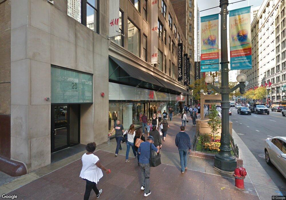
20 N State St, Unit 1011 Chicago, IL 60602
The Loop NeighborhoodEstimated Value: $256,000 - $277,414
About This Home
This home is located at 20 N State St Unit 1011, Chicago, IL 60602 and is currently estimated at $264,604, approximately $357 per square foot. 20 N State St Unit 1011 is a home located in Cook County with nearby schools including South Loop Elementary School, Wendell Phillips Academy High School, and Chicago International Charter School.
Ownership History
We collect this data history from publicly available records. To have your information removed, we recommend requesting removal directly through your county’s website.
Purchase Details
Purchase Details
Purchase Details
Home Values in the Area
Average Home Value in this Area
Purchase History
We collect this data history from publicly available records. To have your information removed, we recommend requesting removal directly through your county’s website.
| Date | Buyer | Sale Price | Title Company |
|---|---|---|---|
| -- | Attorney | ||
| -- | Attorney | ||
| -- | -- |
Tax History
We collect this data history from publicly available records. To have your information removed, we recommend requesting removal directly through your county’s website.
| Year | Tax Paid | Tax Assessment Tax Assessment Total Assessment is a certain percentage of the fair market value that is determined by local assessors to be the total taxable value of land and additions on the property. | Land | Improvement |
|---|---|---|---|---|
| 2025 | $5,662 | $25,631 | $7,049 | $18,582 |
| 2024 | $5,662 | $25,631 | $7,049 | $18,582 |
| 2023 | $5,497 | $25,650 | $5,682 | $19,968 |
| 2022 | $5,497 | $25,650 | $5,682 | $19,968 |
| 2021 | $5,368 | $25,648 | $5,681 | $19,967 |
| 2020 | $3,820 | $16,526 | $5,148 | $11,378 |
| 2019 | $3,766 | $17,999 | $5,148 | $12,851 |
| 2018 | $3,701 | $17,999 | $5,148 | $12,851 |
| 2017 | $3,951 | $17,607 | $4,261 | $13,346 |
| 2016 | $3,695 | $17,607 | $4,261 | $13,346 |
| 2015 | $3,389 | $17,607 | $4,261 | $13,346 |
| 2014 | $3,146 | $16,012 | $3,923 | $12,089 |
| 2013 | $3,085 | $16,012 | $3,923 | $12,089 |
About This Building
Map
- 20 N State St Unit 612
- 20 N State St Unit 611
- 20 N State St Unit 410
- 8 E Randolph St Unit 1803
- 8 E Randolph St Unit 2904
- 8 E Randolph St Unit 1602
- 8 E Randolph St Unit 3108
- 8 E Randolph St Unit 1401
- 8 E Randolph St Unit 3102
- 8 E Randolph St Unit 2107
- 8 E Randolph St Unit 1506
- 8 W Monroe St Unit P-103
- 8 W Monroe St Unit 1105
- 8 W Monroe St Unit 1403
- 8 W Monroe St Unit 1800
- 8 W Monroe St Unit 1508
- 8 W Monroe St Unit 1704
- 8 W Monroe St Unit 1007
- 8 W Monroe St Unit 1102
- 8 W Monroe St Unit 607
- 20 N State St Unit 707
- 20 N State St Unit 1008
- 20 N State St Unit 1007
- 20 N State St Unit 1006
- 20 N State St Unit 1005
- 20 N State St Unit 1001
- 20 N State St Unit 904
- 20 N State St Unit 912
- 20 N State St Unit 911
- 20 N State St Unit 907
- 20 N State St Unit 906
- 20 N State St Unit 814
- 20 N State St Unit 813
- 20 N State St Unit 812
- 20 N State St Unit 811
- 20 N State St Unit 803
- 20 N State St Unit 714
- 20 N State St Unit 713
- 20 N State St Unit 613
- 20 N State St Unit 710
Ask me questions while you tour the home.