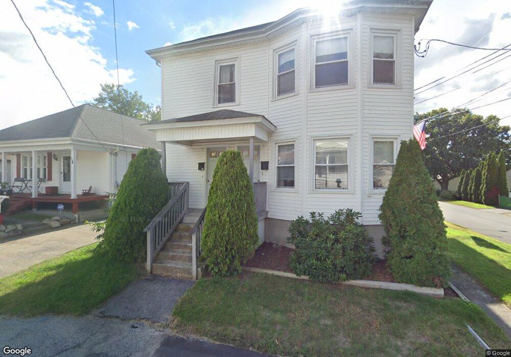
20 Nevada Ave Unit 22 Rumford, RI 02916
Phillipsdale NeighborhoodEstimated Value: $462,543 - $592,000
4
Beds
2
Baths
2,144
Sq Ft
$255/Sq Ft
Est. Value
About This Home
This home is located at 20 Nevada Ave Unit 22, Rumford, RI 02916 and is currently estimated at $546,386, approximately $254 per square foot. 20 Nevada Ave Unit 22 is a home located in Providence County with nearby schools including East Providence High School, St Margaret School, and Saint Teresa Catholic Elementary School.
Ownership History
Date
Name
Owned For
Owner Type
Purchase Details
Closed on
Jun 26, 2025
Sold by
Hennessey Maureen
Bought by
Maureen Hennessey Irt and Hennessey
Current Estimated Value
Purchase Details
Closed on
Sep 27, 2007
Sold by
Claudino Jaime G
Bought by
Hennessey Maureen
Create a Home Valuation Report for This Property
The Home Valuation Report is an in-depth analysis detailing your home's value as well as a comparison with similar homes in the area
Home Values in the Area
Average Home Value in this Area
Purchase History
| Date | Buyer | Sale Price | Title Company |
|---|---|---|---|
| Maureen Hennessey Irt | -- | -- | |
| Maureen Hennessey Irt | -- | -- | |
| Hennessey Maureen | $130,000 | -- | |
| Hennessey Maureen | $130,000 | -- |
Source: Public Records
Tax History Compared to Growth
Tax History
| Year | Tax Paid | Tax Assessment Tax Assessment Total Assessment is a certain percentage of the fair market value that is determined by local assessors to be the total taxable value of land and additions on the property. | Land | Improvement |
|---|---|---|---|---|
| 2025 | $6,749 | $516,400 | $104,600 | $411,800 |
| 2024 | $5,528 | $360,600 | $87,100 | $273,500 |
| 2023 | $5,322 | $360,600 | $87,100 | $273,500 |
| 2022 | $5,338 | $244,200 | $62,000 | $182,200 |
| 2021 | $5,250 | $244,200 | $62,000 | $182,200 |
| 2020 | $5,028 | $244,200 | $62,000 | $182,200 |
| 2019 | $4,889 | $244,200 | $62,000 | $182,200 |
| 2018 | $4,402 | $192,400 | $49,600 | $142,800 |
| 2017 | $4,304 | $192,400 | $49,600 | $142,800 |
| 2016 | $4,283 | $192,400 | $49,600 | $142,800 |
| 2015 | $4,211 | $183,500 | $48,100 | $135,400 |
| 2014 | $4,211 | $183,500 | $48,100 | $135,400 |
Source: Public Records
Map
Nearby Homes
- 27 Orange St
- 25 Orange St
- 39 Webster Ave Unit 201
- 8 Pine Grove St
- 99 Ruth Ave Unit 101
- 261 263 Roger Williams Ave
- 70 Glen Meadows Dr
- 339 Beverage Hill Ave
- 111 Raymond Ave
- 45 Fortin Ave
- 496 Beverage Hill Ave
- 60 West Dr
- 63 East Dr
- 23 Frederick St
- 0 Rosella Ave
- 200 Roger Williams Ave Unit 109
- 200 Roger Williams Ave Unit 207
- 200 Roger Williams Ave Unit 417
- 77 Manistee St
- 77 Manistee St
- 32 Nevada Ave
- 40 Nevada Ave
- 16 Nevada Ave
- 31 Nevada Ave
- 25 Nevada Ave
- 23 Orange St
- 19 Webster Ave
- 15 Nevada Ave
- 15 Orange St
- 44 Nevada Ave
- 18 Orange St
- 219 Pawtucket Ave
- 33 Orange St
- 45 Nevada Ave
- 14 Orange St
- 5 Webster Ave
- 223 Pawtucket Ave
- 10 Nevada Ave Unit 12
- 17 Orange St Unit 19
- 217 Pawtucket Ave