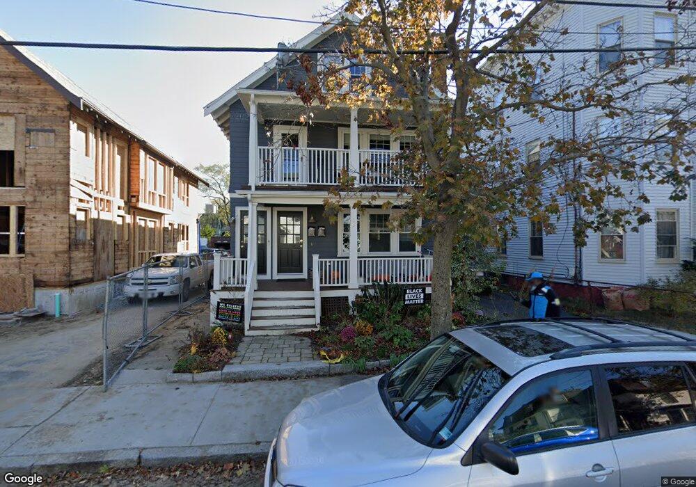
20 Norris St Unit 2 Cambridge, MA 02140
North Cambridge NeighborhoodEstimated Value: $1,168,000 - $1,268,000
3
Beds
2
Baths
1,637
Sq Ft
$753/Sq Ft
Est. Value
About This Home
This home is located at 20 Norris St Unit 2, Cambridge, MA 02140 and is currently estimated at $1,231,962, approximately $752 per square foot. 20 Norris St Unit 2 is a home located in Middlesex County with nearby schools including Benjamin Banneker Charter Public School, Cambridge Friends School, and International School of Boston.
Ownership History
Date
Name
Owned For
Owner Type
Purchase Details
Closed on
Dec 23, 2022
Sold by
Livny Ayala A
Bought by
Livny Ret
Current Estimated Value
Purchase Details
Closed on
Jun 2, 2011
Sold by
Barcklay Kira
Bought by
Livny Jonathan and Livny Ayala A
Home Financials for this Owner
Home Financials are based on the most recent Mortgage that was taken out on this home.
Original Mortgage
$380,625
Interest Rate
4.85%
Mortgage Type
Purchase Money Mortgage
Purchase Details
Closed on
Apr 30, 2008
Sold by
Barclay Derek and Barclay Kira
Bought by
Barclay Kira
Create a Home Valuation Report for This Property
The Home Valuation Report is an in-depth analysis detailing your home's value as well as a comparison with similar homes in the area
Home Values in the Area
Average Home Value in this Area
Purchase History
| Date | Buyer | Sale Price | Title Company |
|---|---|---|---|
| Livny Ret | -- | None Available | |
| Livny Jonathan | $507,500 | -- | |
| Barclay Kira | -- | -- |
Source: Public Records
Mortgage History
| Date | Status | Borrower | Loan Amount |
|---|---|---|---|
| Previous Owner | Livny Jonathan | $380,625 |
Source: Public Records
Tax History Compared to Growth
Tax History
| Year | Tax Paid | Tax Assessment Tax Assessment Total Assessment is a certain percentage of the fair market value that is determined by local assessors to be the total taxable value of land and additions on the property. | Land | Improvement |
|---|---|---|---|---|
| 2025 | $6,826 | $1,074,900 | $0 | $1,074,900 |
| 2024 | $6,300 | $1,064,200 | $0 | $1,064,200 |
| 2023 | $5,831 | $995,000 | $0 | $995,000 |
| 2022 | $5,765 | $973,900 | $0 | $973,900 |
| 2021 | $5,636 | $963,500 | $0 | $963,500 |
| 2020 | $5,298 | $921,400 | $0 | $921,400 |
| 2019 | $5,085 | $856,100 | $0 | $856,100 |
| 2018 | $2,885 | $787,200 | $0 | $787,200 |
| 2017 | $4,845 | $746,500 | $0 | $746,500 |
| 2016 | $4,827 | $690,500 | $0 | $690,500 |
| 2015 | $4,785 | $611,900 | $0 | $611,900 |
| 2014 | $4,725 | $563,800 | $0 | $563,800 |
Source: Public Records
Map
Nearby Homes
- 30 Dudley St
- 179 Rindge Ave Unit 1
- 17 Shea Rd
- 183 Rindge Ave Unit 1
- 22 Harrington Rd
- 110 Reed St
- 32 Cameron Ave
- 2456 Massachusetts Ave Unit 402
- 69 Harvey St Unit 1
- 50 Howard St Unit 5
- 12 Rindge Ave Unit 1
- 34 Day St
- 67-69 Cameron Ave
- 124 Jackson St
- 127 Harvey St
- 127 Harvey St Unit 127
- 97 Elmwood St Unit 313
- 97 Elmwood St Unit 310
- 61 Cameron Ave
- 112 Jackson St
- 20 Norris St Unit 1
- 16 Norris St
- 24 Norris St Unit 5
- 24 Norris St Unit 4
- 24 Norris St Unit 2
- 12 Norris St
- 13 Rice St Unit 13
- 13 Rice St Unit n/a
- 13 Rice St
- 19 Rice St
- 21 Rice St
- 2326 Massachusetts Ave
- 23 Rice St Unit Rice St
- 13 Norris St
- 2322 Massachusetts Ave
- 27 Norris St
- 27 Norris St Unit 5
- 29 Norris St Unit 29
- 31 Rice St
- 40 Norris St Unit B103