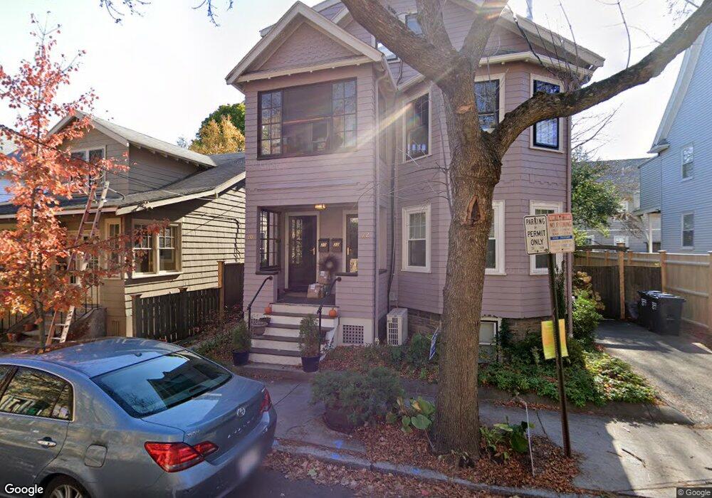
20 Notre Dame Ave Unit 22 Cambridge, MA 02140
North Cambridge NeighborhoodEstimated Value: $1,769,000 - $2,227,000
5
Beds
3
Baths
2,711
Sq Ft
$764/Sq Ft
Est. Value
About This Home
This home is located at 20 Notre Dame Ave Unit 22, Cambridge, MA 02140 and is currently estimated at $2,070,603, approximately $763 per square foot. 20 Notre Dame Ave Unit 22 is a home located in Middlesex County with nearby schools including Benjamin Banneker Charter Public School, Cambridge Friends School, and Cambridge Montessori School.
Ownership History
Date
Name
Owned For
Owner Type
Purchase Details
Closed on
May 10, 2021
Sold by
Pratt Berit and Smith Cornelia E
Bought by
Berit Pratt 2006 Lt
Current Estimated Value
Purchase Details
Closed on
Oct 19, 1987
Sold by
Pratt Berit
Bought by
Pratt Berit
Create a Home Valuation Report for This Property
The Home Valuation Report is an in-depth analysis detailing your home's value as well as a comparison with similar homes in the area
Home Values in the Area
Average Home Value in this Area
Purchase History
| Date | Buyer | Sale Price | Title Company |
|---|---|---|---|
| Berit Pratt 2006 Lt | -- | None Available | |
| Pratt Berit | $120,000 | -- |
Source: Public Records
Mortgage History
| Date | Status | Borrower | Loan Amount |
|---|---|---|---|
| Previous Owner | Pratt Berit | $200,000 | |
| Previous Owner | Pratt Berit | $220,000 | |
| Previous Owner | Pratt Berit | $92,000 |
Source: Public Records
Tax History Compared to Growth
Tax History
| Year | Tax Paid | Tax Assessment Tax Assessment Total Assessment is a certain percentage of the fair market value that is determined by local assessors to be the total taxable value of land and additions on the property. | Land | Improvement |
|---|---|---|---|---|
| 2025 | $11,469 | $1,806,100 | $496,100 | $1,310,000 |
| 2024 | $10,525 | $1,777,900 | $516,800 | $1,261,100 |
| 2023 | $9,569 | $1,633,000 | $527,200 | $1,105,800 |
| 2022 | $8,888 | $1,501,400 | $525,200 | $976,200 |
| 2021 | $8,452 | $1,444,800 | $527,000 | $917,800 |
| 2020 | $8,073 | $1,404,000 | $511,500 | $892,500 |
| 2019 | $7,644 | $1,286,800 | $456,500 | $830,300 |
| 2018 | $5,261 | $1,153,900 | $384,500 | $769,400 |
| 2017 | $7,010 | $1,080,200 | $360,400 | $719,800 |
| 2016 | $6,571 | $940,100 | $312,400 | $627,700 |
| 2015 | $6,492 | $830,200 | $274,600 | $555,600 |
| 2014 | $6,169 | $736,100 | $240,300 | $495,800 |
Source: Public Records
Map
Nearby Homes
- 61 Bolton St Unit 304
- 147 Sherman St Unit 201
- 179 Rindge Ave Unit 1
- 183 Rindge Ave Unit 1
- 318 Rindge Ave Unit 103
- 30 Dudley St
- 12 Rindge Ave Unit 1
- 22 Harrington Rd
- 49 Clifton St
- 110 Reed St
- 124 Jackson St
- 8 Cogswell Ave
- 273 Walden St Unit 2
- 17 Shea Rd
- 112 Jackson St
- 70 Walden St Unit 1
- 70 Walden St Unit 7
- 70 Walden St Unit 11
- 69 Harvey St Unit 1
- 241 Upland Rd Unit 2
- 22 Notre Dame Ave
- 24 Notre Dame Ave
- 24 Notre Dame Ave
- 16 Notre Dame Ave
- 42 Sargent St Unit 2
- 42 Sargent St Unit 1
- 42 Sargent St Unit 2,42
- 14 Notre Dame Ave Unit C
- 14 Notre Dame Ave Unit B
- 14 Notre Dame Ave Unit A
- 14 Notre Dame Ave Unit 2,14
- 14 Notre Dame Ave Unit 3
- 46 Sargent St
- 12 Notre Dame Ave Unit 3
- 12 Notre Dame Ave
- 9 Verdun St
- 10 Notre Dame Ave Unit 12
- 10 Notre Dame Ave Unit 12
- 10 Notre Dame Ave Unit 12
- 10 Notre Dame Ave Unit 3