20 Ohandley Dr Amenia, NY 12501
Estimated Value: $458,000 - $524,000
3
Beds
3
Baths
2,072
Sq Ft
$234/Sq Ft
Est. Value
About This Home
This home is located at 20 Ohandley Dr, Amenia, NY 12501 and is currently estimated at $484,641, approximately $233 per square foot. 20 Ohandley Dr is a home located in Dutchess County with nearby schools including Eugene Brooks Intermediate School and Maplebrook School.
Ownership History
Date
Name
Owned For
Owner Type
Purchase Details
Closed on
May 14, 2007
Sold by
Stoetzner Diana
Bought by
Stoetzner Diana
Current Estimated Value
Home Financials for this Owner
Home Financials are based on the most recent Mortgage that was taken out on this home.
Original Mortgage
$74,559
Interest Rate
6.78%
Mortgage Type
Purchase Money Mortgage
Purchase Details
Closed on
May 20, 1994
Sold by
Lone Elm Building
Bought by
Stoetzner Diana
Create a Home Valuation Report for This Property
The Home Valuation Report is an in-depth analysis detailing your home's value as well as a comparison with similar homes in the area
Home Values in the Area
Average Home Value in this Area
Purchase History
| Date | Buyer | Sale Price | Title Company |
|---|---|---|---|
| Stoetzner Diana | -- | Genoveffa Flagello | |
| Stoetzner Diana | $157,735 | -- |
Source: Public Records
Mortgage History
| Date | Status | Borrower | Loan Amount |
|---|---|---|---|
| Previous Owner | Stoetzner Diana | $74,559 |
Source: Public Records
Tax History Compared to Growth
Tax History
| Year | Tax Paid | Tax Assessment Tax Assessment Total Assessment is a certain percentage of the fair market value that is determined by local assessors to be the total taxable value of land and additions on the property. | Land | Improvement |
|---|---|---|---|---|
| 2024 | $5,145 | $351,400 | $70,200 | $281,200 |
| 2023 | $6,718 | $341,200 | $68,800 | $272,400 |
| 2022 | $7,084 | $307,400 | $63,700 | $243,700 |
| 2021 | $4,913 | $276,900 | $63,700 | $213,200 |
| 2020 | $4,680 | $276,900 | $63,700 | $213,200 |
| 2019 | $4,628 | $282,600 | $65,000 | $217,600 |
| 2018 | $5,522 | $297,500 | $65,000 | $232,500 |
| 2017 | $5,364 | $297,500 | $65,000 | $232,500 |
| 2016 | $5,487 | $297,500 | $65,000 | $232,500 |
| 2015 | -- | $297,500 | $65,000 | $232,500 |
| 2014 | -- | $297,500 | $65,000 | $232,500 |
Source: Public Records
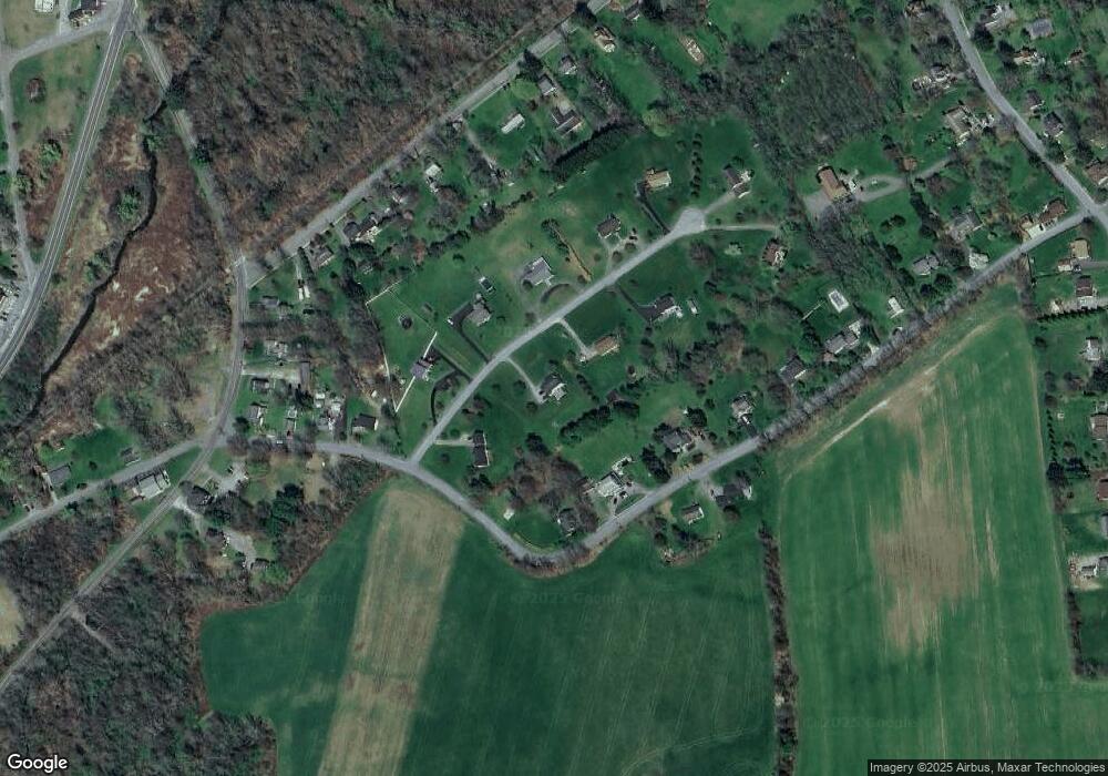
Map
Nearby Homes
- 782 Old Route 22
- 51 Depot Hill Rd
- 4865 South St
- 10 Stagecoach Ln
- 9 Morton Place
- 54 Midway Ave
- 75 Midway Ave
- 0 Route 343 Unit KEY896113
- 0 Route 343 Unit 20253568
- 5251 Route 44
- 39 Prospect Ave
- 10 Flood Dr
- 28 Yellow City Rd
- 31 Yellow City Rd
- 0 Cascade Mt Perrys Corners Rd Unit KEYH6310518
- 22 Old State Route
- 4848 Route 44 None
- 4848 Route 44
- 0 Perrys Corners Rd Unit KEYM419993
- 0 Cascade Mountain Rd Unit 419986
- 22 Ohandley Dr
- 49 Powder House Rd
- 19 Ohandley Dr
- 17 Ohandley Dr
- 41 Powder House Rd
- 55 Powder House Rd
- 21 Ohandley Dr
- 0 Ohandley Dr Unit 332376
- 24 Ohandley Dr
- 17 Powder House Rd
- 23 Ohandley Dr
- 54 Powder House Rd
- 61 Powder House Rd
- 56 Powder House Rd
- 13 Powder House Rd
- 18 Railroad Ave
- 20 Railroad Ave
- 30 Railroad Ave
- 26 Railroad Ave
- 67 Powder House Rd