20 Old C and W Railway Rd Mount Solon, VA 22843
Estimated Value: $395,000 - $577,000
2
Beds
1
Bath
2,174
Sq Ft
$224/Sq Ft
Est. Value
About This Home
This home is located at 20 Old C and W Railway Rd, Mount Solon, VA 22843 and is currently estimated at $486,748, approximately $223 per square foot. 20 Old C and W Railway Rd is a home located in Augusta County with nearby schools including North River Elementary School, Beverley Manor Middle School, and Buffalo Gap High School.
Ownership History
Date
Name
Owned For
Owner Type
Purchase Details
Closed on
Oct 22, 2007
Sold by
Lam Glen Daniel
Bought by
Simmons Randal A and Simmons Patty H
Current Estimated Value
Home Financials for this Owner
Home Financials are based on the most recent Mortgage that was taken out on this home.
Original Mortgage
$340,000
Outstanding Balance
$214,476
Interest Rate
6.41%
Mortgage Type
Credit Line Revolving
Estimated Equity
$272,272
Create a Home Valuation Report for This Property
The Home Valuation Report is an in-depth analysis detailing your home's value as well as a comparison with similar homes in the area
Home Values in the Area
Average Home Value in this Area
Purchase History
| Date | Buyer | Sale Price | Title Company |
|---|---|---|---|
| Simmons Randal A | -- | -- |
Source: Public Records
Mortgage History
| Date | Status | Borrower | Loan Amount |
|---|---|---|---|
| Open | Simmons Randal A | $340,000 |
Source: Public Records
Tax History Compared to Growth
Tax History
| Year | Tax Paid | Tax Assessment Tax Assessment Total Assessment is a certain percentage of the fair market value that is determined by local assessors to be the total taxable value of land and additions on the property. | Land | Improvement |
|---|---|---|---|---|
| 2025 | $2,052 | $460,300 | $127,900 | $332,400 |
| 2024 | $1,303 | $460,300 | $127,900 | $332,400 |
| 2023 | $1,303 | $255,356 | $94,300 | $161,056 |
| 2022 | $1,303 | $255,356 | $94,300 | $161,056 |
| 2021 | $1,304 | $255,376 | $94,320 | $161,056 |
| 2020 | $1,304 | $255,400 | $94,300 | $161,100 |
| 2019 | $1,304 | $255,400 | $94,300 | $161,100 |
| 2018 | $1,007 | $209,996 | $94,300 | $115,696 |
| 2017 | $927 | $209,996 | $94,300 | $115,696 |
| 2016 | $927 | $209,996 | $94,300 | $115,696 |
| 2015 | $789 | $209,996 | $94,300 | $115,696 |
| 2014 | $789 | $209,996 | $94,300 | $115,696 |
| 2013 | $789 | $216,800 | $109,300 | $107,500 |
Source: Public Records
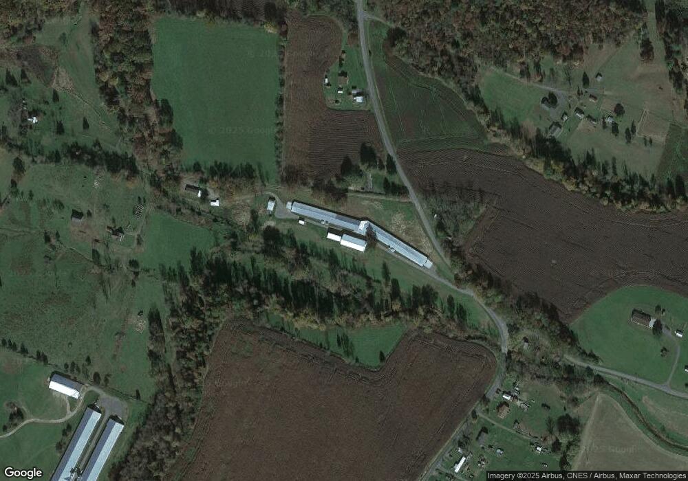
Map
Nearby Homes
- 344 Freemason Run Rd
- 1003 Natural Chimneys Rd
- 1003 Natural Chimney Rd
- 285 Paradise Ln
- 0 Paradise Ln
- TBD Paradise Ln
- 3 acres Mossy Creek Rd
- 3.39 acres Mossy Creek Rd
- 8787 Thorny Branch Rd
- 612 Dryden Rd
- 1111 Jennings Gap Rd
- TBD Roudabush Ln
- 8016 Rebel Ln
- 10909 Cook Town Rd
- 891 Union Church Rd
- 9429 Briery Branch Rd
- 76 Centerville Rd
- 2557 Hankey Mountain Hwy
- TBD Naked Creek Hollow Rd
- 8346 Spring Creek Rd
- 92 Old Clark Ln
- 102 Old C and W Railway Rd
- 37 Old C and W Railway Rd
- 123 Old Clark Ln
- 129 Old Clark Ln
- 141 Stokesville Rd
- 123 Old C and W Railway Rd
- 123 Old C and W Railway Rd
- 64 Dorcas Rd
- 101 Dorcas Rd
- 107 Dorcas Rd
- 69 Dorcas Rd
- 61 Dorcas Rd
- 79 Dorcas Rd
- 55 Dorcas Rd
- 73 Dorcas Rd
- 369 Eubank Rd
- 51 Clear View Ln
- 109 Stokesville Rd
- 204 Old C and W Railway Rd