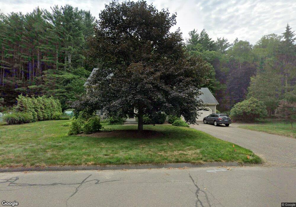
20 Old Mill Dr Collinsville, CT 06019
Estimated Value: $460,000 - $799,000
4
Beds
3
Baths
2,565
Sq Ft
$231/Sq Ft
Est. Value
About This Home
This home is located at 20 Old Mill Dr, Collinsville, CT 06019 and is currently estimated at $592,870, approximately $231 per square foot. 20 Old Mill Dr is a home located in Hartford County with nearby schools including Cherry Brook Primary School, Canton Intermediate School, and Canton Middle School.
Ownership History
Date
Name
Owned For
Owner Type
Purchase Details
Closed on
Oct 4, 1996
Sold by
Edlund Maureen
Bought by
Hartman Earl and Hartman Sally Ann
Current Estimated Value
Purchase Details
Closed on
Dec 15, 1989
Sold by
Aviano Peter
Bought by
Edlund David
Purchase Details
Closed on
Mar 25, 1988
Sold by
Hillside Est Of Ct
Bought by
Aivano Peter
Create a Home Valuation Report for This Property
The Home Valuation Report is an in-depth analysis detailing your home's value as well as a comparison with similar homes in the area
Home Values in the Area
Average Home Value in this Area
Purchase History
| Date | Buyer | Sale Price | Title Company |
|---|---|---|---|
| Hartman Earl | $239,500 | -- | |
| Hartman Earl | $239,500 | -- | |
| Edlund David | $288,000 | -- | |
| Aivano Peter | $286,900 | -- |
Source: Public Records
Mortgage History
| Date | Status | Borrower | Loan Amount |
|---|---|---|---|
| Open | Aivano Peter | $156,000 | |
| Closed | Aivano Peter | $179,000 | |
| Closed | Aivano Peter | $192,600 |
Source: Public Records
Tax History
| Year | Tax Paid | Tax Assessment Tax Assessment Total Assessment is a certain percentage of the fair market value that is determined by local assessors to be the total taxable value of land and additions on the property. | Land | Improvement |
|---|---|---|---|---|
| 2025 | $11,450 | $341,800 | $90,770 | $251,030 |
| 2024 | $11,672 | $341,800 | $90,770 | $251,030 |
| 2023 | $8,687 | $245,590 | $73,030 | $172,560 |
| 2022 | $8,274 | $245,590 | $73,030 | $172,560 |
| 2021 | $8,158 | $245,590 | $73,030 | $172,560 |
| 2020 | $8,004 | $245,590 | $73,030 | $172,560 |
| 2019 | $7,866 | $245,590 | $73,030 | $172,560 |
| 2018 | $8,047 | $262,120 | $89,300 | $172,820 |
| 2017 | $7,992 | $262,120 | $89,300 | $172,820 |
| 2016 | $7,801 | $262,120 | $89,300 | $172,820 |
| 2015 | $7,651 | $262,120 | $89,300 | $172,820 |
| 2014 | $7,486 | $262,120 | $89,300 | $172,820 |
Source: Public Records
Map
Nearby Homes
- 220 Main St Unit 2J
- 220 Main St Unit 6G
- 14 Brookview Cir
- 433 Main St
- 57 Henderson Rd
- 13 Meadow St
- 132 Morgan Rd
- 7 Church St N
- 116 Holcomb Hill Rd
- 308 Cherry Brook Rd
- 152 E Hill Rd
- 706 Timber Ln Unit 706
- 11 Timbercrest Dr
- 22 Bel Aire Ln
- 595 Town Hill Rd
- 15 Red Fox Run
- 40 Den Rd
- 64 Bridge St
- 121 Gracey Rd
- 103 New Hartford Rd
- 22 Old Mill Dr
- 18 Old Mill Dr
- 23 Old Mill Dr
- 11 Bidwell Farm Rd
- 16 Old Mill Dr
- 24 Old Mill Dr
- 8 Bidwell Farm Rd
- 25 Old Mill Dr
- 13 Old Mill Dr
- 14 Old Mill Dr
- 26 Old Mill Dr
- 12 Old Mill Dr
- 9 Bidwell Farm Rd
- 6 Bidwell Farm Rd
- 11 Old Mill Dr
- 27 Old Mill Dr
- 10 Old Mill Dr
- 4 Bidwell Farm Rd
- 7 Bidwell Farm Rd
- 9 Old Mill Dr
Your Personal Tour Guide
Ask me questions while you tour the home.