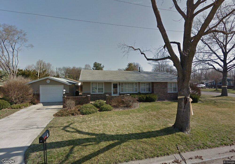
20 Ophir Ave Lincoln, IL 62656
Estimated Value: $134,000 - $150,000
3
Beds
--
Bath
--
Sq Ft
8,276
Sq Ft Lot
About This Home
This home is located at 20 Ophir Ave, Lincoln, IL 62656 and is currently estimated at $144,321. 20 Ophir Ave is a home located in Logan County with nearby schools including Adams Elementary School, Central Elementary School, and Lincoln Junior High School.
Ownership History
Date
Name
Owned For
Owner Type
Purchase Details
Closed on
Mar 2, 2021
Sold by
Kutz Carissa J
Bought by
Hutchison Charity D
Current Estimated Value
Home Financials for this Owner
Home Financials are based on the most recent Mortgage that was taken out on this home.
Original Mortgage
$98,989
Outstanding Balance
$88,886
Interest Rate
2.8%
Mortgage Type
New Conventional
Estimated Equity
$55,435
Purchase Details
Closed on
Nov 30, 2010
Sold by
Lippo Carol J and Mccue Jeanette
Bought by
Kutz Carissa J
Home Financials for this Owner
Home Financials are based on the most recent Mortgage that was taken out on this home.
Original Mortgage
$64,000
Interest Rate
3.57%
Mortgage Type
Stand Alone First
Create a Home Valuation Report for This Property
The Home Valuation Report is an in-depth analysis detailing your home's value as well as a comparison with similar homes in the area
Home Values in the Area
Average Home Value in this Area
Purchase History
| Date | Buyer | Sale Price | Title Company |
|---|---|---|---|
| Hutchison Charity D | $98,000 | None Available | |
| Kutz Carissa J | $80,000 | -- |
Source: Public Records
Mortgage History
| Date | Status | Borrower | Loan Amount |
|---|---|---|---|
| Open | Hutchison Charity D | $98,989 | |
| Previous Owner | Kutz Carissa J | $64,000 |
Source: Public Records
Tax History Compared to Growth
Tax History
| Year | Tax Paid | Tax Assessment Tax Assessment Total Assessment is a certain percentage of the fair market value that is determined by local assessors to be the total taxable value of land and additions on the property. | Land | Improvement |
|---|---|---|---|---|
| 2024 | $2,862 | $37,220 | $7,350 | $29,870 |
| 2023 | $2,692 | $34,470 | $6,810 | $27,660 |
| 2022 | $2,586 | $32,210 | $6,360 | $25,850 |
| 2021 | $3,062 | $30,930 | $6,110 | $24,820 |
| 2020 | $2,428 | $30,470 | $6,020 | $24,450 |
| 2019 | $2,364 | $29,870 | $5,900 | $23,970 |
| 2018 | $2,334 | $29,280 | $5,780 | $23,500 |
| 2017 | $2,320 | $29,280 | $5,780 | $23,500 |
| 2016 | $2,260 | $29,250 | $5,770 | $23,480 |
| 2015 | $2,210 | $28,800 | $5,570 | $23,230 |
| 2014 | $2,210 | $28,800 | $5,570 | $23,230 |
| 2013 | $2,210 | $27,340 | $5,290 | $22,050 |
| 2012 | $2,210 | $27,840 | $5,390 | $22,450 |
Source: Public Records
Map
Nearby Homes
- 1431 N Ottawa St
- 1503 N Kankakee St
- 1204 N Ottawa St
- 1208 N Kankakee St
- 1107 N Kankakee St
- 180 Regent St
- 6 Meadow Ln
- 311 Davenport St
- 1019 N Mclean St
- 145 Half Moon St
- 530 Grand Ave
- 703 Grand Ave
- 403 Grand Ave
- 515 Oglesby Ave
- 330 Water St
- 104 Tremont St
- 102 Crestwood Dr
- 417 N Union St
- 1354 Airport Rd
- 620 Tremont St
- 1609 Rutledge Dr
- 21 Ophir Ave
- 1608 Rutledge Dr
- 1615 Rutledge Dr
- 30 Ophir Ave
- 1621 Rutledge Dr
- 1528 Rutledge Dr
- 19 Ophir Ave
- 307 Rhoads Ave
- 305 Rhoads Ave
- 1620 Rutledge Dr
- 1522 Rutledge Dr
- 1627 Rutledge Dr
- 15 Ophir Ave
- 309 Rhoads Ave
- 1513 Rutledge Dr
- 1626 Rutledge Dr
- 46 Ophir Ave
- 1516 Rutledge Dr
- 234 Rochelle Ave