20 Orr Rd Groton, MA 01450
Estimated Value: $1,230,000
--
Bed
3
Baths
--
Sq Ft
5.42
Acres
About This Home
This home is located at 20 Orr Rd, Groton, MA 01450 and is currently priced at $1,230,000. 20 Orr Rd is a home located in Middlesex County with nearby schools including Groton Dunstable Regional High School and Groton Community School.
Ownership History
Date
Name
Owned For
Owner Type
Purchase Details
Closed on
Oct 10, 2023
Sold by
Lacombe Robert J and Lacombe Kristen M
Bought by
Lacombe Ft and Lacombe
Current Estimated Value
Create a Home Valuation Report for This Property
The Home Valuation Report is an in-depth analysis detailing your home's value as well as a comparison with similar homes in the area
Home Values in the Area
Average Home Value in this Area
Purchase History
| Date | Buyer | Sale Price | Title Company |
|---|---|---|---|
| Lacombe Ft | -- | None Available | |
| Lacombe Ft | -- | None Available | |
| Lacombe Ft | -- | None Available |
Source: Public Records
Tax History Compared to Growth
Tax History
| Year | Tax Paid | Tax Assessment Tax Assessment Total Assessment is a certain percentage of the fair market value that is determined by local assessors to be the total taxable value of land and additions on the property. | Land | Improvement |
|---|---|---|---|---|
| 2025 | $19,947 | $1,308,000 | $331,200 | $976,800 |
| 2024 | $19,682 | $1,304,300 | $331,200 | $973,100 |
| 2023 | $18,527 | $1,184,600 | $331,200 | $853,400 |
| 2022 | $17,185 | $999,700 | $300,000 | $699,700 |
| 2021 | $17,035 | $967,900 | $286,200 | $681,700 |
| 2020 | $16,720 | $962,000 | $286,200 | $675,800 |
| 2019 | $17,913 | $989,100 | $274,000 | $715,100 |
| 2018 | $17,968 | $962,400 | $274,000 | $688,400 |
| 2017 | $17,573 | $962,400 | $274,000 | $688,400 |
| 2016 | $17,071 | $909,000 | $257,300 | $651,700 |
| 2015 | $16,607 | $909,000 | $257,300 | $651,700 |
Source: Public Records
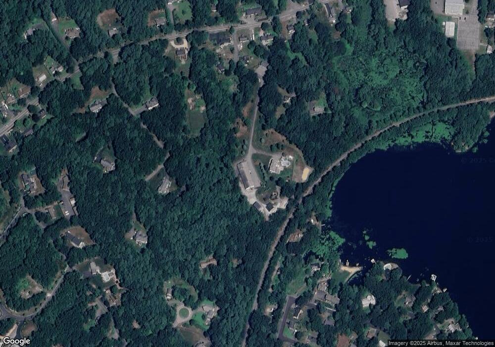
Map
Nearby Homes
- Lot 13 Monarch Path
- Lot 12 Monarch Path
- Lot 6 Noble Path
- Lot 7 Noble Path
- 12 Brookfield Dr Unit A
- 28 W Prescott St
- 26 Bayberry Rd
- 6 Coolidge St
- 9 Elm St
- 797 Boston Rd
- 16 Abbot St
- 8 Sandy Beach Rd
- 66 Patten Rd
- 95 Hummingbird Ln Unit 22
- 36 Whitetail Way
- 34 West St
- 33 West St
- 15 Oriole Dr
- 66 N Main St Unit 66
- 64 N Main St Unit 64
- 250 Forge Village Rd
- 5 Indian Run Trail
- 3 Indian Run Trail
- 30 Orr Rd
- 4 Clark Rd
- 1 Indian Run Trail
- 38 Orr Rd
- 10 Orr Rd
- 11 Orr Rd
- 111 Matawanakee Trail
- 252 Forge Village Rd
- 248 Forge Village Rd
- 300 Forge Village Rd
- 2 Clark Rd
- 290 Forge Village Rd
- 290 Forge Village Rd Unit B
- 3 Clark Rd
- 3 Clark Rd
- 246 Forge Village Rd
- 304 Forge Village Rd