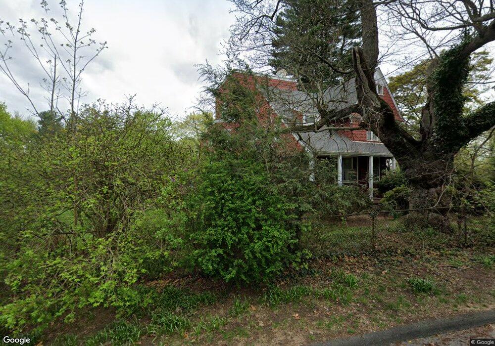
20 Overton Rd Ossining, NY 10562
Estimated Value: $1,037,000 - $1,160,000
7
Beds
4
Baths
3,515
Sq Ft
$312/Sq Ft
Est. Value
About This Home
This home is located at 20 Overton Rd, Ossining, NY 10562 and is currently estimated at $1,094,944, approximately $311 per square foot. 20 Overton Rd is a home located in Westchester County with nearby schools including Park School, Roosevelt Elementary School, and Claremont School.
Ownership History
Date
Name
Owned For
Owner Type
Purchase Details
Closed on
Jan 8, 2010
Sold by
Lee Jean S
Bought by
Yost Patrick H and Yost Mary Peterson
Current Estimated Value
Home Financials for this Owner
Home Financials are based on the most recent Mortgage that was taken out on this home.
Original Mortgage
$592,000
Outstanding Balance
$385,514
Interest Rate
4.79%
Mortgage Type
New Conventional
Estimated Equity
$709,430
Create a Home Valuation Report for This Property
The Home Valuation Report is an in-depth analysis detailing your home's value as well as a comparison with similar homes in the area
Home Values in the Area
Average Home Value in this Area
Purchase History
| Date | Buyer | Sale Price | Title Company |
|---|---|---|---|
| Yost Patrick H | $740,000 | Chicago Title Insurance Co |
Source: Public Records
Mortgage History
| Date | Status | Borrower | Loan Amount |
|---|---|---|---|
| Open | Yost Patrick H | $592,000 |
Source: Public Records
Tax History
| Year | Tax Paid | Tax Assessment Tax Assessment Total Assessment is a certain percentage of the fair market value that is determined by local assessors to be the total taxable value of land and additions on the property. | Land | Improvement |
|---|---|---|---|---|
| 2024 | $28,668 | $898,900 | $204,700 | $694,200 |
| 2023 | $26,912 | $832,300 | $204,700 | $627,600 |
| 2022 | $26,802 | $739,100 | $204,700 | $534,400 |
| 2021 | $23,563 | $665,900 | $204,700 | $461,200 |
| 2020 | $27,189 | $665,900 | $204,700 | $461,200 |
| 2019 | $27,323 | $645,900 | $240,800 | $405,100 |
| 2018 | $26,982 | $645,900 | $240,800 | $405,100 |
| 2017 | $3,399 | $639,600 | $240,800 | $398,800 |
| 2016 | $260,287 | $627,100 | $240,800 | $386,300 |
| 2015 | $16,356 | $33,200 | $10,800 | $22,400 |
| 2014 | $16,356 | $33,200 | $10,800 | $22,400 |
| 2013 | $16,356 | $33,200 | $10,800 | $22,400 |
Source: Public Records
Map
Nearby Homes
- 1 Noel Dr
- 59 Watson Ave
- 94 Meadow Rd
- 16 Maple Place
- 1 Edward St
- 132 Croton Ave
- 135 Main St Unit 203
- 90 Broadway
- 25 William St
- 15 Ferris Place
- 39 Washington Ave
- 12 Broad Ave
- 131 Spring St
- 139 Spring St
- 38 Terrace Ave
- 117 S Highland Ave Unit L2
- 121 S Highland Ave Unit 5F
- 121 S Highland Ave Unit 5J
- 121 S Highland Ave Unit 6L
- 121 S Highland Ave Unit 6K
Your Personal Tour Guide
Ask me questions while you tour the home.