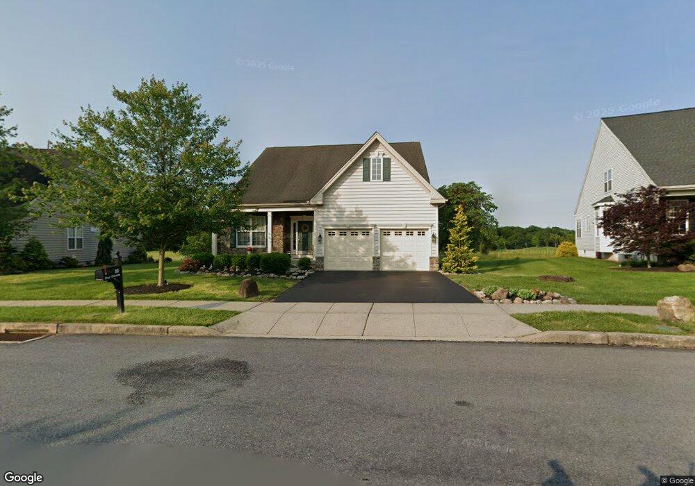
20 Par Cir Pottstown, PA 19464
Limerick Township NeighborhoodEstimated Value: $579,368 - $621,000
2
Beds
2
Baths
2,294
Sq Ft
$262/Sq Ft
Est. Value
About This Home
This home is located at 20 Par Cir, Pottstown, PA 19464 and is currently estimated at $602,092, approximately $262 per square foot. 20 Par Cir is a home located in Montgomery County with nearby schools including Evans Elementary School, Spring-Ford Middle School 8th Grade Center, and Spring-Ford Middle School 5/6/7 Grade Center.
Ownership History
Date
Name
Owned For
Owner Type
Purchase Details
Closed on
May 10, 2006
Sold by
Orleans At Limerick Lp
Bought by
Shannon Edward G and Shannon Christine J
Current Estimated Value
Home Financials for this Owner
Home Financials are based on the most recent Mortgage that was taken out on this home.
Original Mortgage
$302,300
Outstanding Balance
$176,378
Interest Rate
6.53%
Estimated Equity
$425,714
Purchase Details
Closed on
Sep 28, 2004
Sold by
Not Provided
Bought by
Not Provided
Create a Home Valuation Report for This Property
The Home Valuation Report is an in-depth analysis detailing your home's value as well as a comparison with similar homes in the area
Home Values in the Area
Average Home Value in this Area
Purchase History
| Date | Buyer | Sale Price | Title Company |
|---|---|---|---|
| Shannon Edward G | $377,920 | First American Title Ins Co | |
| Not Provided | $4,200,000 | First American Title Ins Co |
Source: Public Records
Mortgage History
| Date | Status | Borrower | Loan Amount |
|---|---|---|---|
| Open | Shannon Edward G | $302,300 |
Source: Public Records
Tax History Compared to Growth
Tax History
| Year | Tax Paid | Tax Assessment Tax Assessment Total Assessment is a certain percentage of the fair market value that is determined by local assessors to be the total taxable value of land and additions on the property. | Land | Improvement |
|---|---|---|---|---|
| 2025 | $7,586 | $196,180 | -- | -- |
| 2024 | $7,586 | $196,180 | -- | -- |
| 2023 | $7,238 | $196,180 | $0 | $0 |
| 2022 | $6,993 | $196,180 | $0 | $0 |
| 2021 | $6,827 | $196,180 | $0 | $0 |
| 2020 | $6,654 | $196,180 | $0 | $0 |
| 2019 | $6,533 | $196,180 | $0 | $0 |
| 2018 | $5,068 | $196,180 | $0 | $0 |
| 2017 | $6,412 | $196,180 | $0 | $0 |
| 2016 | $6,337 | $196,180 | $0 | $0 |
| 2015 | $6,062 | $196,180 | $0 | $0 |
| 2014 | $6,062 | $196,180 | $0 | $0 |
Source: Public Records
Map
Nearby Homes
- 0 Industrial Pkwy Unit PAMC2142810
- 20 Bunker Way
- 1180 Rupert Rd
- 1687 Rupert Rd
- 1629 Rupert Rd
- 1060 Oakdale Dr
- 847 Rivendell Ln
- 90 Kurtz Rd
- 3000 E High St Unit 1
- 2933 E High St
- 172 Oak Creek Dr
- 0 Steinmetz Rd
- 2672 Crownview Rd
- 17 Lightcap Rd
- 94 Presidential Dr
- 217 S Park Rd
- 300 Deer Run Ct
- 59 Houck Rd
- 180 Deer Run Ct
- 160 Deer Run Ct