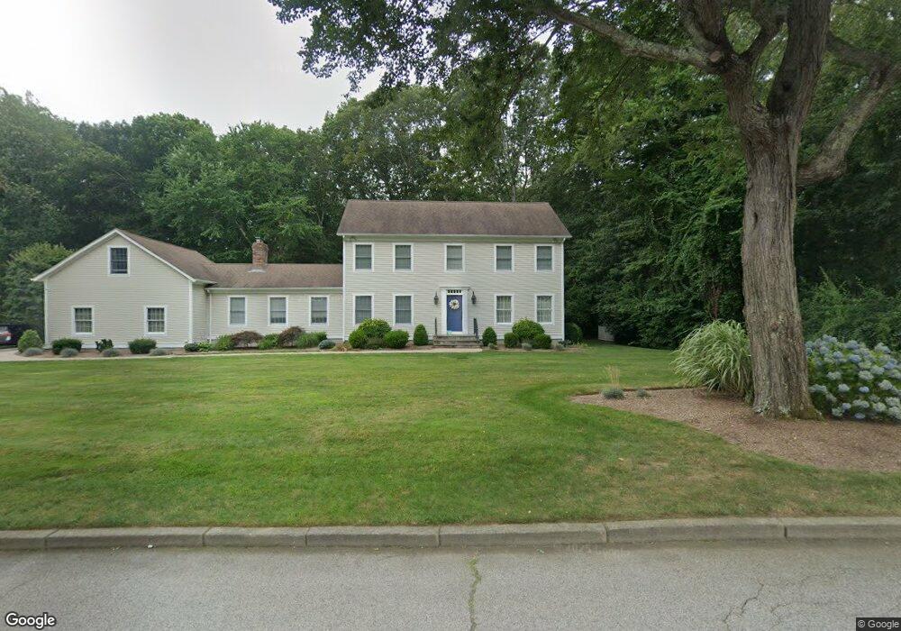
20 Pardons Wood Ln East Greenwich, RI 02818
Frenchtown NeighborhoodEstimated Value: $1,060,000 - $1,106,000
4
Beds
5
Baths
4,014
Sq Ft
$269/Sq Ft
Est. Value
About This Home
This home is located at 20 Pardons Wood Ln, East Greenwich, RI 02818 and is currently estimated at $1,079,600, approximately $268 per square foot. 20 Pardons Wood Ln is a home located in Kent County with nearby schools including Frenchtown Elementary School, James H. Eldredge Elementary School, and East Greenwich High School.
Ownership History
Date
Name
Owned For
Owner Type
Purchase Details
Closed on
Aug 2, 1999
Sold by
Beretta David and Beckett John T
Bought by
Neumann David P and Neumann Mary E
Current Estimated Value
Home Financials for this Owner
Home Financials are based on the most recent Mortgage that was taken out on this home.
Original Mortgage
$268,000
Interest Rate
7.61%
Create a Home Valuation Report for This Property
The Home Valuation Report is an in-depth analysis detailing your home's value as well as a comparison with similar homes in the area
Home Values in the Area
Average Home Value in this Area
Purchase History
| Date | Buyer | Sale Price | Title Company |
|---|---|---|---|
| Neumann David P | $335,000 | -- |
Source: Public Records
Mortgage History
| Date | Status | Borrower | Loan Amount |
|---|---|---|---|
| Open | Neumann David P | $273,000 | |
| Closed | Neumann David P | $268,000 |
Source: Public Records
Tax History Compared to Growth
Tax History
| Year | Tax Paid | Tax Assessment Tax Assessment Total Assessment is a certain percentage of the fair market value that is determined by local assessors to be the total taxable value of land and additions on the property. | Land | Improvement |
|---|---|---|---|---|
| 2025 | $13,253 | $851,200 | $218,000 | $633,200 |
| 2024 | $12,538 | $851,200 | $218,000 | $633,200 |
| 2023 | $12,055 | $551,700 | $150,400 | $401,300 |
| 2022 | $11,817 | $551,700 | $150,400 | $401,300 |
| 2021 | $11,591 | $551,700 | $150,400 | $401,300 |
| 2020 | $11,900 | $507,900 | $148,700 | $359,200 |
| 2019 | $11,788 | $507,900 | $148,700 | $359,200 |
| 2018 | $11,682 | $507,900 | $148,700 | $359,200 |
| 2017 | $12,490 | $527,900 | $177,000 | $350,900 |
| 2016 | $12,717 | $527,900 | $177,000 | $350,900 |
| 2015 | $12,279 | $527,900 | $177,000 | $350,900 |
| 2014 | $11,300 | $485,800 | $158,000 | $327,800 |
Source: Public Records
Map
Nearby Homes
- 1121 Tillinghast Rd
- 0 South Rd Unit 1375478
- 20 Bailey Blvd
- 37 Ridge Rd
- 65 Huguenot Dr
- 1289 South Rd
- 0 Quaker Ln
- 120 Adirondack Dr
- 1 Gerald's Farm Dr
- 15 Ezechiel Carre Rd
- 85 Sheep Farm Dr
- 180 South Rd
- 9 Caddy Rock Rd Unit A
- 26 Hunts River Dr
- 15 Caddy Rock Rd Unit A
- 211 Old Baptist Rd
- 233 Old Baptist Rd
- 4000 Quaker Ln
- 0 Princess Pine Dr
- 105 Princess Pine Dr
- 30 Pardons Wood Ln
- 25 Pardons Wood Ln
- 15 Pardons Wood Ln
- 40 Pardons Wood Ln
- 10 Pardons Wood Ln
- 5 Pardons Wood Ln
- 1037 Tillinghast Rd
- 1 Pardons Wood Ln
- 959 Tillinghast Rd
- 50 Pardon's Wood Ln
- 50 Pardons Wood Ln
- 1142 Tillinghast Rd
- 1049 Tillinghast Rd
- 1069 Tillinghast Rd
- 949 Tillinghast Rd
- 939 Tillinghast Rd
- 45 Pardons Wood Ln
- 1089 Tillinghast Rd
- 35 Pardons Wood Ln
- 1099 Tillinghast Rd