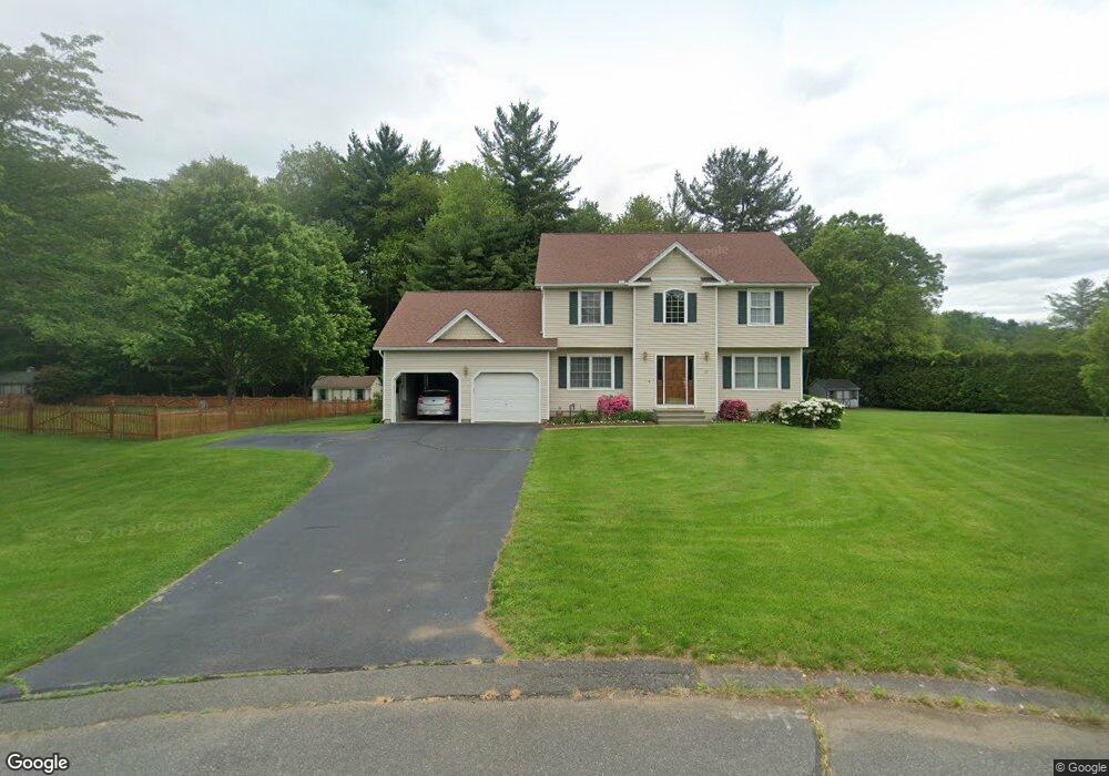
20 Park River Cir Westfield, MA 01085
Estimated Value: $376,000 - $512,691
4
Beds
3
Baths
1,970
Sq Ft
$240/Sq Ft
Est. Value
About This Home
This home is located at 20 Park River Cir, Westfield, MA 01085 and is currently estimated at $473,423, approximately $240 per square foot. 20 Park River Cir is a home located in Hampden County with nearby schools including Westfield High School and Saint Mary High School.
Ownership History
Date
Name
Owned For
Owner Type
Purchase Details
Closed on
Sep 28, 1998
Sold by
Penniwise Bldrs Ma Llc
Bought by
Burke Richard and Burke Mary E
Current Estimated Value
Home Financials for this Owner
Home Financials are based on the most recent Mortgage that was taken out on this home.
Original Mortgage
$145,000
Outstanding Balance
$31,664
Interest Rate
6.87%
Mortgage Type
Purchase Money Mortgage
Estimated Equity
$441,759
Create a Home Valuation Report for This Property
The Home Valuation Report is an in-depth analysis detailing your home's value as well as a comparison with similar homes in the area
Home Values in the Area
Average Home Value in this Area
Purchase History
| Date | Buyer | Sale Price | Title Company |
|---|---|---|---|
| Burke Richard | $203,500 | -- |
Source: Public Records
Mortgage History
| Date | Status | Borrower | Loan Amount |
|---|---|---|---|
| Open | Burke Richard | $145,000 |
Source: Public Records
Tax History Compared to Growth
Tax History
| Year | Tax Paid | Tax Assessment Tax Assessment Total Assessment is a certain percentage of the fair market value that is determined by local assessors to be the total taxable value of land and additions on the property. | Land | Improvement |
|---|---|---|---|---|
| 2025 | $6,653 | $438,300 | $141,100 | $297,200 |
| 2024 | $6,666 | $417,400 | $128,200 | $289,200 |
| 2023 | $6,272 | $383,000 | $122,300 | $260,700 |
| 2022 | $6,272 | $339,200 | $109,200 | $230,000 |
| 2021 | $6,079 | $322,000 | $103,000 | $219,000 |
| 2020 | $5,975 | $310,400 | $103,000 | $207,400 |
| 2019 | $5,844 | $297,100 | $98,000 | $199,100 |
| 2018 | $5,752 | $297,100 | $98,000 | $199,100 |
| 2017 | $5,626 | $289,700 | $99,100 | $190,600 |
| 2016 | $5,632 | $289,700 | $99,100 | $190,600 |
| 2015 | $5,278 | $284,700 | $99,100 | $185,600 |
| 2014 | $3,950 | $284,700 | $99,100 | $185,600 |
Source: Public Records
Map
Nearby Homes
- 78 Granville Rd Unit 11
- 128 Crane Ave
- 11 Highland Cir
- 0 Fox Hill Dr
- 172 Valley View Dr
- 508 Granville Rd
- 324 Russell Rd Unit 204
- 82 S Maple St Unit 11
- 82 S Maple St Unit 43
- 74 S Maple St
- 70 S Maple St
- 40 Heritage Ln
- 70-74 S Maple St
- 15 Bates St
- 13 King Place
- 549 Russell Rd Unit 6B
- 555 Russell Rd Unit D18
- 386 Hillside Rd
- 113 Franklin St
- 291 Pochassic Rd
- 24 Park River Cir
- 16 Park River Cir
- 12 Park River Cir
- 25 Park River Cir
- 21 Park River Cir
- 21 Park River Cir
- 8 Park River Cir
- 17 Park River Cir
- 13 Park River Cir
- 9 Park River Cir
- 9 Park River Cir
- 5 Park River Cir
- 112 Park River Dr
- 110 Park River Dr
- 113 Park River Dr
- 119 Park River Dr
- 111 Park River Dr
- 109 Park River Dr
- 121 Park River Dr
- 108 Park River Dr