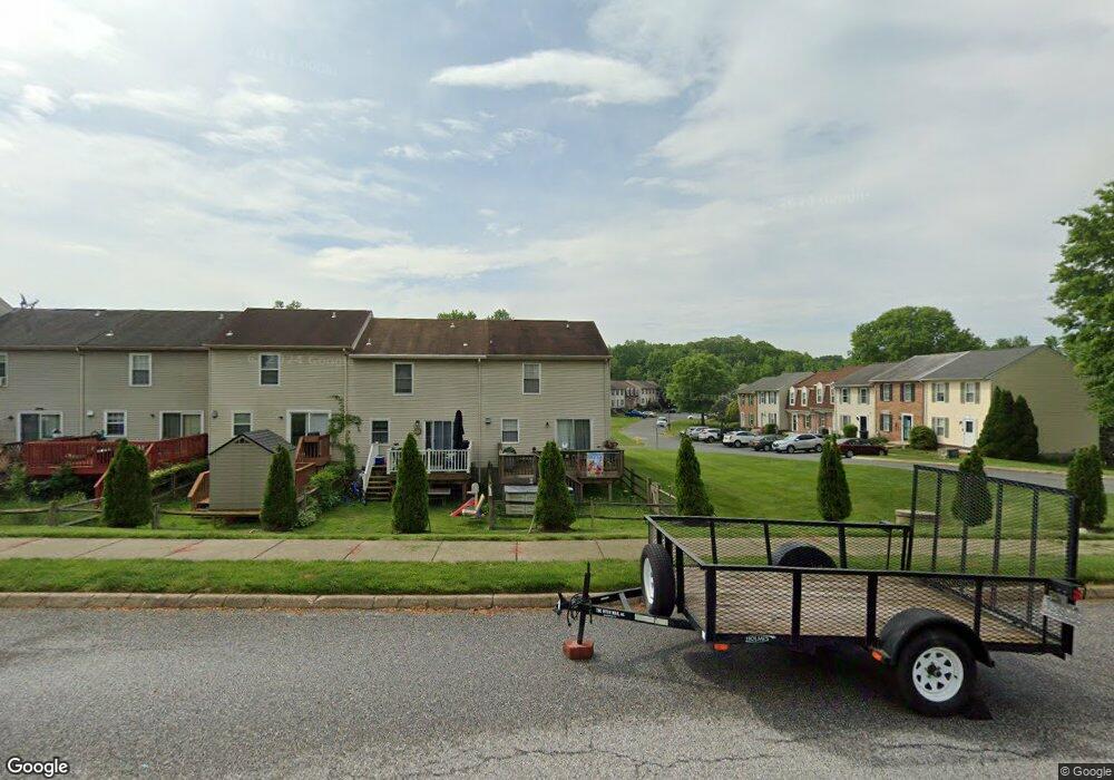
20 Patricks Ct Abingdon, MD 21009
Estimated Value: $242,497 - $265,000
Studio
2
Baths
1,080
Sq Ft
$234/Sq Ft
Est. Value
About This Home
This home is located at 20 Patricks Ct, Abingdon, MD 21009 and is currently estimated at $252,624, approximately $233 per square foot. 20 Patricks Ct is a home located in Harford County with nearby schools including William Paca/Old Post Road Elementary School, Edgewood Middle School, and Edgewood High School.
Ownership History
Date
Name
Owned For
Owner Type
Purchase Details
Closed on
Dec 27, 1996
Sold by
Blevins Richard A
Bought by
England Roy M
Current Estimated Value
Purchase Details
Closed on
Dec 29, 1987
Sold by
Woodsdale Ltd Ptnshp
Bought by
Blevins Richard A
Home Financials for this Owner
Home Financials are based on the most recent Mortgage that was taken out on this home.
Original Mortgage
$60,000
Interest Rate
10.64%
Create a Home Valuation Report for This Property
The Home Valuation Report is an in-depth analysis detailing your home's value as well as a comparison with similar homes in the area
Home Values in the Area
Average Home Value in this Area
Purchase History
| Date | Buyer | Sale Price | Title Company |
|---|---|---|---|
| England Roy M | $75,900 | -- | |
| Blevins Richard A | $60,000 | -- |
Source: Public Records
Mortgage History
| Date | Status | Borrower | Loan Amount |
|---|---|---|---|
| Previous Owner | Blevins Richard A | $60,000 | |
| Closed | England Roy M | -- |
Source: Public Records
Tax History
| Year | Tax Paid | Tax Assessment Tax Assessment Total Assessment is a certain percentage of the fair market value that is determined by local assessors to be the total taxable value of land and additions on the property. | Land | Improvement |
|---|---|---|---|---|
| 2025 | $1,658 | $165,133 | $0 | $0 |
| 2024 | $1,658 | $154,867 | $0 | $0 |
| 2023 | $1,576 | $144,600 | $50,500 | $94,100 |
| 2022 | $1,556 | $142,800 | $0 | $0 |
| 2021 | $1,606 | $141,000 | $0 | $0 |
| 2020 | $1,606 | $139,200 | $50,500 | $88,700 |
| 2019 | $1,581 | $137,033 | $0 | $0 |
| 2018 | $1,542 | $134,867 | $0 | $0 |
| 2017 | $1,518 | $132,700 | $0 | $0 |
| 2016 | -- | $132,700 | $0 | $0 |
| 2015 | $1,520 | $132,700 | $0 | $0 |
| 2014 | $1,520 | $134,300 | $0 | $0 |
Source: Public Records
Map
Nearby Homes
- 3633 Torey Ln
- 22 Haven Ave
- 404 Arrow Wood Ct
- 3510 Thomas Pointe Ct Unit 2A
- 2301 Snow Rd
- 3172 Hidden Ridge Terrace
- 201 Star Pointe Ct Unit 1A
- 3132 Laurel View Dr
- 3402 Tulleys Pointe Ct Unit 1A
- 205 Star Pointe Ct Unit 1D
- 303 Talbot Ct
- 446 Crisfield Dr
- 3617 Longridge Ct
- 1503 Green Rd
- 3301 Betterton Cir
- 3013 Raking Leaf Dr
- 463 Crisfield Dr
- 618 Milford Ct
- 3336 Garrison Cir
- 2976 Raking Leaf Dr
Your Personal Tour Guide
Ask me questions while you tour the home.