Estimated Value: $839,000 - $972,000
3
Beds
3
Baths
1,614
Sq Ft
$558/Sq Ft
Est. Value
About This Home
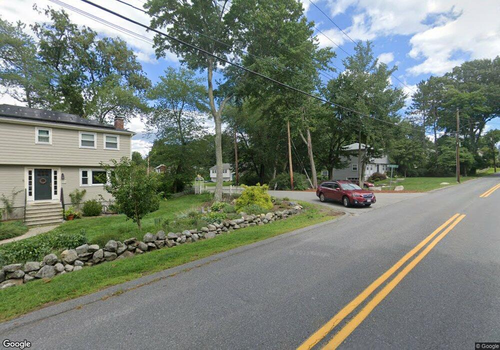
This home is located at 20 Patriots Rd, Acton, MA 01720 and is currently estimated at $900,900, approximately $558 per square foot. 20 Patriots Rd is a home located in Middlesex County with nearby schools including Acton-Boxborough Regional High School and Oak Meadow Montessori School.
Ownership History
Date
Name
Owned For
Owner Type
Purchase Details
Closed on
Jan 17, 2017
Sold by
Jin Xiaoping and Gao Yue
Bought by
Jin Allan and Gao Tina
Current Estimated Value
Home Financials for this Owner
Home Financials are based on the most recent Mortgage that was taken out on this home.
Original Mortgage
$100,000
Outstanding Balance
$82,315
Interest Rate
4.08%
Mortgage Type
New Conventional
Estimated Equity
$818,585
Purchase Details
Closed on
Jan 26, 2001
Sold by
Boland Wayne D and Boland Rose Marie
Bought by
Jin Xiaopong and Gao Yue
Home Financials for this Owner
Home Financials are based on the most recent Mortgage that was taken out on this home.
Original Mortgage
$280,000
Interest Rate
7.39%
Mortgage Type
Purchase Money Mortgage
Purchase Details
Closed on
Aug 8, 1988
Sold by
Jurovich Gary L
Bought by
Boland Wayne D
Create a Home Valuation Report for This Property
The Home Valuation Report is an in-depth analysis detailing your home's value as well as a comparison with similar homes in the area
Home Values in the Area
Average Home Value in this Area
Purchase History
| Date | Buyer | Sale Price | Title Company |
|---|---|---|---|
| Jin Allan | -- | -- | |
| Jin Xiaopong | $353,000 | -- | |
| Boland Wayne D | $253,000 | -- |
Source: Public Records
Mortgage History
| Date | Status | Borrower | Loan Amount |
|---|---|---|---|
| Open | Jin Allan | $100,000 | |
| Previous Owner | Boland Wayne D | $227,500 | |
| Previous Owner | Boland Wayne D | $280,000 | |
| Previous Owner | Boland Wayne D | $280,000 |
Source: Public Records
Tax History Compared to Growth
Tax History
| Year | Tax Paid | Tax Assessment Tax Assessment Total Assessment is a certain percentage of the fair market value that is determined by local assessors to be the total taxable value of land and additions on the property. | Land | Improvement |
|---|---|---|---|---|
| 2025 | $12,230 | $713,100 | $350,100 | $363,000 |
| 2024 | $11,589 | $695,200 | $350,100 | $345,100 |
| 2023 | $11,365 | $647,200 | $318,200 | $329,000 |
| 2022 | $11,199 | $575,800 | $276,900 | $298,900 |
| 2021 | $10,524 | $520,200 | $256,300 | $263,900 |
| 2020 | $10,009 | $520,200 | $256,300 | $263,900 |
| 2019 | $9,495 | $490,200 | $256,300 | $233,900 |
| 2018 | $9,006 | $464,700 | $256,300 | $208,400 |
| 2017 | $8,682 | $455,500 | $256,300 | $199,200 |
| 2016 | $8,554 | $444,800 | $256,300 | $188,500 |
| 2015 | $8,331 | $437,300 | $256,300 | $181,000 |
| 2014 | $8,010 | $411,800 | $256,300 | $155,500 |
Source: Public Records
Map
Nearby Homes
- 23 John Swift Rd
- 491 Main St
- 524 Main St
- 709 Main St
- 37 Hosmer St
- 209 Great Rd Unit C1
- 159 Skyline Dr Unit 159
- 16 Wampus Ave Unit 32
- 11 Horseshoe Dr
- 5 Oakwood Rd
- 4 Huron Rd
- 386 Great Rd Unit A8
- 390 Great Rd Unit A2
- 7 Blue Heron Way
- 420 Great Rd Unit B3
- 6 Bittersweet Ln
- 403 Great Rd Unit 5
- 428 Great Rd Unit 10
- 407 Great Rd Unit 9
- 1 Bayberry Rd